4.6 km away
Airport Loop

Gorgeous loop around Airport Butte offering spectacular views of the valley.
Moderate Hiking
- Distance
- 5.2 km
- Ascent
- 132 m
- Descent
- 133 m
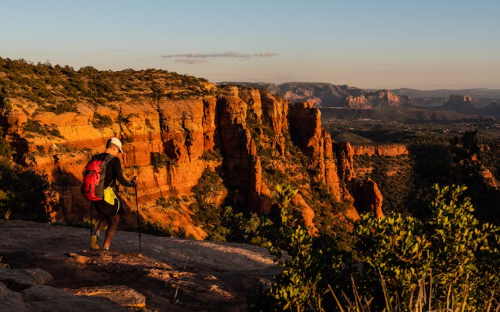
Short hike to a stunning overlook.
Hiking Difficult

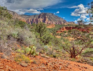
This short 1.7-mile round trip hike to Schuerman Vista is a high-value outing that leads to an incredibly beautiful viewpoint at the end. If you're looking for a short hike with a high view-to-effort ratio, Schuerman Vista definitely fits the bill.
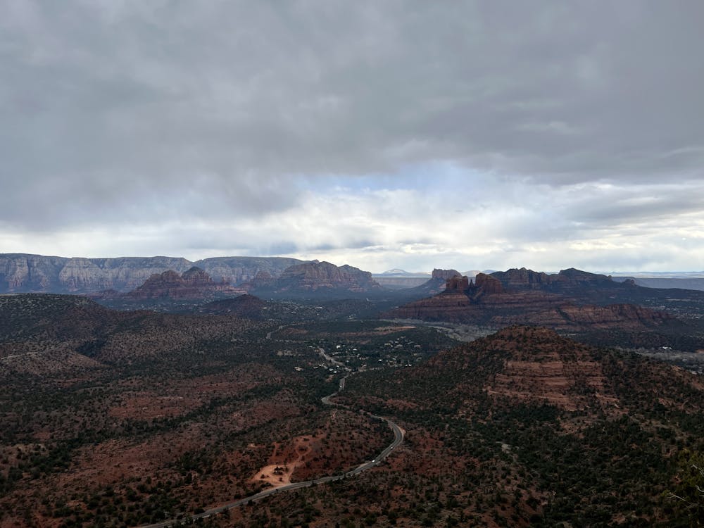
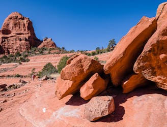
While this hike is short, it is by no means the easiest trail in Sedona. The trail begins climbing immediately from the parking lot, and in about 0.8 miles, it will gain 364 vertical feet. The trail tread along the way features plenty of embedded rocks and ledgy steps that must be negotiated. Thanks to this steep climb and rocky trail tread, this short hike gets a "Difficult" FATMAP rating, although an argument could be made for calling this hike "Moderate." Sometimes, it's your perspective that matters most.
After the initial climb, you'll reach a 4-way junction at a saddle on the hill. Turning left will lead to the viewpoint, but turning right will lead to the top of Schuerman Mountain itself. If you have time and energy, consider tagging both points.
The grade for the rest of the hike to Schuerman Vista mellows out considerably, but the trail tread gets even rockier. You'll have to boulder hop in a few spots as you work your way out to the end of the point.
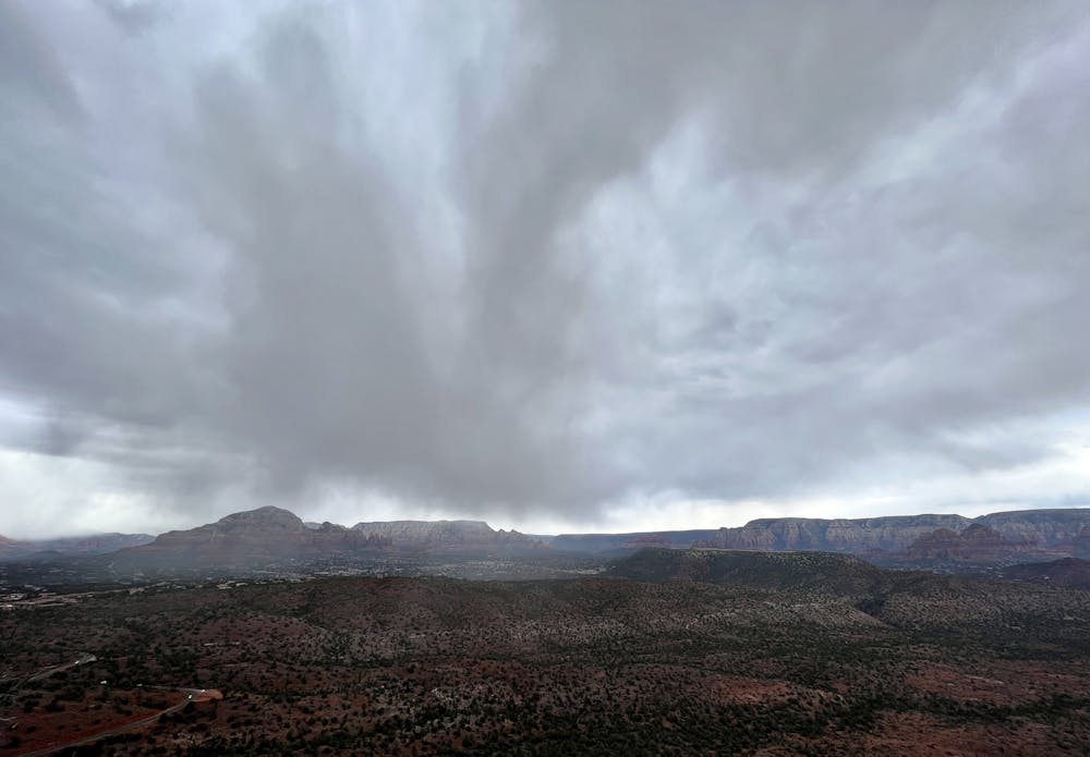
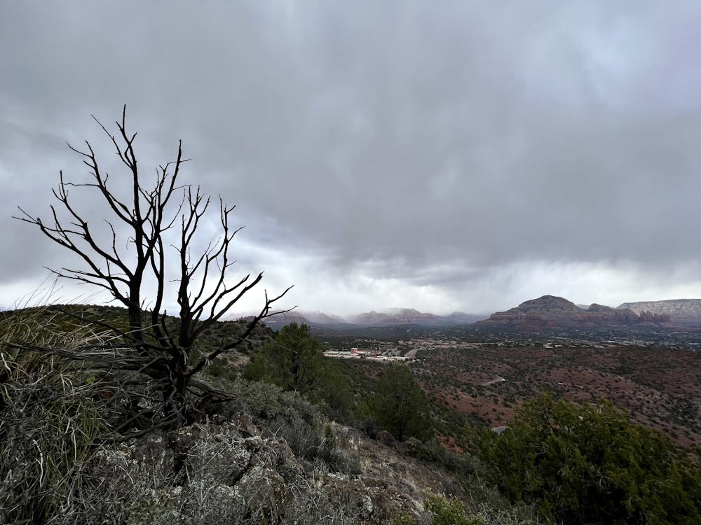
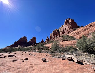
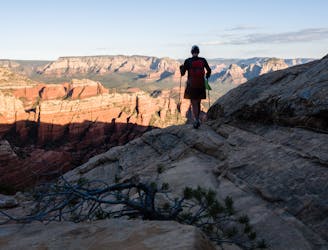
Once at the overlook, sit down, relax, and soak it all in! The vantage from Schuerman Vista is absolutely incredible, and you'll be able to spot many of Sedona's most famous red rock formations. If you need help identifying any of the features that you see, pull out FATMAP and zoom around in the map to help you pinpoint the formations you're looking at.
Difficult
Hiking trails where obstacles such as rocks or roots are prevalent. Some obstacles can require care to step over or around. At times, the trail can be worn and eroded. The grade of the trail is generally quite steep, and can often lead to strenuous hiking.

The trail contains some obstacles such as outcroppings and rock which could cause injury.

Close to help in case of emergency.
4.6 km away
Gorgeous loop around Airport Butte offering spectacular views of the valley.
Moderate Hiking
5.5 km away
Enjoy a 360-degree red rock sensory experience on this incredible hike!
Difficult Hiking
5.9 km away

Hike and scramble to one of the most beautiful caves in Sedona.
Severe Hiking
5.9 km away
A fantastic 5-mile loop around Brin's Butte.
Difficult Hiking
6.2 km away

This short hike to a high plateau provides 360° views.
Severe Hiking
6.2 km away

Hike to arguably Sedona's most famous tourist site.
Moderate Hiking
6.2 km away
This Sedona hike provides gorgeous views of canyons & red rock formations.
Severe Hiking
6.6 km away
Hike to a beautiful and wildly-popular overlook.
Difficult Hiking
6.7 km away

Hike to a stunning 90-foot arch!
Difficult Hiking
7.7 km away
A hike that follows an exciting expert-level mountain bike route.
Severe Hiking
14 routes · Hiking

10 routes · Alpine Climbing · Canyoning · Hiking