626 m away
West Corner

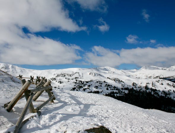
Open powder field with some wind scoured exposure
Moderate Freeride Skiing
- Distance
- 822 m
- Ascent
- 0 m
- Descent
- 344 m

A popular aread from the top of the road to the bottom with no hike required
Freeride Skiing Moderate

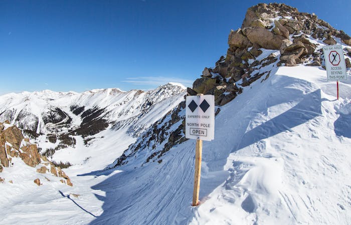
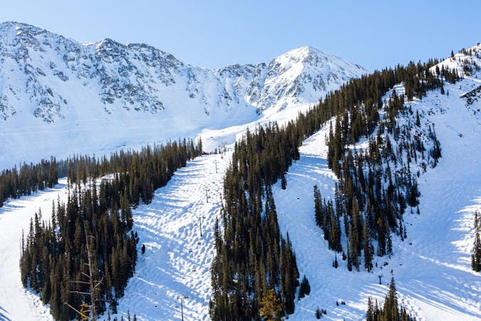
Park or hitch a ride to the top of the road and just drop in where ever it looks good. The first 300 feet or so is above the trees and offers several starting lines, the option furthest to your left will take you into the bottom of the Saddle Run gully. To your right, hosts a more consistently steep pitch all the way to the road. At the bottom keep an eye out for the jumps and log rail features that have been erected by local snowboarders. Be aware this is the most popular area of the pass since it does not require a hike.
Moderate
Slopes become slightly steeper at around 25-30 degrees.
626 m away

Open powder field with some wind scoured exposure
Moderate Freeride Skiing
794 m away

Picturesque open valley that is well worth the hike
Moderate Freeride Skiing
951 m away

short runs of chutes and trees
Difficult Freeride Skiing
1.1 km away

Extremely steep cliff zones for the most experienced backcountry users
Severe Freeride Skiing
1.3 km away

Short bootpack to deep backcountry fresh lines
Difficult Freeride Skiing
3 km away

nice steep chute off the main Piste Trail Turbo
Severe Freeride Skiing
3 km away

Nice exposed rock chute hidden off Turbo
Severe Freeride Skiing
3.4 km away

Frequently accessed gladed run out of the resort gate
Moderate Freeride Skiing
3.4 km away

Steep tight trees
Difficult Freeride Skiing
3.5 km away

Nice steep short line off of East Wall
Difficult Freeride Skiing

12 routes · Freeride Skiing · Ski Touring

8 routes · Freeride Skiing

4 routes · Freeride Skiing · Resort Ski Touring