553 m away
Short Laps

short runs of chutes and trees
Difficult Freeride Skiing
- Distance
- 372 m
- Ascent
- 0 m
- Descent
- 153 m
Open powder field with some wind scoured exposure
Freeride Skiing Moderate

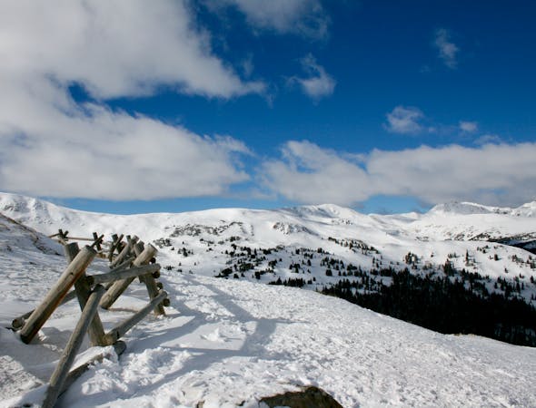
Starting at the top of the road where the ridgeline for Mt. Snikau starts, users can hike along the edge until finding a suitable drop zone. Most of this area is south facing and above tree line therefore exposure to wind and sun is high and can make for inconsistent snow pack. This area sees very little if no traffic and is a great place to go on a busy weekend when the lines on the east side of the divide are tracked. Having a ride waiting for you at the bottom of the hairpin turn is going to be ideal since there might be less traffic going your way back up. Lastly there may not be a bootpack here, so be ready to post hole, or bring your touring equipment.
Moderate
Slopes become slightly steeper at around 25-30 degrees.

As well as the slope itself, there are some obstacles (such as rock outcrops) which could aggravate injury.

Little chance of being seen or helped in case of an accident.
553 m away
short runs of chutes and trees
Difficult Freeride Skiing
626 m away

A popular aread from the top of the road to the bottom with no hike required
Moderate Freeride Skiing
1.4 km away

Picturesque open valley that is well worth the hike
Moderate Freeride Skiing
1.5 km away

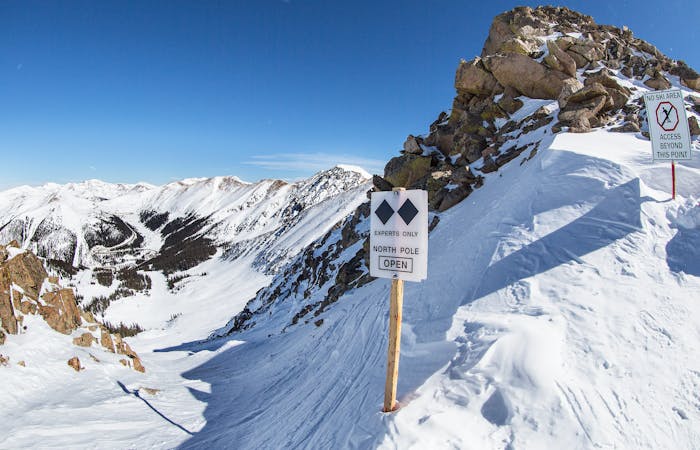
Extremely steep cliff zones for the most experienced backcountry users
Severe Freeride Skiing
1.7 km away

Short bootpack to deep backcountry fresh lines
Difficult Freeride Skiing
3.2 km away

nice steep chute off the main Piste Trail Turbo
Severe Freeride Skiing
3.3 km away

Nice exposed rock chute hidden off Turbo
Severe Freeride Skiing
3.5 km away

Nice steep short line off of East Wall
Difficult Freeride Skiing
3.6 km away

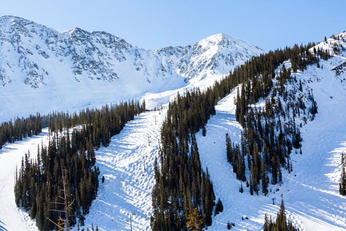
Frequently accessed gladed run out of the resort gate
Moderate Freeride Skiing
3.7 km away

Steep tight trees
Difficult Freeride Skiing
12 routes · Freeride Skiing · Ski Touring
8 routes · Freeride Skiing
4 routes · Freeride Skiing · Resort Ski Touring