1.3 km away
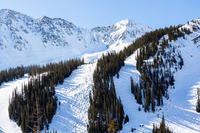
Main Line

A popular aread from the top of the road to the bottom with no hike required
Moderate Freeride Skiing
- Distance
- 668 m
- Ascent
- 0 m
- Descent
- 193 m
Short bootpack to deep backcountry fresh lines
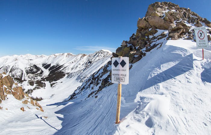
Freeride Skiing Difficult

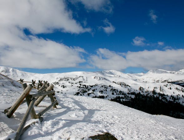
Mine Dumps is located through the backcountry access gate next to the rock house at the top of Chair 1. Starting above tree line with occasional exposure, the run is steep for the first few turns before becoming a good mix of open trees and rolling meadows. Head skiers right to get back to the common parking and hitching spot at the bottom. The run goes directly down to the pass road, so arrange your own shuttle back to the ski area or get ready to use your thumb.
Difficult
Serious gradient of 30-38 degrees where a real risk of slipping exists.

As well as the slope itself, there are some obstacles (such as rock outcrops) which could aggravate injury.

In the high mountains or remote conditions, all individuals must be completely autonomous in every situation.
1.3 km away
A popular aread from the top of the road to the bottom with no hike required
Moderate Freeride Skiing
1.4 km away

Picturesque open valley that is well worth the hike
Moderate Freeride Skiing
1.6 km away

short runs of chutes and trees
Difficult Freeride Skiing
1.7 km away

Open powder field with some wind scoured exposure
Moderate Freeride Skiing
2.2 km away

Extremely steep cliff zones for the most experienced backcountry users
Severe Freeride Skiing
4.1 km away

nice steep chute off the main Piste Trail Turbo
Severe Freeride Skiing
4.1 km away

Nice exposed rock chute hidden off Turbo
Severe Freeride Skiing
4.3 km away

Frequently accessed gladed run out of the resort gate
Moderate Freeride Skiing
4.4 km away

Steep tight trees
Difficult Freeride Skiing
4.7 km away

Nice steep short line off of East Wall
Difficult Freeride Skiing
12 routes · Freeride Skiing · Ski Touring
8 routes · Freeride Skiing
4 routes · Freeride Skiing · Resort Ski Touring