794 m away
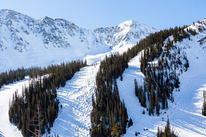
Main Line

A popular aread from the top of the road to the bottom with no hike required
Moderate Freeride Skiing
- Distance
- 668 m
- Ascent
- 0 m
- Descent
- 193 m
Picturesque open valley that is well worth the hike
Freeride Skiing Moderate

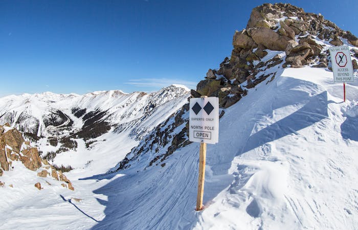
The Saddle is a 30-45 minute hike from the top of the pass road using the bootpack that starts at the marker sign. At the top of this zone there are amazing views of Arapahoe Basin, Keystone, and Breckenridge ski areas. There are numerous spots to drop in from, none very intimidating, but the faces leading into the two main gullies are steep enough to put up some rooster tails. The line to your right enters into a natural halfpipe, while the left zone flattens out into a stream bed. The elevated feature in between these two main fall lines is dubbed the "Ironing Board" and is often where locals will erect a jump or two. The second half of the run enters tree line with the steeper and longer lines to the right. Be on the lookout for many log features, as well as a hearty old shack near the bottom before the road.
Moderate
Slopes become slightly steeper at around 25-30 degrees.

Exposure is limited to that of the slope itself. Getting hurt is still likely if the slope is steep and/or the snow is hard.

Little chance of being seen or helped in case of an accident.
794 m away
A popular aread from the top of the road to the bottom with no hike required
Moderate Freeride Skiing
824 m away

Extremely steep cliff zones for the most experienced backcountry users
Severe Freeride Skiing
1.4 km away

Short bootpack to deep backcountry fresh lines
Difficult Freeride Skiing
1.4 km away

Open powder field with some wind scoured exposure
Moderate Freeride Skiing
1.7 km away

short runs of chutes and trees
Difficult Freeride Skiing
2.7 km away

nice steep chute off the main Piste Trail Turbo
Severe Freeride Skiing
2.7 km away

Nice exposed rock chute hidden off Turbo
Severe Freeride Skiing
2.9 km away

Frequently accessed gladed run out of the resort gate
Moderate Freeride Skiing
3 km away

Steep tight trees
Difficult Freeride Skiing
3.4 km away

Nice steep short line off of East Wall
Difficult Freeride Skiing
12 routes · Freeride Skiing · Ski Touring
8 routes · Freeride Skiing
4 routes · Freeride Skiing · Resort Ski Touring