195 m away
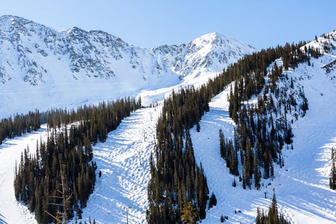
Main Line

A popular aread from the top of the road to the bottom with no hike required
Moderate Freeride Skiing
- Distance
- 668 m
- Ascent
- 0 m
- Descent
- 193 m
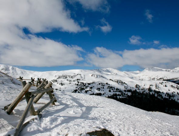
Sniktau Hike
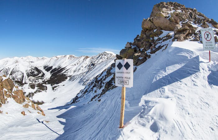
Freeride Skiing Severe

This is a popular freeride skiing route which is generally considered to be severe. It's extremely remote, it features unknown exposure and is typically done in an unknown time of year. From a low point of 3.7 km to the maximum altitude of 4 km, the route covers 3.2 km, 420 vertical metres of ascent and 247 vertical metres of descent.
Hike up Mt. Sniktau
Severe
Steep skiing at 38-45 degrees. This requires very good technique and the risk of falling has serious consequences.

In the high mountains or remote conditions, all individuals must be completely autonomous in every situation.
195 m away
A popular aread from the top of the road to the bottom with no hike required
Moderate Freeride Skiing
431 m away

Open powder field with some wind scoured exposure
Moderate Freeride Skiing
798 m away

short runs of chutes and trees
Difficult Freeride Skiing
981 m away

Picturesque open valley that is well worth the hike
Moderate Freeride Skiing
1.2 km away

Extremely steep cliff zones for the most experienced backcountry users
Severe Freeride Skiing
1.4 km away

Short bootpack to deep backcountry fresh lines
Difficult Freeride Skiing
3 km away

nice steep chute off the main Piste Trail Turbo
Severe Freeride Skiing
3.1 km away

Nice exposed rock chute hidden off Turbo
Severe Freeride Skiing
3.4 km away

Frequently accessed gladed run out of the resort gate
Moderate Freeride Skiing
3.5 km away

Steep tight trees
Difficult Freeride Skiing
12 routes · Freeride Skiing · Ski Touring
8 routes · Freeride Skiing
4 routes · Freeride Skiing · Resort Ski Touring