1 m away
Free Lunch -> Pucker Up Figure-8
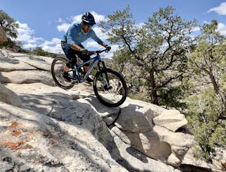
Hands-down the best double black diamond pedal ride in the Lunch Loops trail system.
Extreme Mountain Biking
- Distance
- 11 km
- Ascent
- 338 m
- Descent
- 338 m

A steep, exposed double black diamond descent from Lunch Loops' high point.
Mountain Biking Extreme

While Free Lunch reigns supreme as the crowd-favorite descent off the high point of the Lunch Loops Trail System, if you continue just past Free Lunch, you’ll discover another double black diamond trail named Eagle’s Wing. In comparison to Free Lunch, Eagle’s Wing isn’t as freeride oriented and is quite a bit more rideable… but that doesn’t mean it’s “easy!”
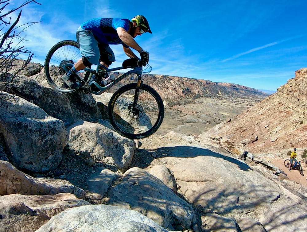
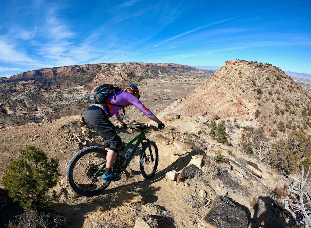
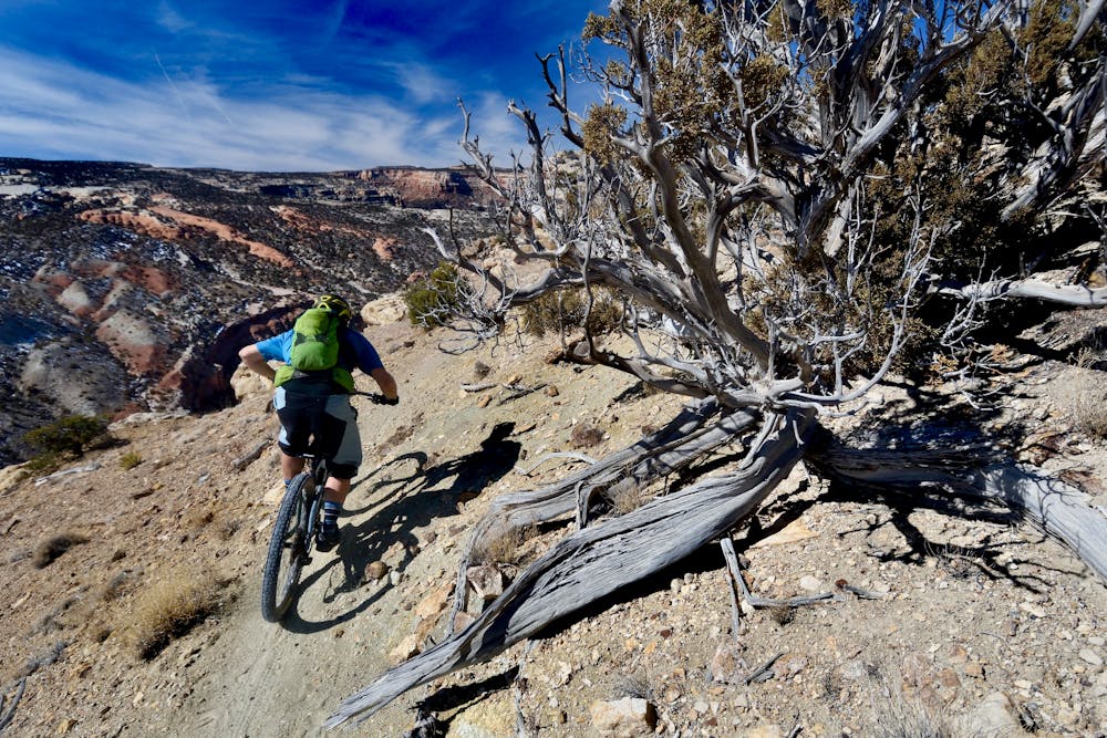
After climbing Pet-e-Kes and Tabeguache to reach Lunch Line, the ridgetop traverse serves up technical climbing and stunning views the entire way! The section of trail past Free Lunch to the top of the Eagle’s Wing descent is no exception, with narrow bench cut singletrack and gorgeous views of Colorado National Monument, the Ribbon, and more.
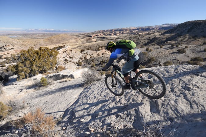
Once it’s time to descend, the trail gets burly real quick, dropping over ledges and boulders along an airy, exposed ridgeline. After twisting down the ridge for a few minutes, you’ll soon reach the crux move of the entire trail: a series of boulders, slabs, and switchbacks on an exposed knife-edge ridge with formidable fall danger! Despite the intimidating nature of this ridge, there’s a rollable line through all of the chunk… and there are a few big senders for the more aggressive riders.
After safely negotiating the knife-edge ridge, the trail turns away from the rim, and the exposure diminishes substantially. However, the trail gets—if anything—more technical, with several awkward notches that threaten to tear off your derailleur, plenty of ledge drop options, and chunder for days.
About halfway down the mountain, you have an option: either continue riding Eagle Tail all the way down or, if you so desire, you could also cut across on High Noon and Tabeguache and descend the perennial crowd-pleaser: Holy Cross. The choice is yours!
Extreme
Very steep, difficult, narrow singletrack with widely variable and unpredictable trail conditions. Unavoidable obstacles could be 15in/38cm tall or greater, and unavoidable obstacles with serious consequences are likely to be present. Obstacles could include big rocks, difficult root sections, drops, jumps, sharp switchbacks, and more. Ideal for expert-level riders.
1 m away

Hands-down the best double black diamond pedal ride in the Lunch Loops trail system.
Extreme Mountain Biking
1 m away

A perennial crowd pleaser that winds through beautiful rock formations.
Severe Mountain Biking
1 m away

While easily accessible from the town of Grand Junction, the Lunch Loops provide rocky, technical singletrack to challenge even the best of mountain bikers.
Severe Mountain Biking
68 m away
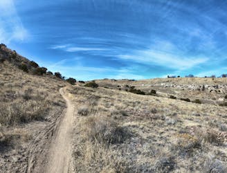
A short beginner-friendly ride through the Lunch Loops Trail System.
Moderate Mountain Biking
68 m away

The easiest trails at the Lunch Loops.
Easy Mountain Biking
6.9 km away
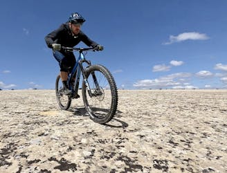
The shortest version of this iconic shuttle run.
Extreme Mountain Biking
6.9 km away
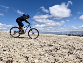
One of the fastest, rowdiest, point-to-point shuttles anywhere, with wide-open rock slab riding, uber-technical rock gardens, and big jump and drop options--experts only!
Extreme Mountain Biking
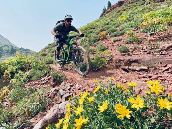
25 routes · Mountain Biking
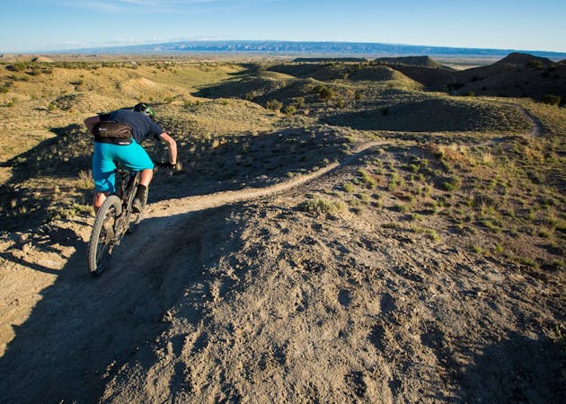
12 routes · Mountain Biking
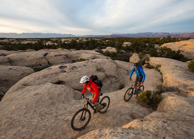
37 routes · Mountain Biking
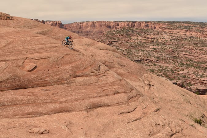
25 routes · Mountain Biking
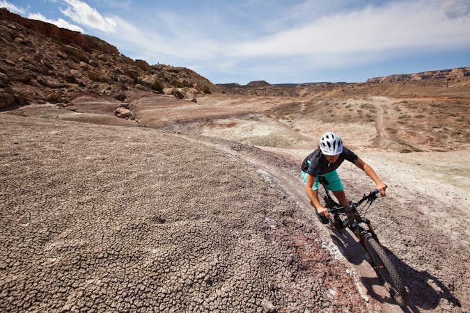
11 routes · Mountain Biking
4 routes · Mountain Biking
7 routes · Mountain Biking
10 routes · Mountain Biking
8 routes · Mountain Biking