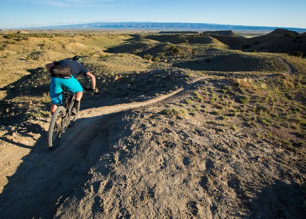
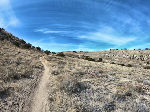
Lunch Loops Beginner Ride

The easiest trails at the Lunch Loops.
Easy Mountain Biking
- Distance
- 3.1 km
- Ascent
- 43 m
- Descent
- 40 m

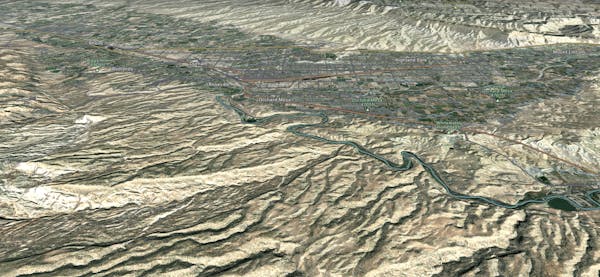
Explore Grand Junction with curated guides of the best mountain bike trails, and more. With over 14 3D trail maps in FATMAP, you can easily discover and navigate the best trails in Grand Junction.
No matter what your next adventure has in store, you can find a guide on FATMAP to help you plan your next epic trip.
Get a top trail recommendation in Grand Junction from one of our 12 guidebooks, or get inspired by the 14 local adventures uploaded by the FATMAP community. Start exploring now!
The easiest trails at the Lunch Loops.
Easy Mountain Biking

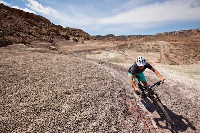
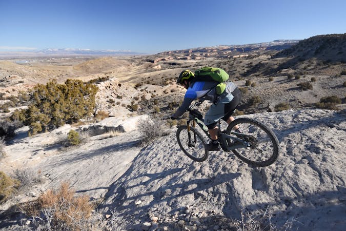
A perennial crowd pleaser that winds through beautiful rock formations.
Severe Mountain Biking

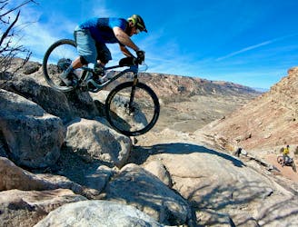
Hands-down the best double black diamond pedal ride in the Lunch Loops trail system.
Extreme Mountain Biking

The shortest version of this iconic shuttle run.
Extreme Mountain Biking
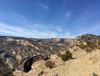
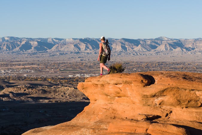
A stunning, easily-accessible run to the Lunch Loops high point.
Difficult Trail Running
A stunning, easily-accessible hike to the Lunch Loops high point.
Severe Hiking
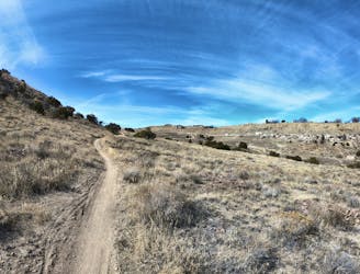
A short beginner-friendly ride through the Lunch Loops Trail System.
Moderate Mountain Biking
A steep, exposed double black diamond descent from Lunch Loops' high point.
Extreme Mountain Biking
6 routes · Hiking

25 routes · Mountain Biking
12 routes · Mountain Biking

37 routes · Mountain Biking

25 routes · Mountain Biking
11 routes · Mountain Biking
4 routes · Mountain Biking
7 routes · Mountain Biking