2 km away
Snodgrass
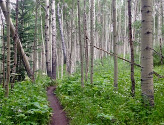
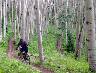
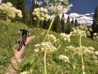
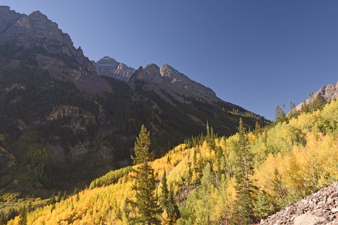
Flowy black dirt winds its way through an aspen grove at the base of Snodgrass Mountain.
Moderate Mountain Biking
- Distance
- 9.2 km
- Ascent
- 258 m
- Descent
- 258 m
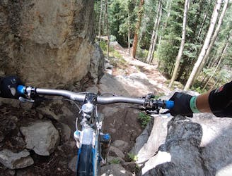
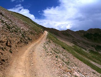
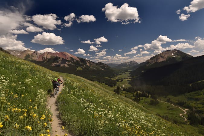
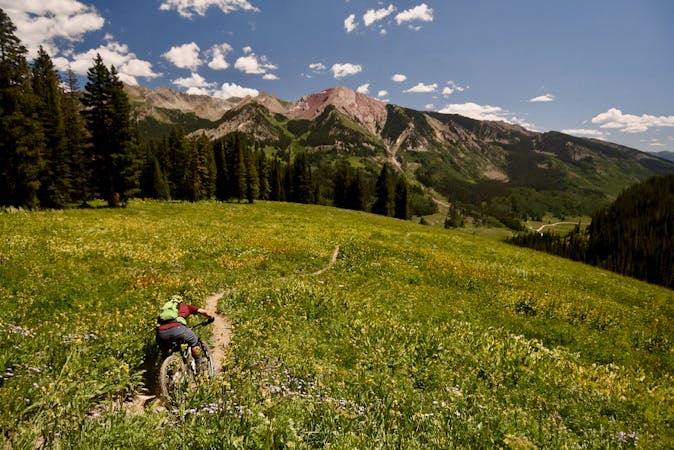
First singletrack descent off the Lupine Trail.
Mountain Biking Moderate

This is a popular mountain biking route which is generally considered to be moderate. It's an unknown remoteness, it features unknown exposure and is typically done in an unknown time of year. From a low point of 2.7 km to the maximum altitude of 2.8 km, the route covers 1.8 km, 15 vertical metres of ascent and 116 vertical metres of descent.
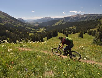
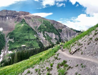
This is the first singletrack descent option off of the Lupine Trail. However, it doesn't form the best loop option, so it doesn't get quite as much traffic as the other Lupine descents.
Moderate
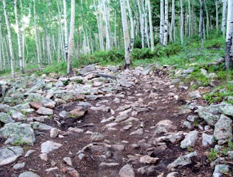
Mostly stable trail tread with some variability, with unavoidable obstacles 8in/20cm tall or less. Other obstacles such as rock gullies and steep sections may exist. Ideal for lower intermediate riders.
2 km away
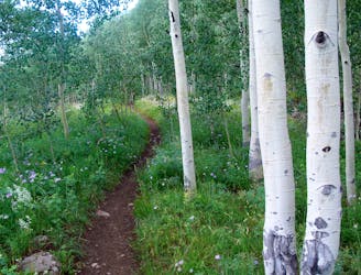
Flowy black dirt winds its way through an aspen grove at the base of Snodgrass Mountain.
Moderate Mountain Biking
2 km away
A long climb leads to one of Crested Butte's rowdiest descents!
Severe Mountain Biking
2 km away
A beautiful high-alpine trail connected into a mega loop.
Severe Mountain Biking
3.2 km away
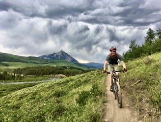
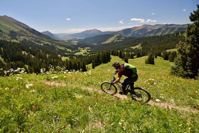
A grueling cross country trail that rewards the rider with beautiful wild flowers and stunning views.
Difficult Mountain Biking
4.2 km away
A new school tech line that serves as a superb alternate while shredding an Avery lap.
Severe Mountain Biking
4.3 km away
While the Lower Loop may be the easiest singletrack trail in Crested Butte, the flow is sweet and the scenery is unreal!
Easy Mountain Biking
4.3 km away
A rewarding loop from downtown Crested Butte with flowy singletrack and beautiful views.
Moderate Mountain Biking
4.4 km away
Despite being easily-accessible, Upper Loop can be a punishing ride.
Severe Mountain Biking
4.4 km away
The iconic 4x4 road ride the helped launch the sport of mountain biking.
Difficult Mountain Biking
4.4 km away
Crested Butte's newest trail is an instant classic!
Difficult Mountain Biking
12 routes · Mountain Biking

25 routes · Mountain Biking
12 routes · Mountain Biking
6 routes · Mountain Biking

6 routes · Mountain Biking
3 routes · Mountain Biking · Hiking · Trail Running
10 routes · Mountain Biking