1.4 km away
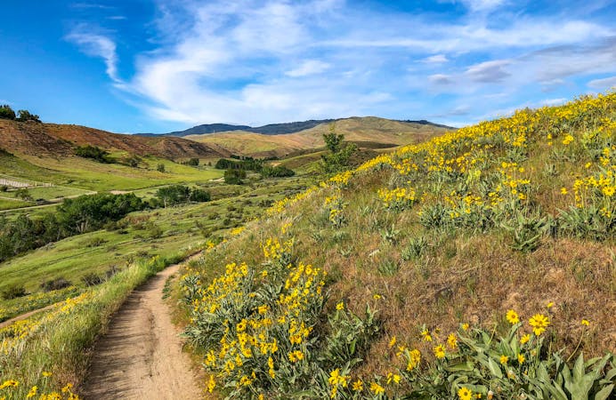
Hulls Gulch and Kestrel Loop
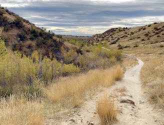
Efficient climb up Hulls Gulch and a scenic return on Crestline and Kestrel Trails.
Moderate Trail Running
- Distance
- 8.5 km
- Ascent
- 213 m
- Descent
- 213 m
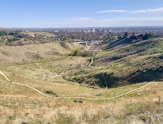
One option for a short trail run near Camel's Back.
Trail Running Easy

Boise's numerous urban trailheads grant lots of opportunities for quick trail runs from the city. This is one of them, beginning from Camel's Back in North End. The loop mapped here takes Owl's Roost trail through The Grove, then connects via Hulls Gulch trailhead to Chickadee Ridge. The loop offers an easy warmup and shade near the beginning, then a steeper section and good views on the ridge. This is only one of many possibilities on the interconnected trails here. Consider adding a hill climb on Camel's Back, or an extension to the loop on Kestrel and Red Cliffs trails.
Easy

The path is on completely flat land and potential injury is limited to falling over.
Close to help in case of emergency.
1.4 km away
Efficient climb up Hulls Gulch and a scenic return on Crestline and Kestrel Trails.
Moderate Trail Running
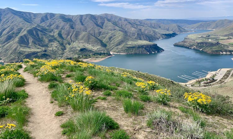
2.2 km away

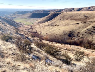
A scenic workout in Boise's Military Reserve park.
Moderate Trail Running
3.6 km away
One idea for a hilly training loop in Hillside to Hollow Reserve.
Moderate Trail Running
4 km away
One of Boise's best local trail run loops.
Moderate Trail Running
5.3 km away

Singletrack loop in the hills, convenient to Boise and Meridian.
Moderate Trail Running
9.8 km away
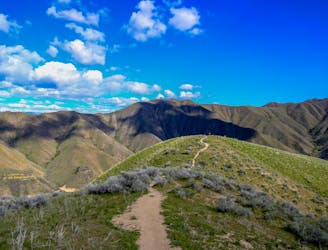
Stout run or long hike to the top of a Boise local mountain.
Difficult Trail Running
10 routes · Trail Running
8 routes · Hiking · Trail Running