116 m away
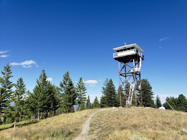
Stuart Peak
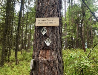
Experience the epic Rattlesnake Wilderness Area and climb one of its most prominent peaks
Difficult Hiking
- Distance
- 34 km
- Ascent
- 1.6 km
- Descent
- 1.6 km
A long journey into one of the state's finest wilderness area
Hiking Moderate

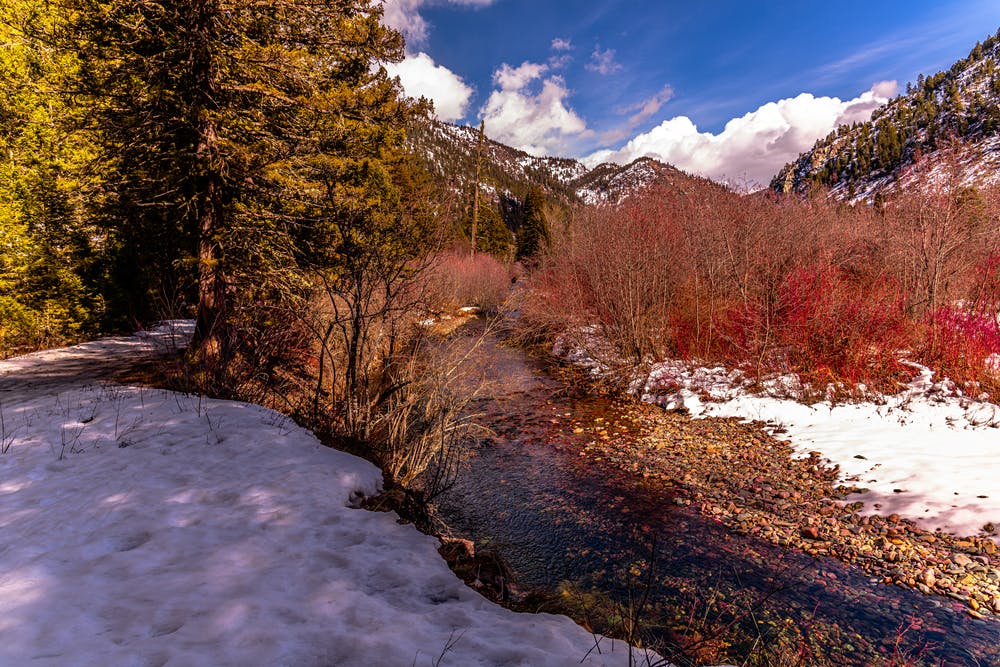
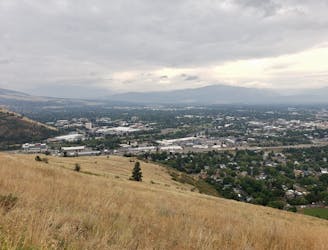
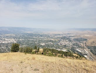
Just to the north of Missoula is the Rattlesnake Wilderness area, a vast expanse of mountains, forests and barren valleys which are full of potential adventures.
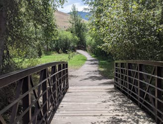
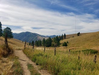
The area is easily accessed from Missoula, but the trips within it are anything but easy! One classic is the trip up Stuart Peak, and you can also get a taste for the area (but not actually enter the official wilderness area) by biking the classic Full Fenceline ride.
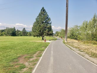
The journey up the Rattlesnake Trail is technically easy, but it's a long and wild trip. It can be done either on foot or bike, but the fact that it goes up a gravel road and is never steep means that it's easier on the latter.
We've drawn it as a one way route because at the end of it there are so many options that we're reluctant to specify just one. It's safe to say that once you reach the end of the line drawn here you are in truly wild country, and surrounded by a lifetime's worth of adventures!
Moderate
Hiking along trails with some uneven terrain and small hills. Small rocks and roots may be present.

The path is on completely flat land and potential injury is limited to falling over.

Little chance of being seen or helped in case of an accident.
116 m away
Experience the epic Rattlesnake Wilderness Area and climb one of its most prominent peaks
Difficult Hiking
5.4 km away
Get a stress-free fix of nature on the edge of Missoula
Easy Hiking
5.7 km away
Escape the city and enjoy some huge views
Moderate Hiking
6.2 km away
Short and sharp!
Moderate Hiking
6.2 km away

Hike a prominent summit and enjoy some peaceful forests
Difficult Hiking
6.6 km away
Explore the sights of downtown Missoula on this easy stroll
Easy Hiking
7.1 km away

The classic Missoula hike to a local landmark
Difficult Hiking
7.1 km away
A tough climb up one of Missoula's best known peaks
Difficult Hiking
5 routes · Hiking

10 routes · Hiking