5.6 km away
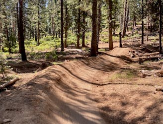
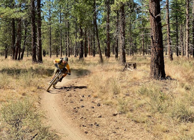
Tyler's Traverse Shuttle
A fast, flowy shuttle run on the southern end of the Bend trail system.
Moderate Mountain Biking
- Distance
- 24 km
- Ascent
- 262 m
- Descent
- 666 m
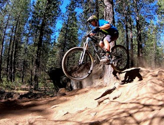
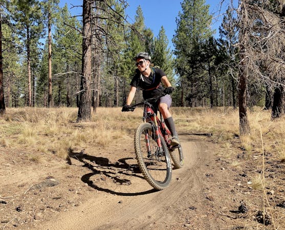
Black diamond descent.
Mountain Biking Severe

This is a popular mountain biking route which is generally considered to be severe. It's an unknown remoteness, it features unknown exposure and is typically done in an unknown time of year. From a low point of 1.5 km to the maximum altitude of 1.6 km, the route covers 2.3 km, 0 vertical metres of ascent and 143 vertical metres of descent.
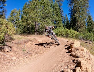
Black diamond descent option off of Tyler's Traverse.
Severe
Widely variable, narrow trail tread with steeper grades and unavoidable obstacles of 15in/38cm tall or less. Obstacles may include unavoidable bridges 24in/61cm wide or less, large rocks, gravel, difficult root sections, and more. Ideal for advanced-level riders.
5.6 km away
A fast, flowy shuttle run on the southern end of the Bend trail system.
Moderate Mountain Biking
5.6 km away
Bend's classic enduro stage.
Severe Mountain Biking
6.2 km away
A feature-rich loop ride removed from the business of the Phil's Trailhead.
Difficult Mountain Biking
7.8 km away
One of the most rewarding mountain bike rides in Bend!
Difficult Mountain Biking
10 km away
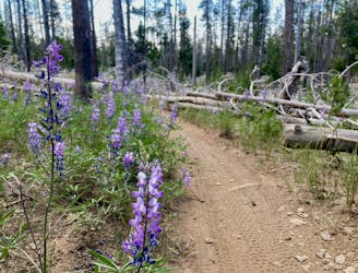
A highly-trafficked but ultra-scenic beginners ride.
Easy Mountain Biking
7 routes · Mountain Biking
3 routes · Mountain Biking
4 routes · Mountain Biking · Hiking

20 routes · Mountain Biking

15 routes · Mountain Biking