3.1 km away
Old Growth / Benson & Hedges

Old Growth chute is a mini classic that provides great rock wall lined ambience and easy access.
Difficult Ski Touring
- Distance
- 580 m
- Ascent
- 0 m
- Descent
- 364 m
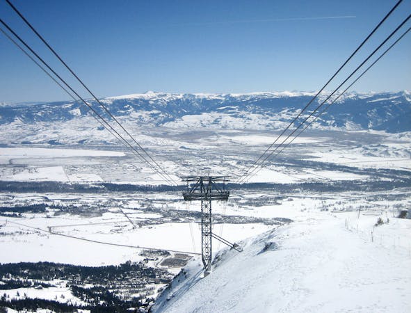
The most popular backcountry ski area in the state
Ski Touring Moderate

This is a popular ski touring route which is generally considered to be moderate. It's very remote, it features medium exposure (e2) and is typically done in an unknown time of year. From a low point of 2.8 km to the maximum altitude of 2.9 km, the route covers 686 m, 127 vertical metres of ascent and 1 vertical metres of descent. You'll need skins to complete it safely.
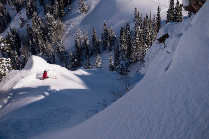
This is a very popular backcountry area. Skin up the summer road and back to twin lakes pass. You will see lots of mini bowls and great tree skiing. Be very mindful of people below you, and avoid the obvious terrain traps.
Moderate
Slopes become slightly steeper at around 25-30 degrees.

As well as the slope itself, there are some obstacles (such as rock outcrops) which could aggravate injury.

Little chance of being seen or helped in case of an accident.
3.1 km away
Old Growth chute is a mini classic that provides great rock wall lined ambience and easy access.
Difficult Ski Touring
3.4 km away

Access from Brighton to backcountry zones like Patsy Marley and Wolverine Cirque.
Moderate Ski Touring
3.4 km away

Virginia Slims is the fun dogleg chute next to the more popular Old Growth chute in the lower reaches of Cardiff Fork.
Difficult Ski Touring
5.2 km away

A big fun run off of Kessler Peak with some great chute and trees skiing involved.
Difficult Ski Touring
5.4 km away

This is the huge avalanche path that's visible from the road on the N slope of Kessler Peak.
Difficult Ski Touring
5.5 km away

Scotty's is a classic north facing roadside attraction in upper Little Cottonwood Canyon.
Difficult Ski Touring
9 km away

Stairs Gulch is 4,000 feet long, serious with a combination of a steep, technical chute and a flat, more mellow finish.
Difficult Ski Touring
9.6 km away

Probably the longest, most consistent rock-lined chute in the Wasatch if you're into that sort of thing.
Severe Ski Touring

18 routes · Resort Ski Touring · Ski Touring
8 routes · Freeride Skiing · Ski Touring
9 routes · Resort Ski Touring · Ski Touring