4 km away
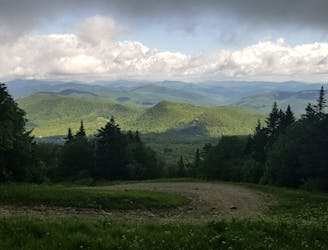
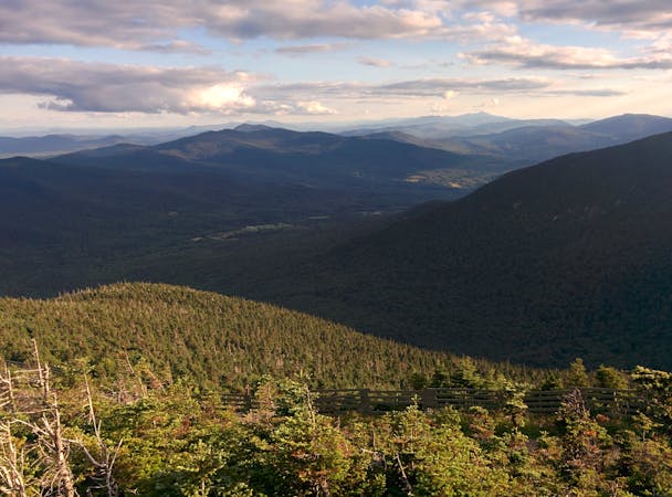
Deer Leap Rock
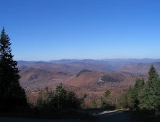
A short, family-friendly hike to a popular overlook near Killington.
Moderate Hiking
- Distance
- 3 km
- Ascent
- 173 m
- Descent
- 173 m
Thundering Falls Trail - Vermont VT
Hiking Easy

Easy walk to do with family and dogs.
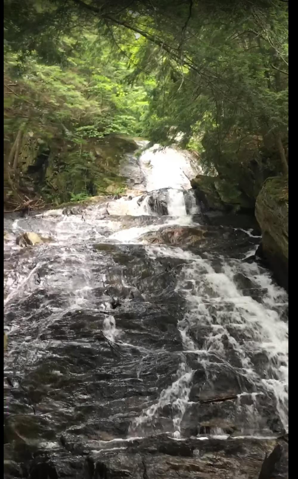
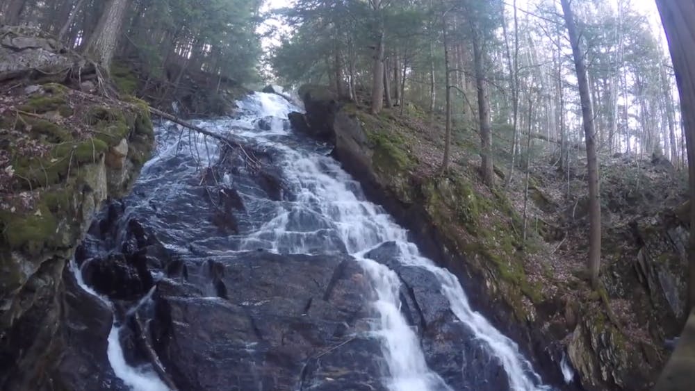
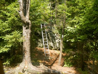
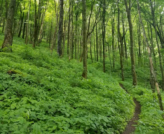
From the Appalachian Trail: From the River Road parking area, the Appalachian Trail passes through the open floodplain of the Ottauquechee River and crosses the Thundering Falls boardwalk. The trail then climbs to the fall observation platform. From here, the Appalachian Trail continues its ascent through the northern wood forest to Thundering Brook Road, where a small parking lot can be found.
Description: It starts from the intersection of Route 100 in Vermont and Route 4 in Killington, 2 miles east to a junction with River Road on the left. From there, drive 1.5 km to an accessible car park on the left. Thundering Falls offers the first universally accessible portion of the Appalachian Trail (AT) in Vermont. From the start the rest is pretty easy, just follow the trail and you should get there without any hazards.
Easy
Walking along a well-kept trail that’s mostly flat. No obstacles are present.

The path is on completely flat land and potential injury is limited to falling over.
Close to help in case of emergency.
4 km away
A short, family-friendly hike to a popular overlook near Killington.
Moderate Hiking
4 km away
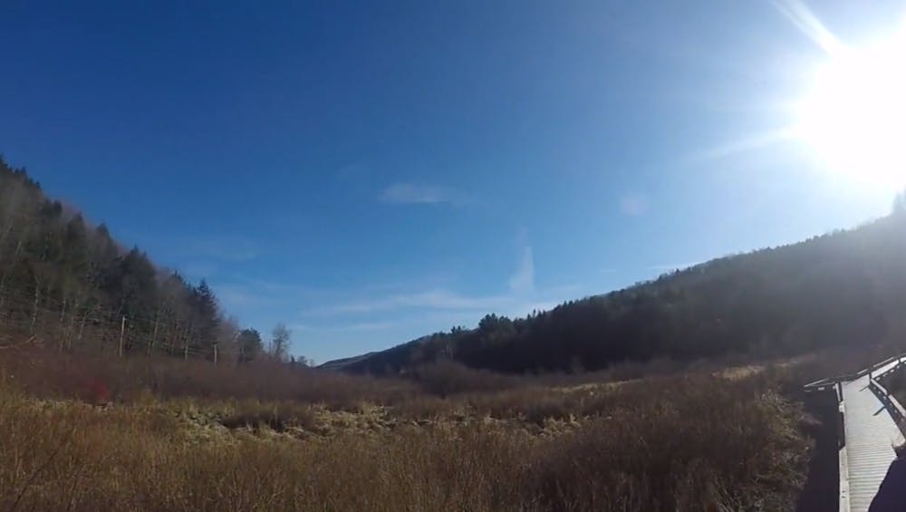
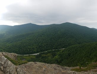
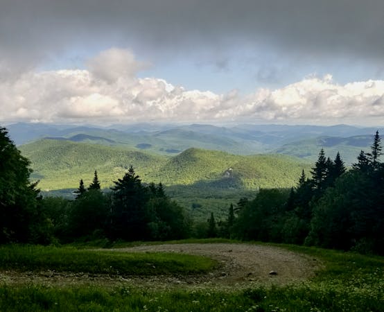
A beautiful loop around Pico Mountain to run, hike, or spend the night.
Severe Hiking
5.2 km away
A easily shuttled stretch of the AT, connecting Killington Mountain to the Connecticut River.
Difficult Hiking
5.2 km away
After departing from the AT, the Long Trail begins a grueling traverse across multiple high ridges and through a remote wilderness area.
Difficult Hiking
7.1 km away

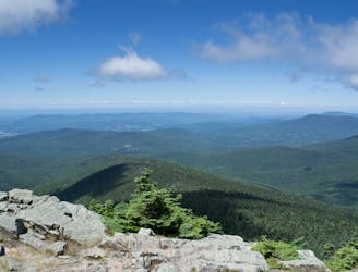
A classic summer hike between Rutland and Killington with epic views and a waterfall.
Moderate Hiking
9.8 km away
An approach trail up the west side of Killington Mountain.
Difficult Hiking

58 routes · Hiking
9 routes · Hiking
5 routes · Hiking
5 routes · Mountain Biking · Hiking · Trail Running