19 m away
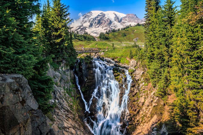
Myrtle Falls
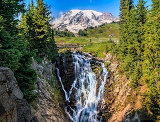
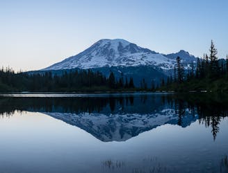
Reach a stunning view of Myrtle Falls framed by Mount Rainier.
Easy Hiking
- Distance
- 1.5 km
- Ascent
- 51 m
- Descent
- 51 m
Where to find ice worms on paradise glacier.
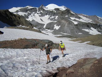
Hiking Moderate

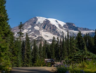
This is a popular hiking route which is generally considered to be moderate. It's not remote, it features medium exposure and is typically done between June and August. From a low point of 1.7 km to the maximum altitude of 2.3 km, the route covers 4.1 km, 671 vertical metres of ascent and 0 vertical metres of descent.
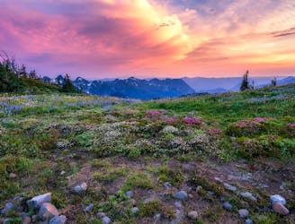
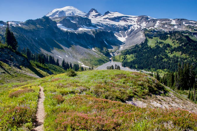
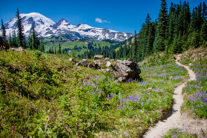
Amazing views of Rainier, beautiful waterfalls, and wildflowers (in mid-late summer)
Moderate
Hiking along trails with some uneven terrain and small hills. Small rocks and roots may be present.

The trail contains some obstacles such as outcroppings and rock which could cause injury.

Close to help in case of emergency.
19 m away
Reach a stunning view of Myrtle Falls framed by Mount Rainier.
Easy Hiking
21 m away
One of the most beautiful hikes in Washington State!
Moderate Hiking
461 m away
An easy paved hike to a stunning overlook of a glacier-carved valley.
Easy Hiking
1.5 km away
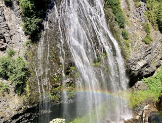
Hike down to a beautiful vista of this 168-foot waterfall.
Moderate Hiking
2 km away
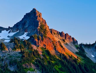
A steep hike and scramble to the summit of Pinnacle Peak.
Extreme Hiking
3 km away
Enjoy a high effort-to-view ratio on this beautiful hike to two alpine lakes.
Moderate Hiking
7.1 km away
A 93 mile (150 kilometer) hiking trail that circumnavigates Mount Rainier, one of North America's most iconic peaks.
Difficult Hiking
8 km away
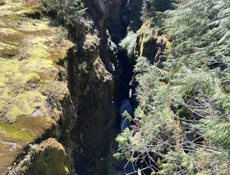
This narrow slot canyon is 180 feet deep, with a rushing river at the bottom!
Easy Hiking

6 routes · Hiking
10 routes · Hiking
5 routes · Hiking
5 routes · Hiking
3 routes · Hiking
8 routes · Hiking

19 routes · Hiking