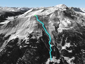
East Dorfbach

Wide freeride from Höhenweg to Davos
Difficult Freeride Skiing
- Distance
- 1.6 km
- Ascent
- 0 m
- Descent
- 586 m
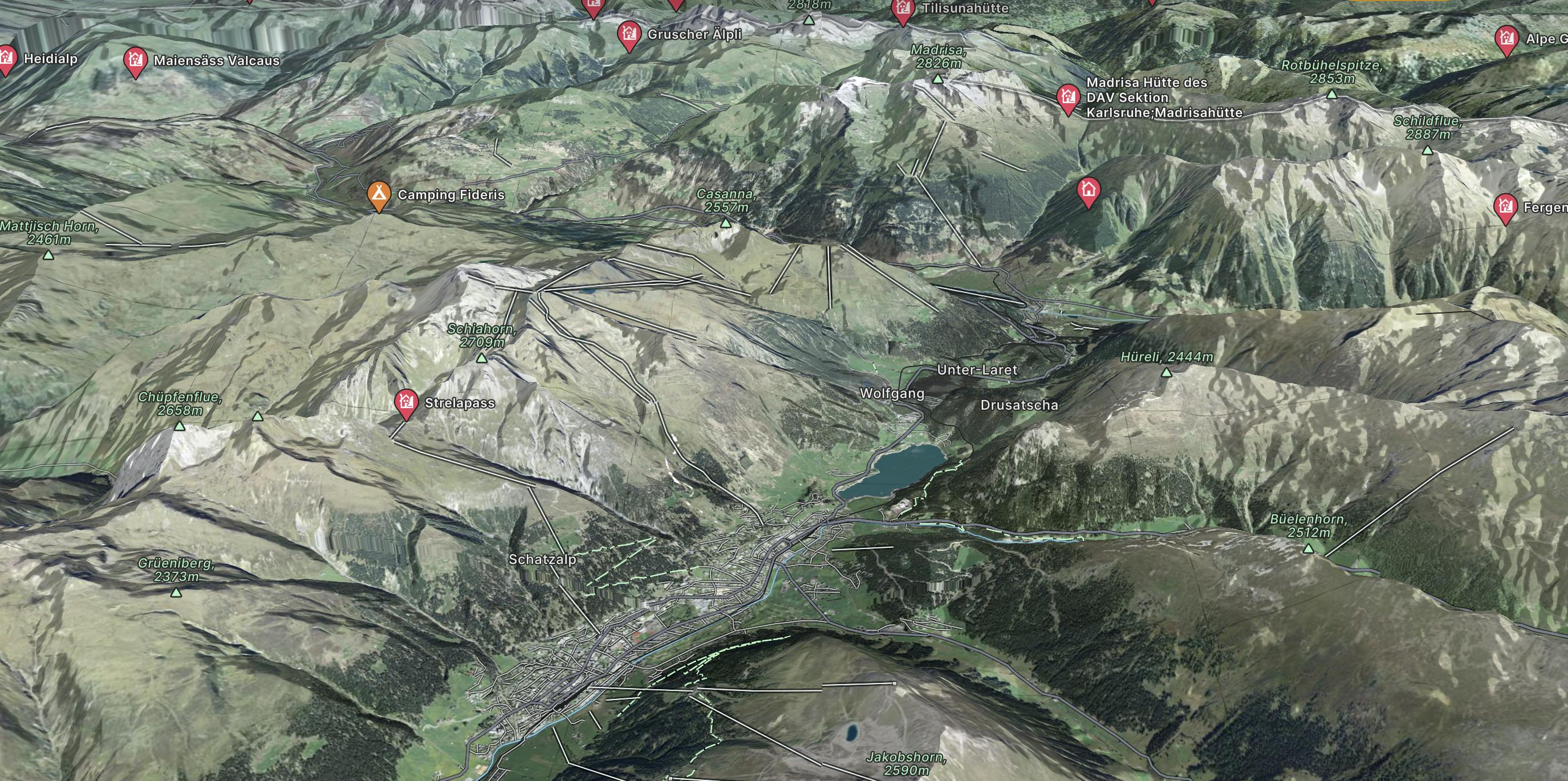
The Davos and Klosters regions consists of over 200 miles of skiing and is made up of Parsenn, Jakobshorn, Rinerhorn, Pischa, Gotschna and Madrisa.
Explore Davos Klosters with curated guides of the best ski routes, and more. With over 49 3D trail maps in FATMAP, you can easily discover and navigate the best trails in Davos Klosters.
No matter what your next adventure has in store, you can find a guide on FATMAP to help you plan your next epic trip.
Get a top trail recommendation in Davos Klosters from one of our 3 guidebooks, or get inspired by the 49 local adventures uploaded by the FATMAP community. Start exploring now!
Wide freeride from Höhenweg to Davos
Difficult Freeride Skiing

Great off piste area with easy acces at Höhenweg area
Difficult Freeride Skiing

Long run from Höhenweg to Davos
Difficult Freeride Skiing

Backcountry route for experienced riders
Severe Freeride Skiing

Wide steep slope on the Gotschnagrat NW face.
Severe Freeride Skiing

Wide freeride slope from Seetäli to Obersäas valley
Difficult Freeride Skiing

Great steep SE slope from the top of Parsennfurgga with easy access
Severe Freeride Skiing

Easy acces freeride area for intermediate riders
Moderate Freeride Skiing
Long freeride line from alpine to forest terrain for advanced skiers
Severe Freeride Skiing

Rocky steep couloirs at Jakobshorn S face
Severe Freeride Skiing

Scenic route for advanced backcountry riders.
Difficult Freeride Skiing

Backcountry route for experienced riders
Difficult Freeride Skiing

Extreme freeride area for experienced riders
Extreme Freeride Skiing

Open terrain freeride area
Difficult Freeride Skiing

Techy pillow line through the forest
Difficult Freeride Skiing

Long backcountry experience to Sertig Valley
Difficult Freeride Skiing