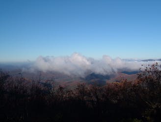
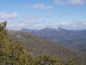
Mount Yonah
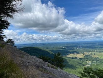
Hike to a stunning overlook of North Georgia from Mount Yonah's vaulted granite cliffs.
Difficult Hiking
- Distance
- 6.8 km
- Ascent
- 463 m
- Descent
- 463 m
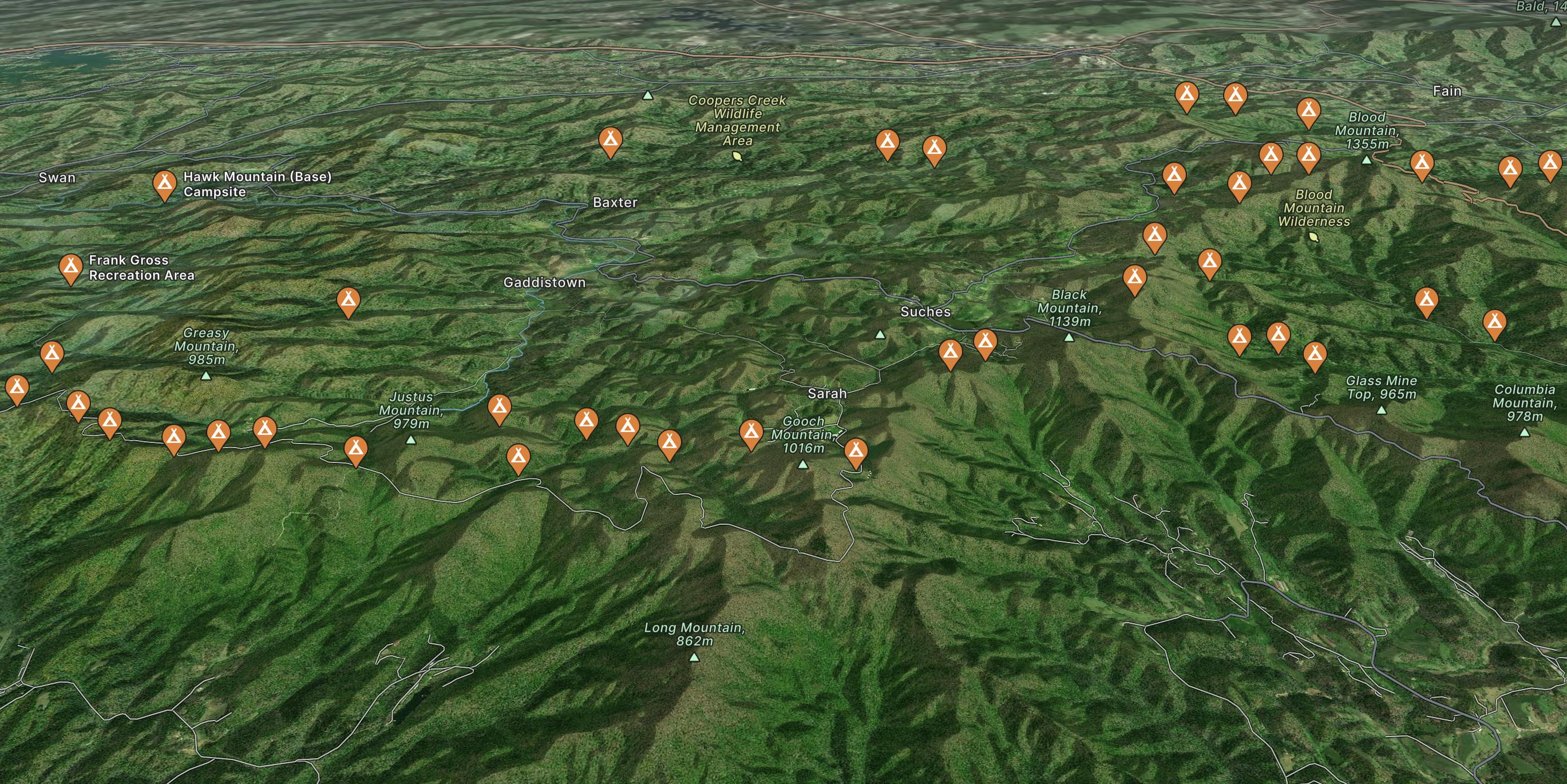
Go hiking in Dahlonega with curated guides of the best hikes across the region. With over 32 3D trail maps in FATMAP, you can easily discover and navigate the best trails in Dahlonega.
No matter what your next adventure has in store, you can find a guide on FATMAP to help you plan your next epic trip.
Get a top hiking trail recommendation in Dahlonega from one of our 8 guidebooks, or get inspired by the 32 local adventures uploaded by the FATMAP community. Start exploring now!
Hike to a stunning overlook of North Georgia from Mount Yonah's vaulted granite cliffs.
Difficult Hiking

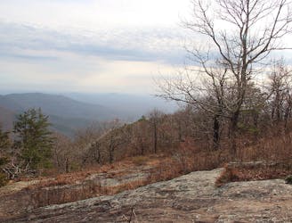
The most-hiked section of the Appalachian Trail in Georgia, thanks to an epic summit view!
Difficult Hiking
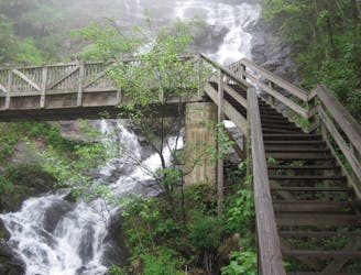
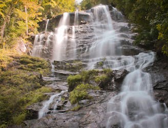
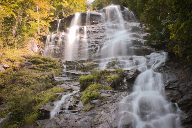
A loop pairing the AT Approach Trail and East Ridge Trail to Georgia's tallest waterfall.
Difficult Hiking
A day hike at Springer Mountain pairing two iconic thru-hiking trails.
Moderate Hiking
The 8-mile approach to the southern terminus of the Appalachian Trail.
Difficult Hiking
Named for the creator of the Appalachian Trail, this lesser-known alternative route through the Southern Appalachians links scenery that's just as wild.
Difficult Hiking
An AT segment through remote North Georgia Wilderness.
Difficult Hiking
The southern terminus for the world-renowned Appalachian Trail.
Difficult Hiking

58 routes · Hiking
10 routes · Hiking
11 routes · Hiking · Trail Running

10 routes · Hiking