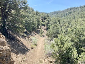
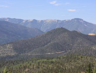
Rift Valley Loop

Flowy trails with fantastic views!
Easy Trail Running
- Distance
- 20 km
- Ascent
- 260 m
- Descent
- 260 m

Explore New Mexico with curated guides of the best hiking trails, mountain bike trails, trail running routes, ski routes, and more. With over 208 3D trail maps in FATMAP, you can easily discover and navigate the best trails in New Mexico.
No matter what your next adventure has in store, you can find a guide on FATMAP to help you plan your next epic trip.
Get a top trail recommendation in New Mexico from one of our 28 guidebooks, or get inspired by the 208 local adventures uploaded by the FATMAP community. Start exploring now!
Flowy trails with fantastic views!
Easy Trail Running
Run to the top of South Boundary's final rowdy descent.
Difficult Trail Running

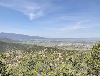
Steep climb to beautiful views of the Sangres.
Difficult Trail Running
A scenic, accessible peak climb close to Taos
Difficult Trail Running
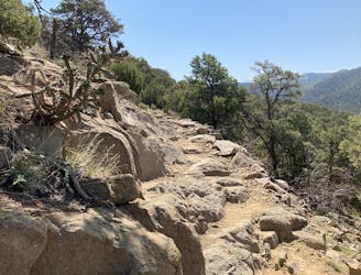
If you're looking for a beat down without even leaving the foothills of Taos, look no further than the so-called Taos Vortex route.
Difficult Trail Running

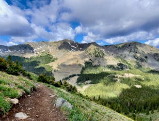
A beautiful above-alpine peak in the Sangres.
Easy Alpine Climbing
A beautiful above-alpine peak in the Sangres.
Difficult Hiking

A non-technical but steep climb to Lobo Peak
Difficult Hiking
A non-technical but steep climb to Lobo Peak
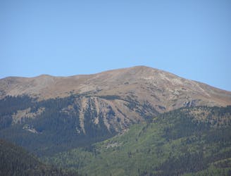
Easy Alpine Climbing

The most direct route to New Mexico's 13,161-foot high point.
Easy Alpine Climbing
The most direct route to New Mexico's 13,161-foot high point.
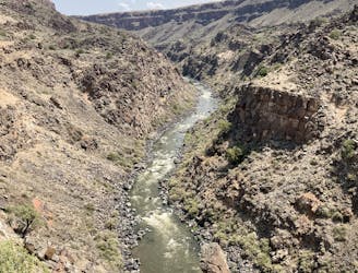
Severe Hiking
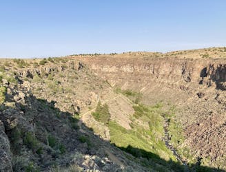
Enjoy stunning views of the Rio Grande Gorge!
Easy Hiking
The most popular trail in Taos Ski Valley—but for good reason!
Moderate Hiking

Steep climb to beautiful views of the Sangres.
Difficult Hiking
An easy hike to stunning views of the Rio Grande.
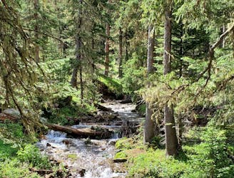
Moderate Hiking
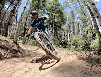
An epic loop ride from downtown Angel Fire.
Difficult Mountain Biking