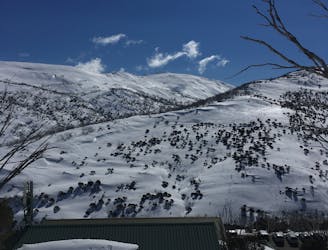
Carruthers by Le Bent
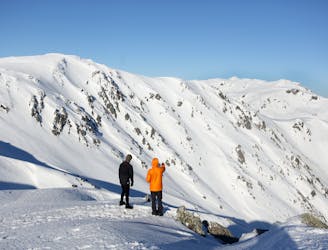
Our favourite burly line down the guts of Carruthers with optional cliff drops.
Severe Freeride Skiing
- Distance
- 736 m
- Ascent
- 0 m
- Descent
- 371 m
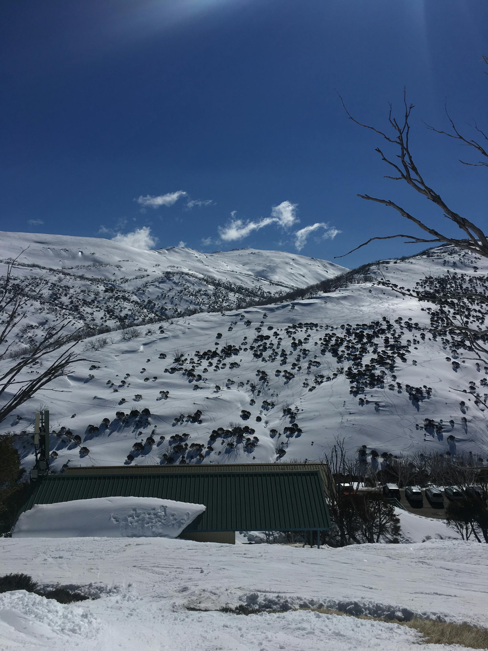
Explore New South Wales with curated guides of the best hiking trails, trail running routes, ski routes, and more. With over 131 3D trail maps in FATMAP, you can easily discover and navigate the best trails in New South Wales.
No matter what your next adventure has in store, you can find a guide on FATMAP to help you plan your next epic trip.
Get a top trail recommendation in New South Wales from one of our 6 guidebooks, or get inspired by the 131 local adventures uploaded by the FATMAP community. Start exploring now!
Our favourite burly line down the guts of Carruthers with optional cliff drops.
Severe Freeride Skiing

Snowshoe trail beside the groomed XC trail
Easy Snow Shoeing
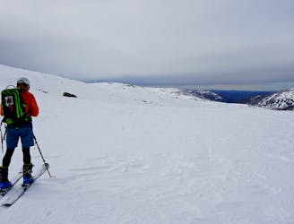
Blue Lake ski touring trip
Moderate Ski Touring
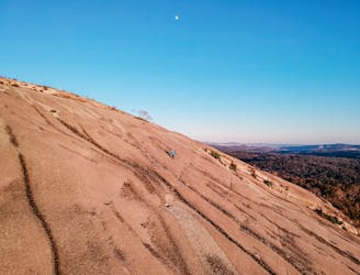
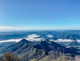
Bald Rock National Park
Moderate Hiking
Summit hike
Moderate Hiking

Tree skiing line towards Fake Falls creek
Moderate Freeride Skiing

Nice scenic tour from Gugthea Dam via the Trig
Moderate Ski Touring

Open bowl into tree section
Moderate Freeride Skiing

Open bowl smaller line
Difficult Freeride Skiing

A quick line towards Fake Falls Creek
Moderate Freeride Skiing

Open line down the ridge
Moderate Freeride Skiing

A creek line run with sections of tree skiing
Moderate Freeride Skiing

Access back to Guthega Dam
Easy Ski Touring
Winter access to Guthega Trig
Moderate Ski Touring

A grueling a demanding 4 day/3 night hike that dips into the most glorious sections of the Royal and Heathcote National Parks
Difficult Hiking
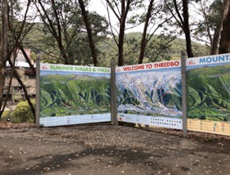
This loop follows Merritt's Nature Trail up out of the valley, traverses the Rams Head Range via the Dead Horse Gap Trail, and then follows the Thredbo River Walk back to Thredbo Village.
Moderate Hiking