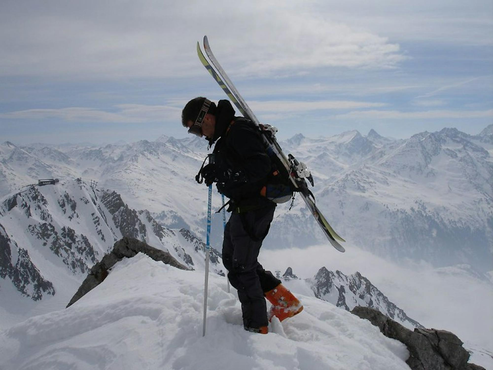
Hasenfluh

A good run for dry powder in the Zurs front country.
Moderate Freeride Skiing
- Distance
- 1.6 km
- Ascent
- 7 m
- Descent
- 414 m
Explore Vorarlberg with curated guides of the best hiking trails, trail running routes, ski routes, and more. With over 69 3D trail maps in FATMAP, you can easily discover and navigate the best trails in Vorarlberg.
No matter what your next adventure has in store, you can find a guide on FATMAP to help you plan your next epic trip.
Get a top trail recommendation in Vorarlberg from one of our 3 guidebooks, or get inspired by the 69 local adventures uploaded by the FATMAP community. Start exploring now!
A good run for dry powder in the Zurs front country.
Moderate Freeride Skiing

Superb long run with often deep powder.
Difficult Freeride Skiing

An enjoyable south facing run over St.Christoph.
Moderate Freeride Skiing

A nice moderate run with options of steep terrain and small trees. Possible in poorer visibility.
Moderate Freeride Skiing

A superb wide open run with great views. A classic Zurs freeride.
Difficult Freeride Skiing

Wide slopes and not too challeging in the Zurs front country.
Easy Freeride Skiing

An Arlberg classic run for experienced skiers and riders.
Difficult Freeride Skiing

Challenging terrain for the experienced on leeside slopes.
Severe Freeride Skiing

A nice moderate open run down to Zurs-worth the traverse.
Moderate Freeride Skiing

A great run in powder and spring snow.
Difficult Freeride Skiing

A great Zurs freeride run for experienced skiers and riders.
Difficult Freeride Skiing

Muttjochle from Kristbergbahn and back
Easy Hiking

Hut-to-hut backpacking route around Ratikon Alps in 4 days
Moderate Hiking

Trainingslauf Trailrunning
Severe Trail Running

Alpenhütten-Gratweg-Bergpanorama
Difficult Trail Running

Obere Eggstr-Auweg-Obere Walmendinger Alpe-Walmendinger Horn-Höhenweg-Schöntalweg-Schwarzwasserbach-Auweg-Karolienweg-Mahdtalweg-Obere Eggstr
Severe Trail Running