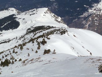
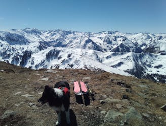
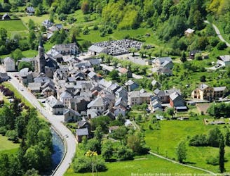
Caraybat - Pic de l'Aspre (Circular)
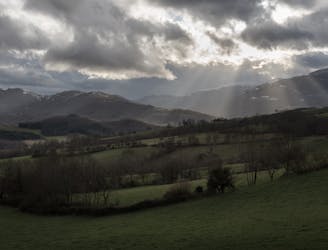
Modest but pretty Massif de Plantaurel discovery
Moderate Hiking
- Distance
- 9.9 km
- Ascent
- 520 m
- Descent
- 520 m
Explore Ariège with curated guides of the best hiking trails, and more. With over 29 3D trail maps in FATMAP, you can easily discover and navigate the best trails in Ariège.
No matter what your next adventure has in store, you can find a guide on FATMAP to help you plan your next epic trip.
Get a top trail recommendation in Ariège, or get inspired by the 29 local adventures uploaded by the FATMAP community. Start exploring now!
Modest but pretty Massif de Plantaurel discovery
Moderate Hiking
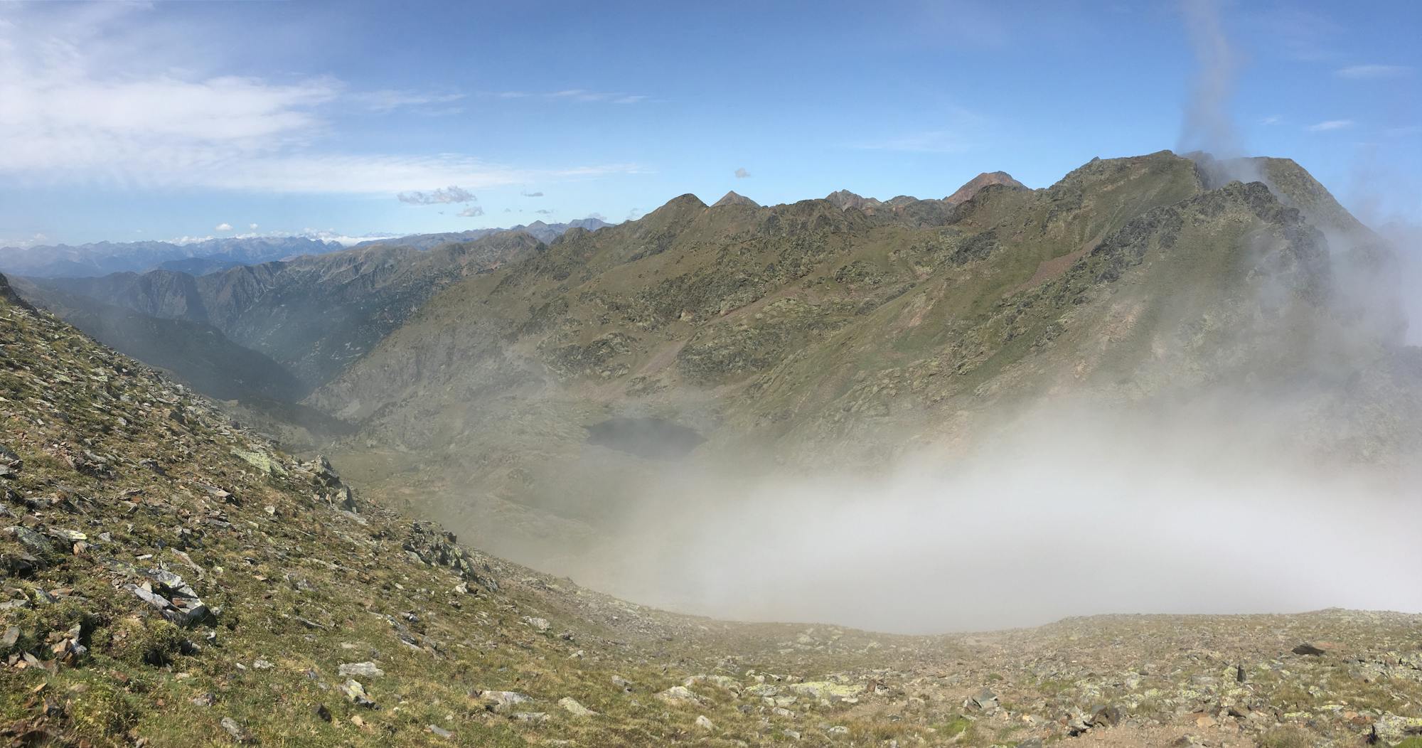
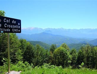
An "easy" balcony between the great summits of the Pyrenees and the plain of the Midi
Moderate Hiking

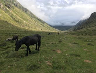
2-3 days off-track hike in the wild of Aston's moutains
Severe Hiking

Hike passing by the Lac Aygue Longue and finishing at the summit "Pic de l'Homme", with a very nice view over the Ariège.
Difficult Hiking
17,6km; 1300m D+; 6h de marche
Difficult Hiking
petit hors-piste aux abords de la station
Easy Freeride Skiing
Pic de Tarbésou par Ascou et variations dans la vallon
Easy Ski Touring
Descent on a technical hiking path in the forest
Difficult Mountain Biking

A cool descent into the forest along the river that allows you to reach Massat.
Moderate Mountain Biking
Long descent ine the forest with small stretch of road.
Moderate Mountain Biking
Technical descent in the forest.
Difficult Mountain Biking
Descente dans la forêt et sur terrain humide.
Moderate Mountain Biking

This itinerary for intermediate to advanced hikers navigates between forest and ridge. Its easy access and breathtaking view of the summit in good weather make it an undeniable favorite!
Difficult Resort Ski Touring