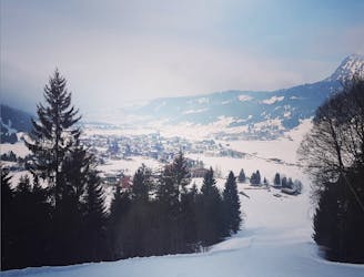
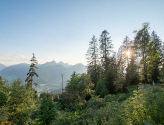
Gerstruben Hike
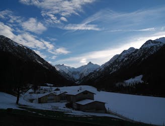
Parkplatz Renksteg to Bergbauerndorf Gerstruben
Easy Hiking
- Distance
- 4.3 km
- Ascent
- 353 m
- Descent
- 19 m
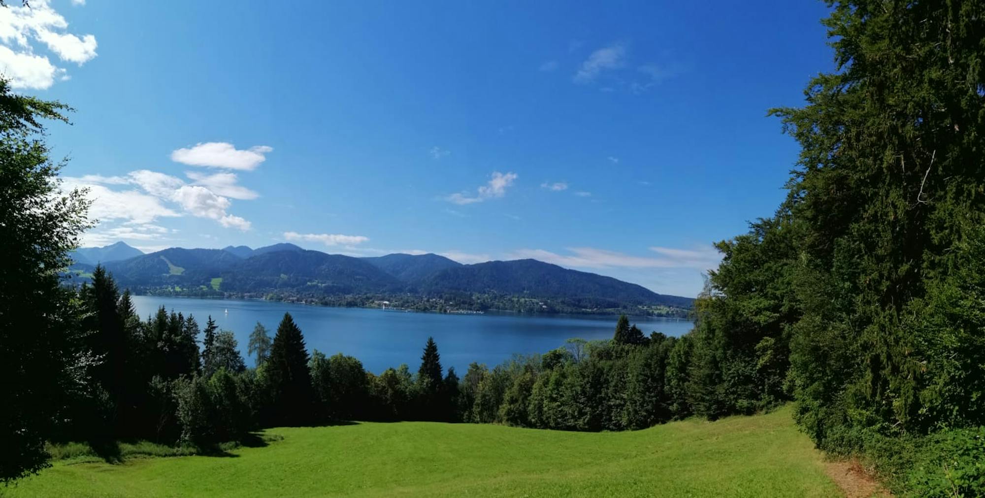
Explore Bayern with curated guides of the best hiking trails, ski routes, and more. With over 76 3D trail maps in FATMAP, you can easily discover and navigate the best trails in Bayern.
No matter what your next adventure has in store, you can find a guide on FATMAP to help you plan your next epic trip.
Get a top trail recommendation in Bayern from one of our 7 guidebooks, or get inspired by the 76 local adventures uploaded by the FATMAP community. Start exploring now!
Parkplatz Renksteg to Bergbauerndorf Gerstruben
Easy Hiking
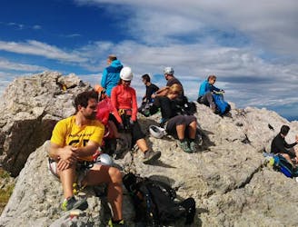
From Alpenhaus Toni to Reuterwanne Summit
Easy Hiking
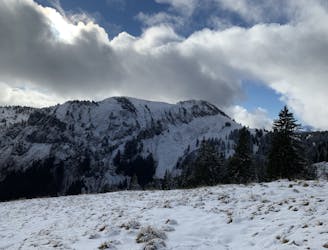
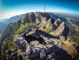
South face hike up to the top of Grünten
Easy Hiking
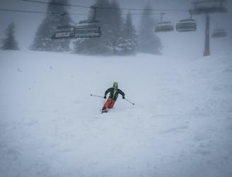
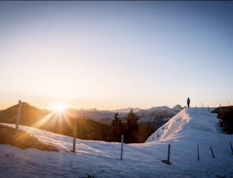
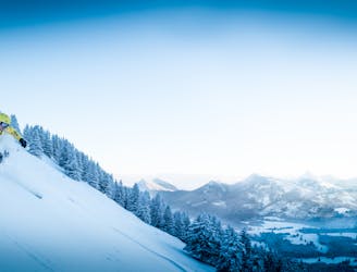
A short but steep ski tour in the German resort of Oberjoch
Easy Resort Ski Touring
Easy ski tour slightly off to the side of the main pistes in Ofterschwang
Easy Resort Ski Touring
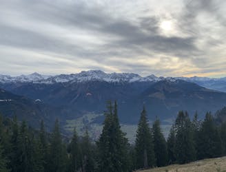
A variation on a classic round tour in the Allgauer Alps
Easy Hiking
Round tour starting at Oberjoch and taking in the two speaks of Großer Hirschberg and Ornach
Easy Hiking
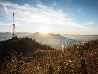
Hike up to the Austrian Germany border!
Easy Hiking
Full round tour of the Watzmann Ridge
Moderate Hiking
Short ski-tour up Ornach (1572m).
Easy Ski Touring
Steep hike up to Säuling summit from Pflach
Easy Hiking

A demanding freeride line from the top of the Alpspitze reached by a short tour
Difficult Ski Touring