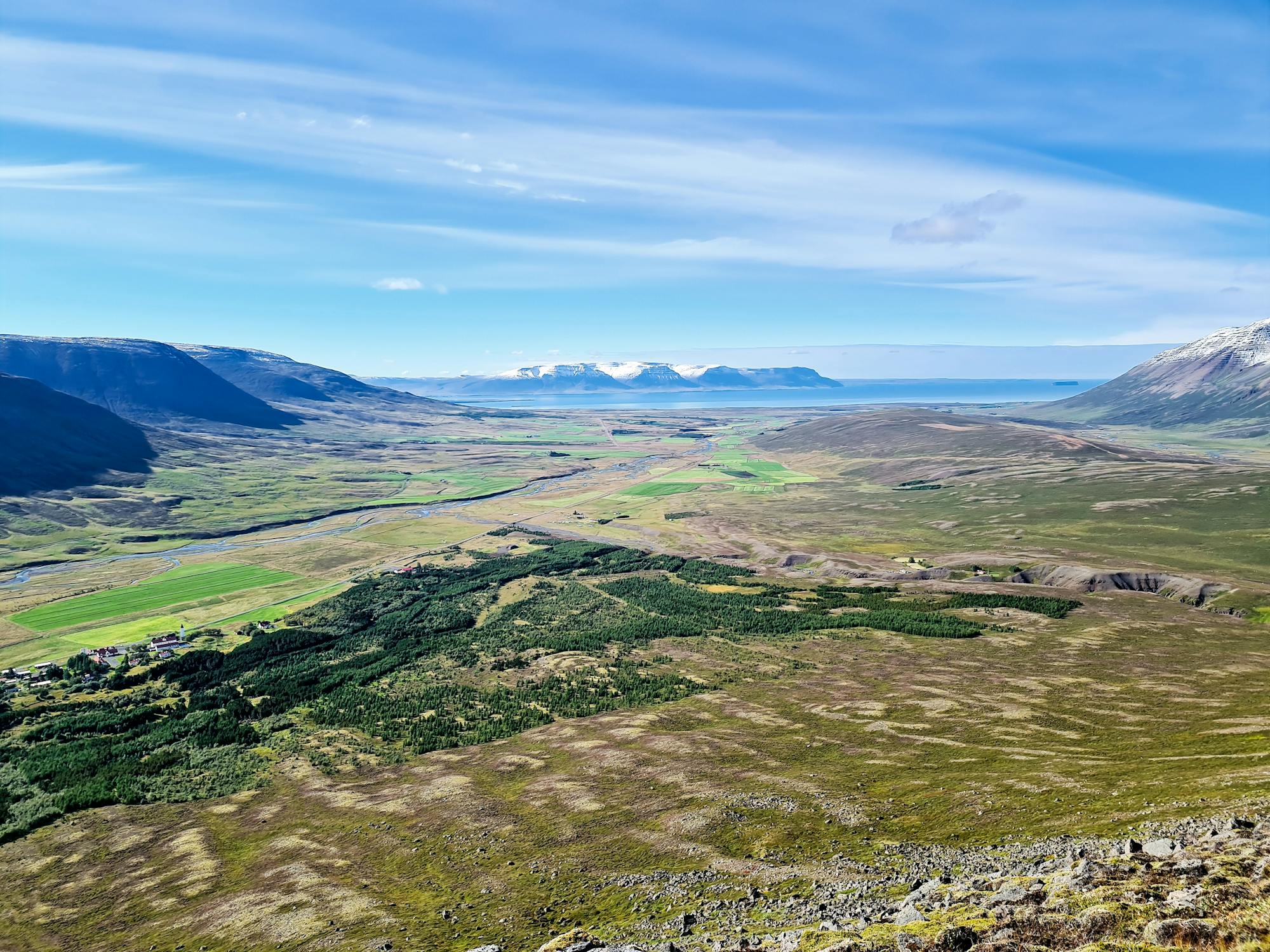
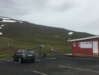
Rando 1

Long, difficult, trail for 1/3rd of the route, have to be in good shape and also it can be dangerous depending on the weather
Difficult Hiking
- Distance
- 18 km
- Ascent
- 1.4 km
- Descent
- 1.4 km
Explore Norðurland vestra with curated guides of the best hiking trails, and more. With over 19 3D trail maps in FATMAP, you can easily discover and navigate the best trails in Norðurland vestra.
No matter what your next adventure has in store, you can find a guide on FATMAP to help you plan your next epic trip.
Get a top trail recommendation in Norðurland vestra from one of our 1 guidebooks, or get inspired by the 19 local adventures uploaded by the FATMAP community. Start exploring now!
Long, difficult, trail for 1/3rd of the route, have to be in good shape and also it can be dangerous depending on the weather
Difficult Hiking
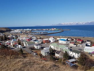
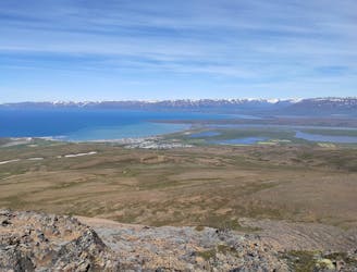
Panorama view over the town
Easy Hiking
Beautiful trail with stunning view ower the town and the fjord
Easy Hiking
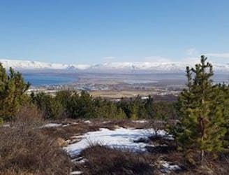
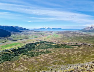
Magnificent view of Skagafjörður
Difficult Hiking
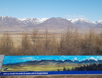
Steep walk on a stony path - Beautiful view
Moderate Hiking
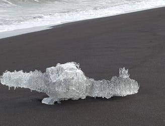
Nice and easy walk along the black beach.
Easy Hiking
Unique bird life around the lake Áshildarholtsvatn from May till September..
Easy Hiking
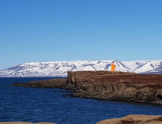
Scenic walk to a lighthouse
Easy Hiking

Beautiful scenery over Skagafjörður and Sauðárkrókur.
Easy Hiking
Hike with amazing view that is well worth the effort
Moderate Hiking

Amazing view is well worth the effort
Moderate Hiking

short hike to the near waterfall
Easy Hiking
Popular hike with stunning view.
Moderate Hiking
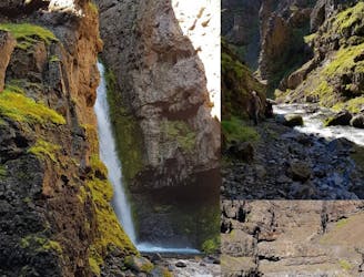
Beautiful canyon hike with river crossing
Moderate Hiking
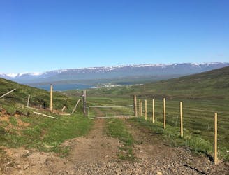
A fun hike that includes a beautiful view over the farms and fjords in the area.
Easy Hiking

Easy hike with beautiful view and wildlife.
Easy Hiking