Alta Via 2 – Rifugio Contrin to Rifugio Passo Valles
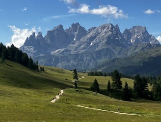
Another long day out on the AV2 trail!
Severe Hiking
- Distance
- 16 km
- Ascent
- 1.1 km
- Descent
- 1 km
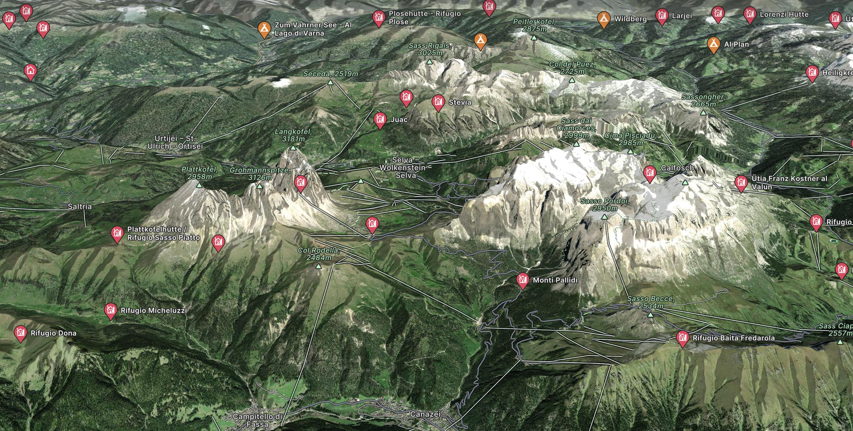
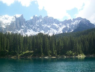
Go hiking in Dolomites with curated guides of the best hikes across the region. With over 92 3D trail maps in FATMAP, you can easily discover and navigate the best trails in Dolomites .
No matter what your next adventure has in store, you can find a guide on FATMAP to help you plan your next epic trip.
Get a top hiking trail recommendation in Dolomites from one of our 16 guidebooks, or get inspired by the 92 local adventures uploaded by the FATMAP community. Start exploring now!
Another long day out on the AV2 trail!
Severe Hiking
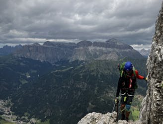
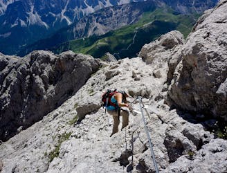
A big day for those chasing another vertical via ferrata!
Extreme Hiking
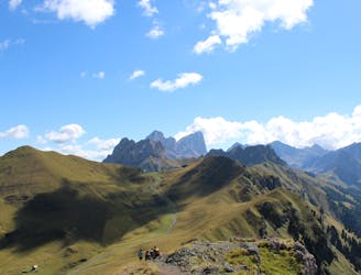
A good day of hiking with an incredible viewpoint!
Severe Hiking
A shorter day for those heading to Rifugio Boe and Piz Boe summit. A mega day for those wanting some vertical action!
Extreme Hiking

One of the best viewpoints in the Dolomites with a fantastic via ferrata to go with it!
Extreme Hiking
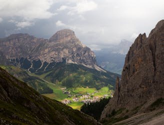
A real contender in the views department!
Severe Hiking
Traverse the Dolomites from west to east along this popular high altitude trail.
Severe Hiking
Cross the Dolomites by foot from Brixen to Salurn along the “High Trail of Heroes."
Difficult Hiking
The strenuous “Way of the Legends” high altitude hiking trail across the Dolomites.
Difficult Hiking

4 days Dolomitic hike | Day 1
Moderate Hiking

Dolomiti - Lago di Antermoia
Difficult Hiking
Rewarding hike to one of the peaks of Sella Group
Difficult Hiking
Ring: Pozza di Fassa - Buffaure - Sas D'adam - Su l'Aut - Col Bel - Pozza di Fassa
Difficult Hiking

AV2 Alta Via delle Dolomiti n.2 (with a twist towards Cadore after stage 7 - From Rosetta to Pelmo, San Vito, forcella piccola Antelao, Calalzo)
Difficult Hiking

Trekking in quota di 4 giorni, da rifugio a rifugio.
Difficult Hiking

Infamous walking passing through Val Duron to reach the Lago D'Antermoia, one of the most well know Lakes of the Alpine chain. Very popular, it require a perfect weather to perform. Avoid it with rain or possible rain in the afternoon. It can be dangerous in the descent, with slippery terrain.
Difficult Hiking