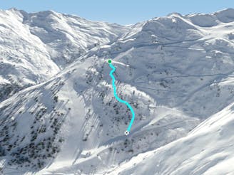
1.2 km away
Wedelride

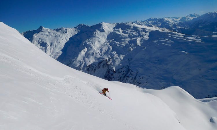
Nice route with good view from the chairlift nearby, also containing small cliffs.
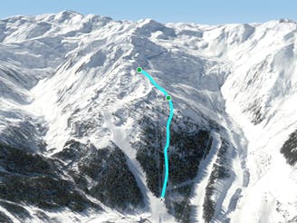
Severe Freeride Skiing
- Distance
- 1.6 km
- Ascent
- 94 m
- Descent
- 379 m
The furthest run from the lift is well worth the hike!
Freeride Skiing Difficult

The Holzalm Express Chairlift is an amazingly versatile starting point with plenty of options.
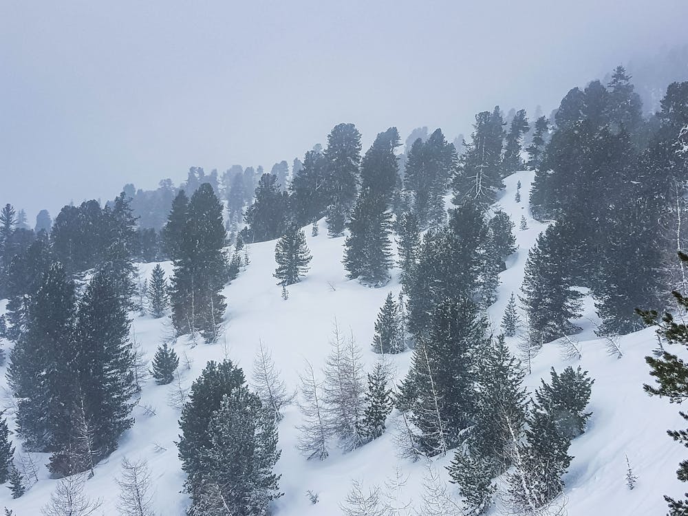
Take the KSB Holzalm lift, get out looker’s left and keep going, staying as high as possible and eventually put on the skins and hike up to the ridge up to Wetterkreuzspitze. Tree skiing is essentially forbidden in Austria if you just sneak off the pistes, but if you are ski-touring you are considered a pedestrian, with unlimited access to forests. You are considered Ski-Touring once you hike > 1 hour.
From Wetterkreuzspitze there are an abundance of options, some lead back to the lifts, others to the road. We describe four, but there are also epic tree runs for bad weather.
The first and the second one are truly obvious. I:https://fatmap.com/routeid/2774206/wetterkreuzspitze II:https://fatmap.com/routeid/2774210/wetterkreuz-ii
III: Drop in on the other side, also epic: https://fatmap.com/routeid/2774245/wetterkreuzspitze-iii?fmid=cp
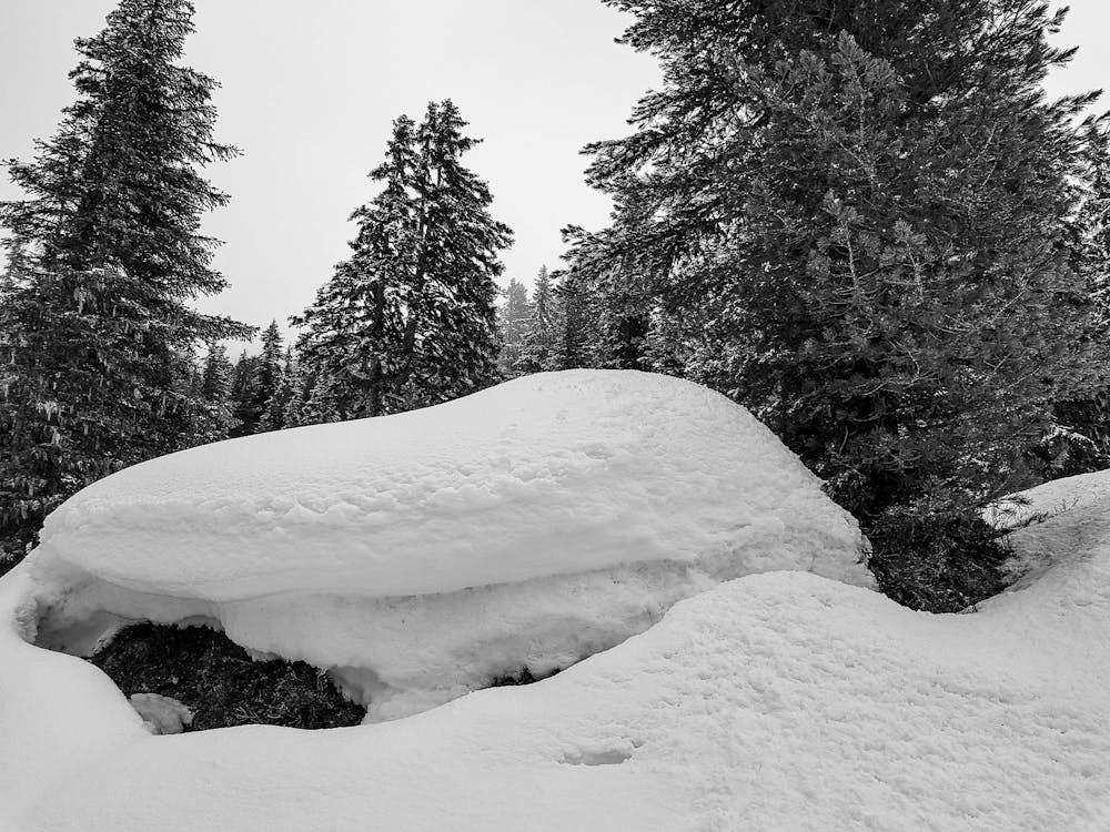
This forth option needs a face check from the bottom. Dropping in later from the ridge is also possible. You can also go skier's right before reaching the avalanche barricades and turn left right after. The run is north facing, the snow stays fresh long here, but it also can trigger longer after dumps - I have been swept here.
The way back is a little bit of a walk back uphill to the resort.
Difficult
Serious gradient of 30-38 degrees where a real risk of slipping exists.

As well as the slope itself, there are some obstacles (such as rock outcrops) which could aggravate injury.
Away from help but easily accessed.
1.2 km away
Nice route with good view from the chairlift nearby, also containing small cliffs.
Severe Freeride Skiing
1.5 km away

Long descent with a big wide slope, easy to reach from the Zillertal Shuttle
Difficult Freeride Skiing
1.5 km away

Long descent through bushes and small trees, a good choice in poor conditions.
Difficult Freeride Skiing
2.8 km away

Wide slope in the woods, nice run for bad weather days.
Difficult Freeride Skiing
2.8 km away
Tree run for bad days
Difficult Freeride Skiing
2.8 km away

Bumpy classic ride with a long descent, often crowded
Difficult Freeride Skiing
2.8 km away

Secret tree run, ideal line on bad days.
Moderate Freeride Skiing
2.9 km away
Nice tree run with bumps, good on bad days
Difficult Freeride Skiing
3.4 km away

Short route with steep parts and cliffs underneath the 8er Jet gondola.
Difficult Freeride Skiing
3.5 km away

Secret spot on bad days here in Kaltenbach/Hochzillertal
Difficult Freeride Skiing
6 routes · Freeride Skiing

10 routes · Freeride Skiing