946 m away
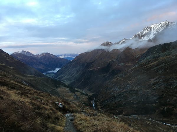
Crossing the Kalkkögel
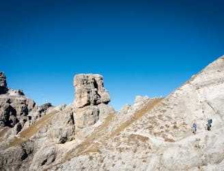
An atmospheric and wild-feeling hike through Tirol's finest mountains.
Difficult Hiking
- Distance
- 9.1 km
- Ascent
- 383 m
- Descent
- 1.4 km
Einfache Wanderroute zum Herzlteich
Hiking Easy

This is a popular hiking route which is generally considered to be easy. It's not remote, it features low exposure and is typically done between June and September. From a low point of 2 km to the maximum altitude of 2.1 km, the route covers 2.8 km, 163 vertical metres of ascent and 19 vertical metres of descent.

Einfache Wanderung von der Mittelstation Hoadlbahn
Easy
Walking along a well-kept trail that’s mostly flat. No obstacles are present.

The path is on completely flat land and potential injury is limited to falling over.
Close to help in case of emergency.
946 m away
An atmospheric and wild-feeling hike through Tirol's finest mountains.
Difficult Hiking
950 m away
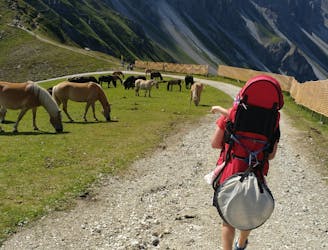
A brilliant short hike via the Hochtennbodensteig which takes you through some of the finest rock architecture in Austria in return for minimal physical effort!
Difficult Hiking
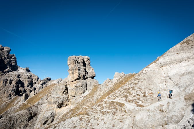
2.3 km away
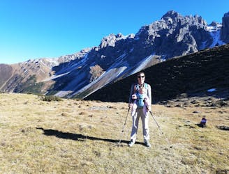
A short but densely packed journey through some fabulous mountain scenery.
Moderate Hiking
4.8 km away

An easy hike with a picturesque lake and mountain view.
Moderate Hiking
5.1 km away
A beautiful summit which is famous for being the first ever Alpine peak climbed by Sir Edmumd Hillary!
Difficult Hiking
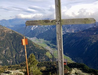
7.6 km away
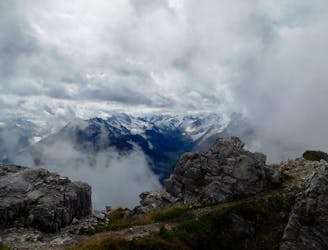
An incredibly wild-feeling trip through some wonderful scenery.
Difficult Hiking
7.9 km away

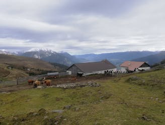
One of the smaller hiking tours in Stubaital to the beautiful Kaserstattalm.
Difficult Hiking
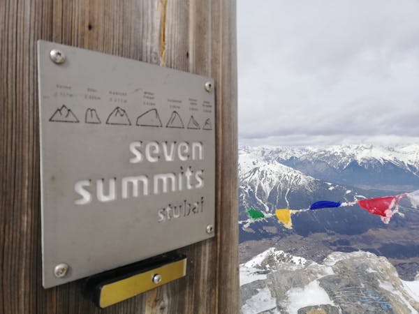
8.7 km away
Summit a peak in the heart of the Stubaital and visit one of the area's best mountain huts
Severe Hiking
9.1 km away

An ideal trip for families to a truly unique mountain restaurant.
Easy Hiking
9.4 km away

This route is made for everyone who loves easy ridge hiking.
Difficult Hiking
9 routes · Alpine Climbing · Hiking
4 routes · Hiking

5 routes · Hiking

9 routes · Hiking

25 routes · Hiking
7 routes · Hiking