5.1 km away
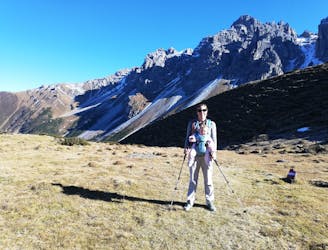
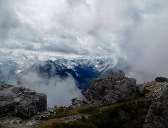
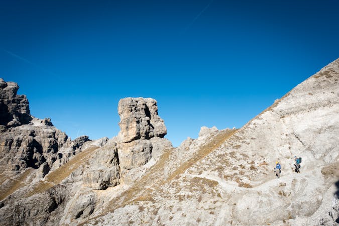
Crossing the Kalkkögel
An atmospheric and wild-feeling hike through Tirol's finest mountains.
Difficult Hiking
- Distance
- 9.1 km
- Ascent
- 383 m
- Descent
- 1.4 km
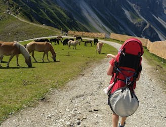
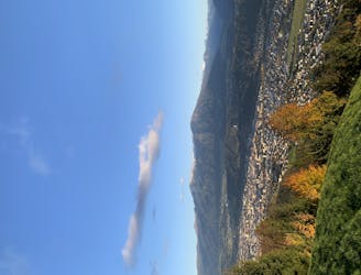
A short walk through the Family Park at Mutterer Alm with spectacular views over the Inn Valley and Nordkette mountains
Hiking Easy

This short hike will take you on a journey through the Family Park at Mutterer Alm. It begins at the top of the cable car. First, pass by the mountain restaurant and head underneath the lift. This trail then leads downhill along the boundary of the forest. After some time, beneath the cable car, this trail will intersect with another. Continue a few hundred meters down the ski piste and then take the path heading left into the forest. Continue on this path through the forest until you come across a tranquil pond. From here stick with the trail past the activity park and artificial lake. Complete a loop around this lake and head back to the restaurant where you started at the top of the cable car.
Easy
Walking along a well-kept trail that’s mostly flat. No obstacles are present.
5.1 km away
An atmospheric and wild-feeling hike through Tirol's finest mountains.
Difficult Hiking
5.1 km away
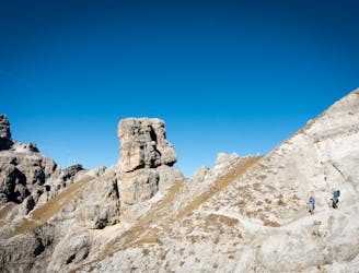
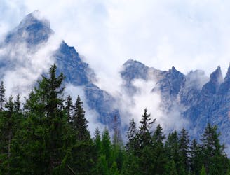
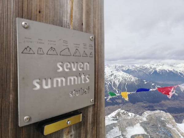
A brilliant short hike via the Hochtennbodensteig which takes you through some of the finest rock architecture in Austria in return for minimal physical effort!
Difficult Hiking
6.5 km away
A short but densely packed journey through some fabulous mountain scenery.
Moderate Hiking
6.5 km away

An easy hike with a picturesque lake and mountain view.
Moderate Hiking
7 km away

A classic hiking tour with a beautiful view of the impressive Serles northface.
Moderate Hiking
7.2 km away
A steep and strenuous hike to one of the best situated huts in Tirol.
Difficult Hiking
7.7 km away
A beautiful summit which is famous for being the first ever Alpine peak climbed by Sir Edmumd Hillary!
Difficult Hiking
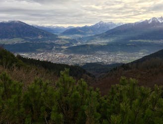
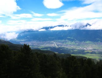
7.7 km away
A beautiful easy hike to a sunny vantage point above Innsbruck.
Easy Hiking
8.3 km away
An ideal trip for families to a truly unique mountain restaurant.
Easy Hiking
9 km away
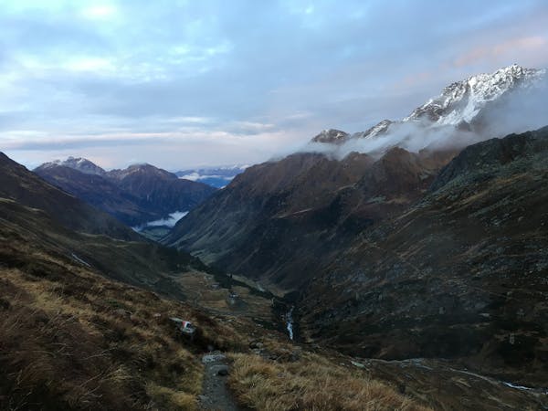
A stunning traverse high above the Inn valley, this is one of the most famous hikes in the Tirol.
Moderate Hiking
9 routes · Alpine Climbing · Hiking
4 routes · Hiking

8 routes · Hiking

5 routes · Hiking

9 routes · Hiking

25 routes · Hiking
7 routes · Hiking