1 m away
Rundumadum: Stage 7 - Route 2
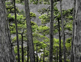
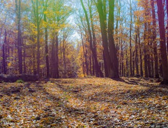
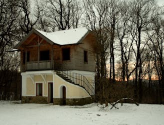
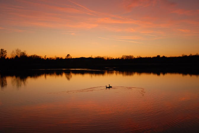
A dog-friendly route through the Maurer Wald, with a guesthouse nestled in the forest.
Easy Hiking
- Distance
- 7.5 km
- Ascent
- 130 m
- Descent
- 162 m
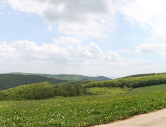
Through woods and meadows of Lainzer Tiergarten, then alongside a stream at the city outskirts.
Also in Niederösterreich, Austria
Hiking Easy

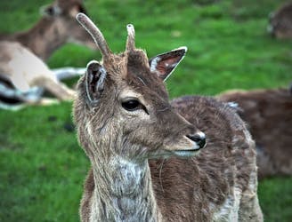
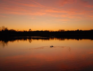
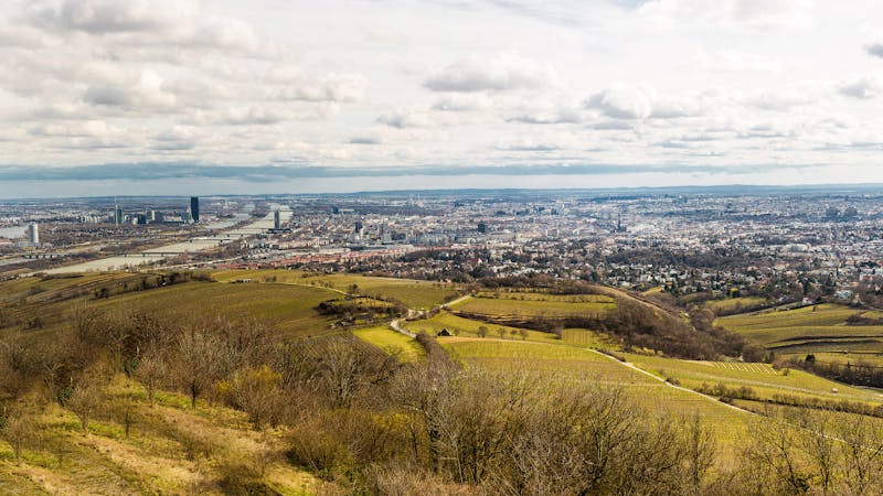
This stage begins at the main Lainzer gate, going first along a wide, flat path then taking a slight incline through a patchwork of forest and fields. Keep an eye out for resident wildlife on this stretch. After turning downhill, the path comes again to the wall and exits the preserve at Gütenbach gate. From there it goes to the historic recreation area at Poplar Pond, which is a pleasant picnic spot with playgrounds nearby. The path then continues through a deeply wooded graben before coming into town at In der Klausen street.
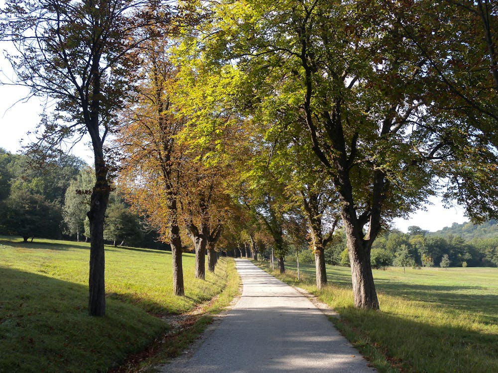
There you’ll find a guesthouse and a few other restaurants, in case you’re ready for refreshment. Next, the route follows Promenadenweg alongside a creek flowing into the city. As you continue, buildings become more numerous but greenery remains abundant near the waterway. This stage ends at the Tram 60 station Breitenfurter Straße / Liesingbrücke.
Note that dogs are not allowed inside Lainzer Tiergarten, and the preserve may close in winter. To detour, take Stage 7 Route 2 through Maurer Wald.
Sources: https://www.wien.gv.at/umwelt/wald/freizeit/wandern/rundumadum/etappe7.html
Easy
Walking along a well-kept trail that’s mostly flat. No obstacles are present.

The path is on completely flat land and potential injury is limited to falling over.

Away from help but easily accessed.
1 m away
A dog-friendly route through the Maurer Wald, with a guesthouse nestled in the forest.
Easy Hiking
3.3 km away
Path along the Leising waterway, linking many green parks in the city.
Easy Hiking
3.4 km away
Explore the wildlife sanctuary of Lainzer, and see the palace that endures from its time as an imperial hunting ground.
Moderate Hiking
3.4 km away
The dog-friendly alternate route to Stage 6.
Easy Hiking
3.8 km away
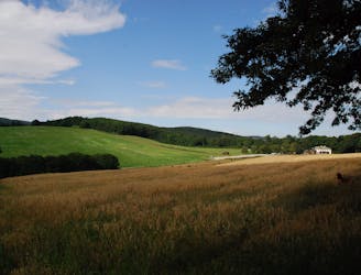
A diverse mix of nature, history, and cuisine at the edge of the Vienna Woods Biosphere Reserve.
Moderate Hiking
3.9 km away
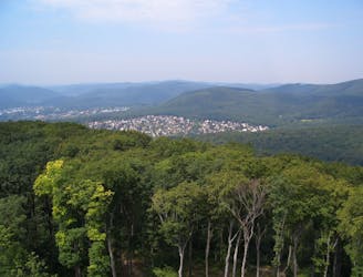
A peaceful woodland park and charming hillside suburbs lead to a lookout tower in the forest.
Easy Hiking
6.5 km away
A balance of urban amenities and natural splendor in the diverse district of Ottakring.
Easy Hiking
7.2 km away
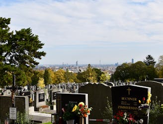
A walk through the varied environments of Favoriten and Simmering districts, which include forest parks, urban farms, the Central Cemetery, and eventually the Danube.
Easy Hiking
7.3 km away
Over hills and through valleys in the Vienna Woods, seemingly far from the city.
Moderate Hiking
7.8 km away
Walk through one of Austria’s oldest garden parks, then up a tall hill in the Vienna Woods.
Moderate Hiking

3 routes · Hiking
12 routes · Hiking
15 routes · Hiking

7 routes · Hiking