805 m away
Stadtwanderweg 6 - Zugberg-Maurer Wald
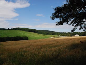
A diverse mix of nature, history, and cuisine at the edge of the Vienna Woods Biosphere Reserve.
Moderate Hiking
- Distance
- 13 km
- Ascent
- 342 m
- Descent
- 342 m
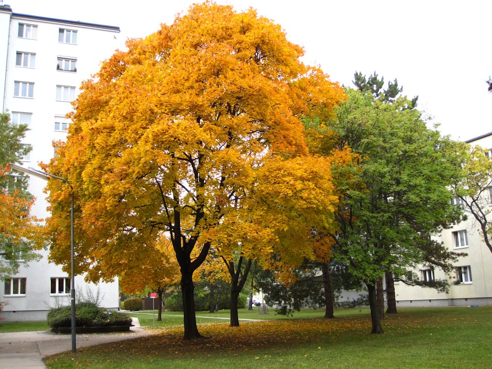
Path along the Leising waterway, linking many green parks in the city.
Also in Niederösterreich, Austria
Hiking Easy

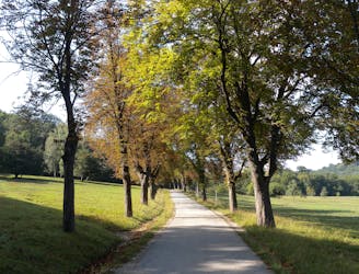
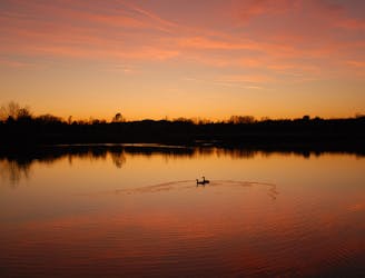
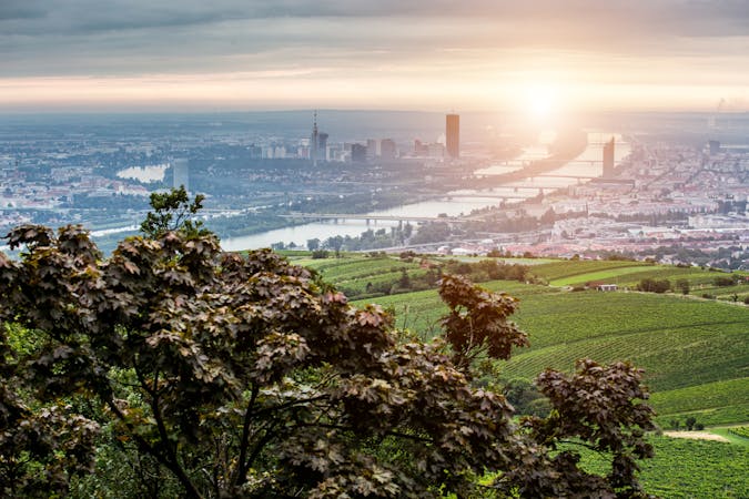
Stage 8 begins along the Liesing waterway, where the scenery is mostly urban but with much greenery in the landscaping. Buildings surround, but the path is generally quiet and uncrowded. You’ll pass beneath the arches of an aqueduct, then come to a leafy little park with playgrounds.
The path then crosses the commercial center of Liesinger Platz and the rail station before returning to its course along the canal. Despite the urban setting, the route stays mostly on pedestrian paths removed from the street, and continues in this manner–in and out of small parks along the Liesing–until the end of Stage 8 at Alterlaa station on Anton-Baumgartner-Strasse.
If continuing on to Stage 9, you can skip the turn toward the U station and remain beside the Liesing. It goes first through an upscale residential area, then through a few small parks with lawns and ponds. The stage ends near Das Chadim, a classy restaurant and event venue on a quiet street next to Wienerberg park.
Sources: https://www.wien.gv.at/umwelt/wald/freizeit/wandern/rundumadum/etappe8.html https://www.wien.gv.at/umwelt/wald/freizeit/wandern/rundumadum/etappe9.html
Easy
Walking along a well-kept trail that’s mostly flat. No obstacles are present.

The path is on completely flat land and potential injury is limited to falling over.
Close to help in case of emergency.
805 m away
A diverse mix of nature, history, and cuisine at the edge of the Vienna Woods Biosphere Reserve.
Moderate Hiking
3.3 km away
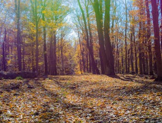
Through woods and meadows of Lainzer Tiergarten, then alongside a stream at the city outskirts.
Easy Hiking
3.3 km away
A dog-friendly route through the Maurer Wald, with a guesthouse nestled in the forest.
Easy Hiking
6.5 km away
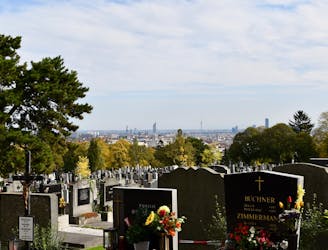
A walk through the varied environments of Favoriten and Simmering districts, which include forest parks, urban farms, the Central Cemetery, and eventually the Danube.
Easy Hiking
6.6 km away
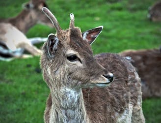
Explore the wildlife sanctuary of Lainzer, and see the palace that endures from its time as an imperial hunting ground.
Moderate Hiking
6.6 km away
The dog-friendly alternate route to Stage 6.
Easy Hiking
7 km away
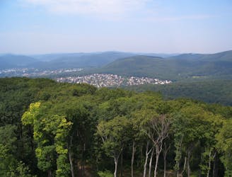
A peaceful woodland park and charming hillside suburbs lead to a lookout tower in the forest.
Easy Hiking
8.8 km away
A balance of urban amenities and natural splendor in the diverse district of Ottakring.
Easy Hiking
8.9 km away
A nicely varied path that connects city streets, forest recreation areas, an amusement park, and countryside farms in the southern part of Vienna.
Easy Hiking

3 routes · Hiking
12 routes · Hiking
15 routes · Hiking
7 routes · Hiking