1 m away
Tunnel Bluffs
The safe and legal option for hiking Tunnel Bluffs.
Easy Hiking
- Distance
- 12 km
- Ascent
- 726 m
- Descent
- 726 m
A steep hike, with an easy scramble to the summit
Hiking Severe

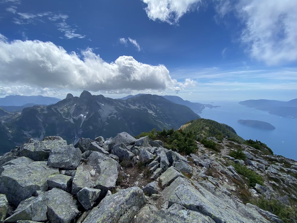
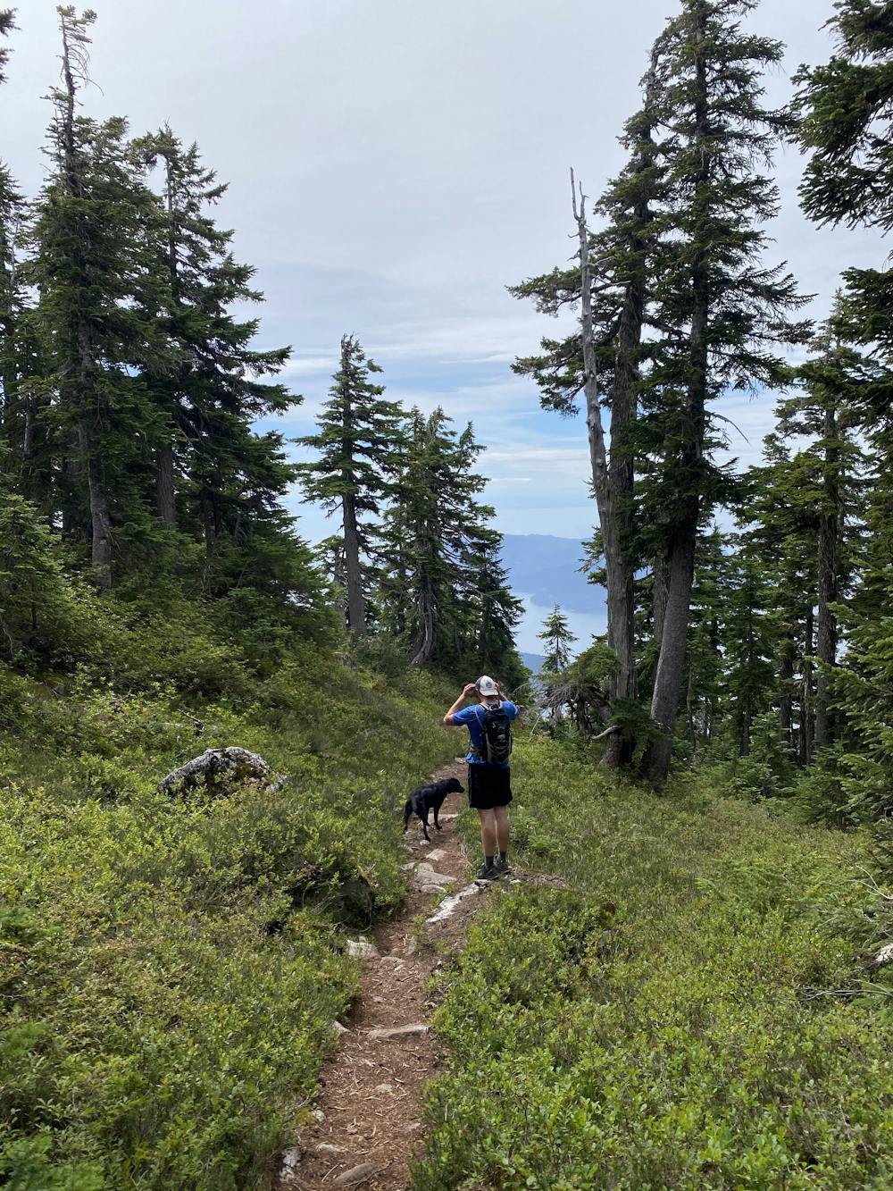
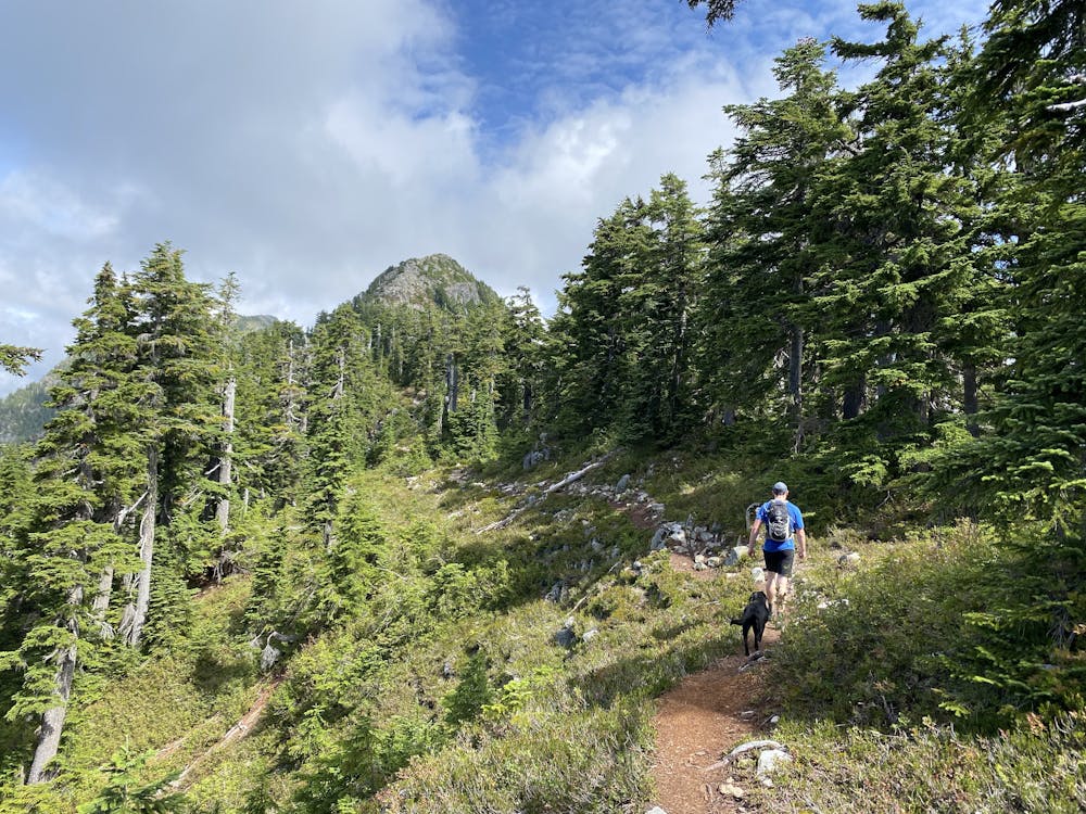
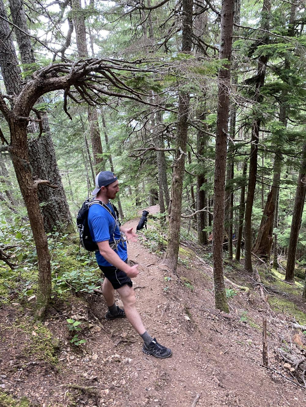
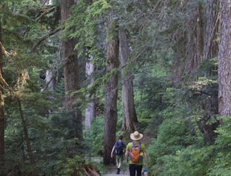
Mt Harvey is a popular steep hike/scramble on the Howe Sound Crest. It's a lung testing hike, but famous for it's views and being a good introduction to scrambling.
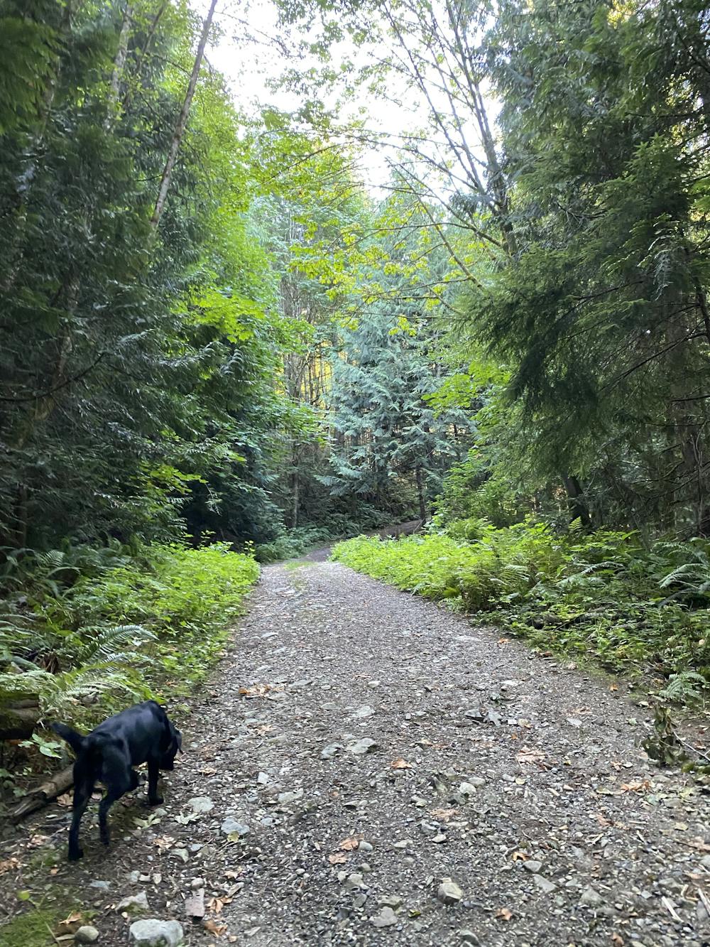
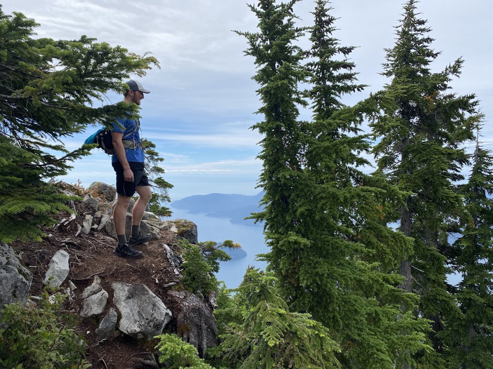
Trailhead: There are two options. The first option is the Lions, Tunnel Bluffs, and Brunswick Trailhead at the Northern edge of Lions Bay Village. It's ruthlessly enforced as local residents don't like people coming to their little town. If the parking lot is full the second option is to get back on Highway 99, and take the turn off after the big bend beside Magnesia Creek. This spot is larger and does have signs warning of towing, however as of 2021 phone call with the towing company this is not enforced. The route follow this path.
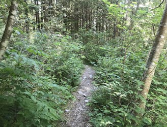
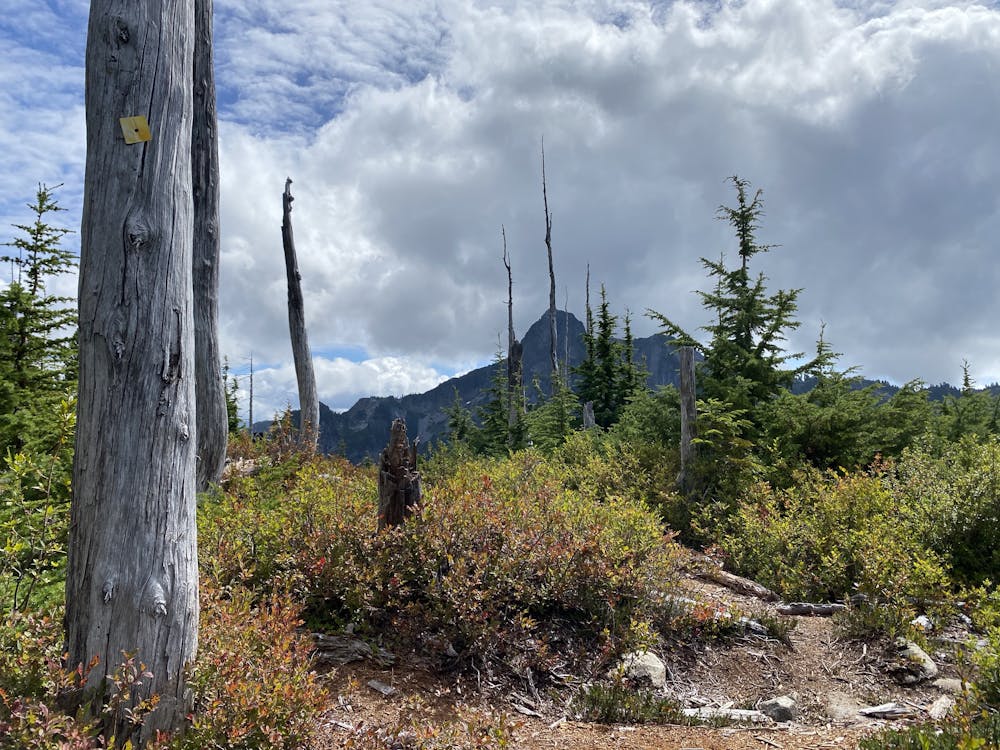
1.The Trail starts by following steep residential road on the north side and leads to a trail that winds upwards to the forest service road.
If you find yourself using two hands, backtrack as you are probably off course as the route should not get this difficult
The route is often done with snowshoes in the winter as well. In some winter and spring conditions ice axes, crampons and helmets are required. Be warned though as the cornices that form are huge, and claimed the lives of 5 people a couple years ago. This route should only be done with Avalanche Safety One training.
Severe
Hiking challenging trails where simple scrambling, with the occasional use of the hands, is a distinct possibility. The trails are often filled with all manner of obstacles both small and large, and the hills are very steep. Obstacles and challenges are often unexpected and can be unpredictable.

Some trail sections have exposed ledges or steep ascents/descents where falling could cause serious injury.

Away from help but easily accessed.
1 m away
The safe and legal option for hiking Tunnel Bluffs.
Easy Hiking
196 m away

A steep climb with an short, but thrilling narrow exposed ridge to a beautiful summit.
Extreme Hiking
565 m away
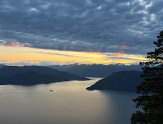
Beautiful Howe Sound sunset with a sneaky peak of Tantalus
Moderate Hiking
6.5 km away
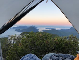
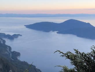
Enjoy fabulous 360° views of Howe Sound
Difficult Hiking
8.9 km away
Local classic to take in a beautiful Howe Sound sunset
Moderate Hiking
9.1 km away
Popular hike with scenic views over Howe Sound
Moderate Hiking

7 routes · Hiking · Trail Running

6 routes · Hiking

3 routes · Hiking