499 m away
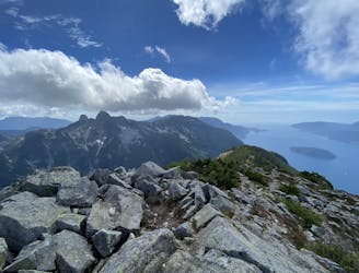
Mt. Brunswick Scramble
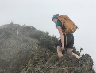
A steep climb with an short, but thrilling narrow exposed ridge to a beautiful summit.
Extreme Hiking
- Distance
- 14 km
- Ascent
- 1.7 km
- Descent
- 1.7 km
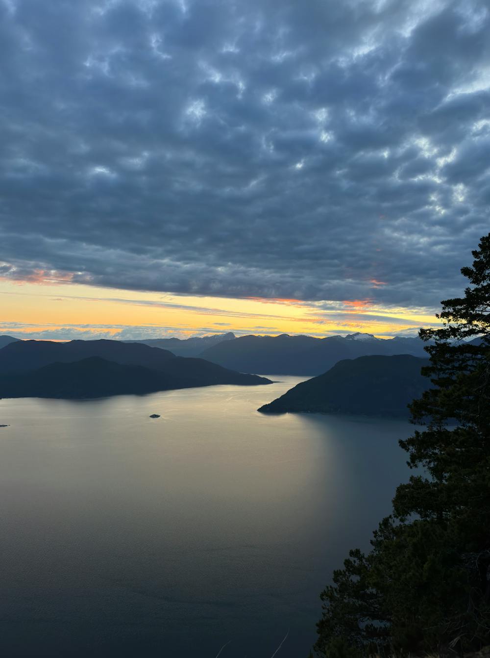
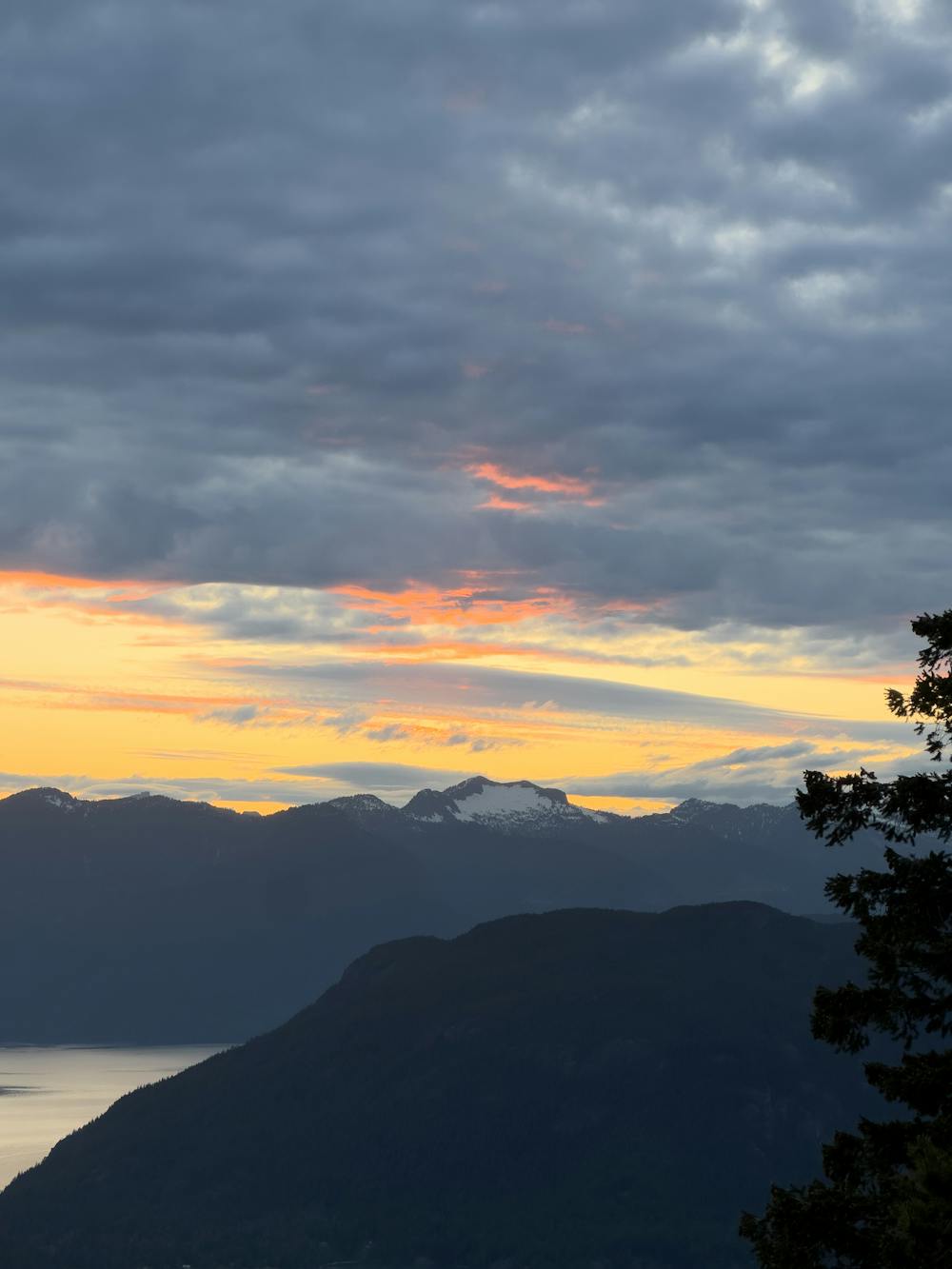
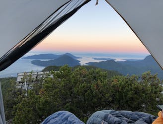
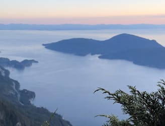
Beautiful Howe Sound sunset with a sneaky peak of Tantalus
Hiking Moderate

This 10.1km in-and-out moderate trail is a great way to catch a Howe Sound sunset. This one gets bonus points as you get a sneak peak ;) of the Tantalus Range including Rumbling Glacier!
Starting at the end of Sunset Drive in Lions Bay, where the paid parking lots are, this trail gains around 519m in elevation in total. Don't forget to bring a headlamp if you are going for the sunset as the first part of the descent is fairly technical before reaching the gravel road and forested sections aren't covered by moonlight.
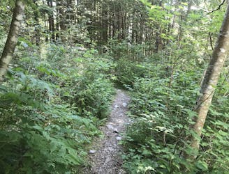
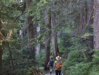
The trail begins at the far end of Sunset Drive, where you'll see signs and trail posts before heading into the forest. Although there aren't trail markers all the way, the trail is fairly heavily trafficked and obvious.
The first section of the trail is mostly moderate uphill on a gravel road with almost no technical sections. You'll be following switchbacks on this road for ~1.5km until you hit your first fork where you will want to stay left. The trail to the right takes you up Harvey Mountain.
Shortly after crossing the log bridge, you'll run into another fork where you'll want to again, stay left as the trail to the right ascends Brunswick Mountain.
After another creek crossing, you'll traverse across the shoulder above Tunnel Bluffs through a forested section with some roots and somewhat technical terrain. You'll want a headlamp for this section if travelling after sunset back.
The final 500m involves navigating a somewhat slabby section before ending up at the end with amazing 180° views of Howe Sound. Looking to the right, you'll see Rumbling Glacier in the Tantalus Range pop out, while looking ahead of you, you'll see Bowen Island.
NOTE: Currently, permits are not required, but this may change due to its popularity if the area is not respected.
PARKING: Paid parking is available at the top of Sunset Drive. You can also park at the bottom of Sunset Drive, and walk approx. 750m to the trail head alternatively if looking for free parking. Note there is limited free parking!
DOGS: Dogs are permitted on this trail.
GEAR: Make sure you bring a headlamp if you are planning on descending after sunset.
Moderate
Hiking along trails with some uneven terrain and small hills. Small rocks and roots may be present.

The path is on completely flat land and potential injury is limited to falling over.
Close to help in case of emergency.
499 m away
A steep climb with an short, but thrilling narrow exposed ridge to a beautiful summit.
Extreme Hiking
565 m away
The safe and legal option for hiking Tunnel Bluffs.
Easy Hiking
565 m away
A steep hike, with an easy scramble to the summit
Severe Hiking
7 km away
Enjoy fabulous 360° views of Howe Sound
Difficult Hiking
8.5 km away
Local classic to take in a beautiful Howe Sound sunset
Moderate Hiking
8.7 km away
Popular hike with scenic views over Howe Sound
Moderate Hiking

7 routes · Hiking · Trail Running

6 routes · Hiking

3 routes · Hiking