1 m away
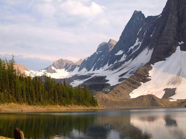
The Rockwall: Helmet-Ochre Junction
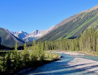
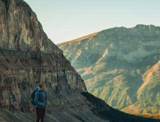
An easy overnight backpacking trip, or one end of the difficult Rockwall trek.
Moderate Hiking
- Distance
- 6.1 km
- Ascent
- 212 m
- Descent
- 144 m
Short walk among culturally significant mineral pools.
Hiking Easy

Beginning in shady forest, the trail soon crosses a bridge over the Vermillion River, with excellent mountain views removed from the highway. On the other side of the river, forest gives way to meadows where the paint pots seep from the ground. These reddish pools are natural mineral springs, rich with iron oxide, which the native people used for dyes.
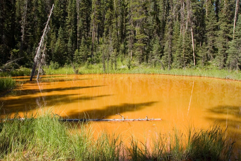
The trail is always muddy, but planks help to cross the soggiest sections. Be sure to continue across the first, broad meadow to find the smaller clearings farther on, where the largest paint pot is found. This is the turnaround point for walkers interested in a short outing, but the path can be continued to link with Helmet Falls Trail.
Sources: https://www.pc.gc.ca/en/pn-np/bc/kootenay/activ/randonnee-hike/courte-short https://en.wikipedia.org/wiki/KootenayNationalPark#PaintPots
Easy
Walking along a well-kept trail that’s mostly flat. No obstacles are present.

The path is on completely flat land and potential injury is limited to falling over.
Close to help in case of emergency.
1 m away
An easy overnight backpacking trip, or one end of the difficult Rockwall trek.
Moderate Hiking
2.5 km away
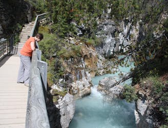
Walk along a remarkably narrow gorge flowing with water.
Easy Hiking
5.2 km away
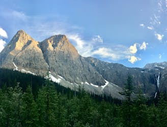
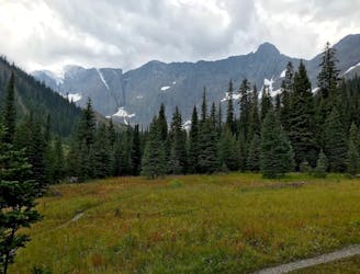
Hike to a backcountry campground near a huge, double-forked waterfall along The Rockwall trek.
Moderate Hiking
6.1 km away
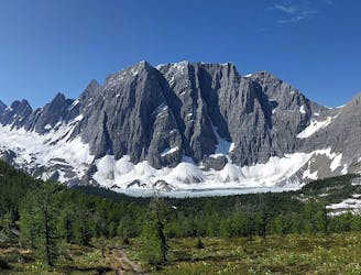
A relatively easy hike to get up close with a glacier
Moderate Hiking
7 km away
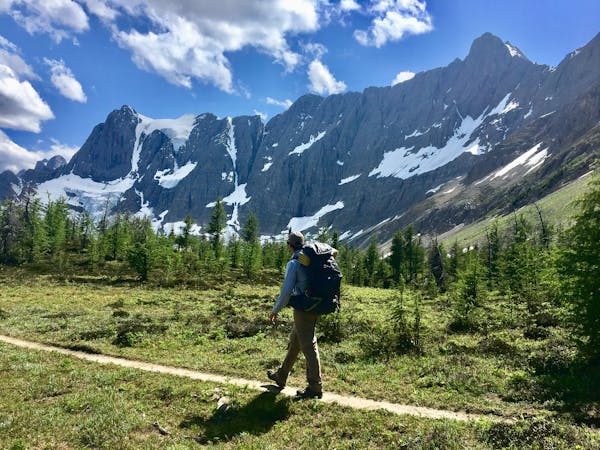
Between Tumbling and Numa Creek camps you’ll cross steep avalanche slopes and a high pass with breathtaking views of the Rockwall.
Difficult Hiking
7.1 km away
Up and over Numa Pass, the highpoint of the Rockwall Trek.
Difficult Hiking
6 routes · Hiking
5 routes · Hiking
4 routes · Hiking