9 m away
Conscrits Hut to the Durier Hut via the Dômes de Miage
A staggeringly beautiful day of mountaineering through Himalayan-esque scenery
Difficult Alpine Climbing
- Distance
- 6.1 km
- Ascent
- 1.3 km
- Descent
- 580 m
An über classic low grade route which is a perfect introduction to longer alpine climbs.
Alpine Climbing Moderate

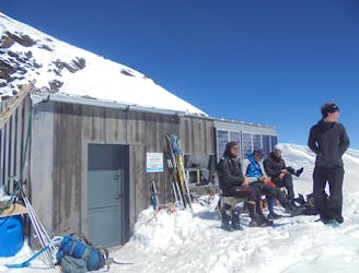
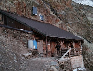
Before the day's climbing even begins on this route you will have a special experience simply by waking up in the beautiful Conscrits hut. It sits in a valley that feels more Himalayan than alpine, and sitting in the curved dining room in the pre-dawn darkness is a wonderful feeling.
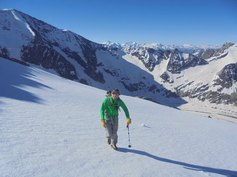
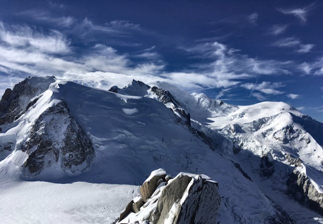
Once out of the door, head north-east up mellow slopes to the Aiguille de la Bérangère, a nice little peak which is technically easy to reach. There's some slightly steeper snow and very easy scrambling just below the summit but basically the 2 - 2.5 hours it takes to get from the Conscrits to the summit are easy, non-glaciated walking.
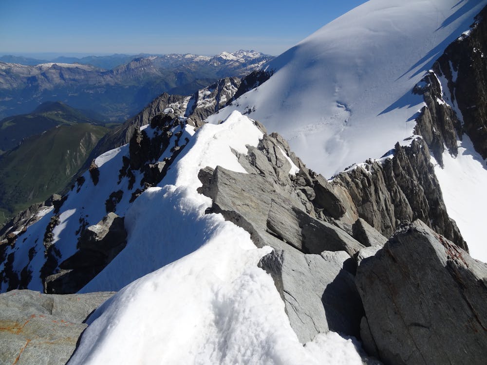
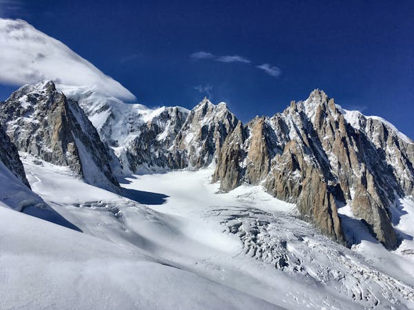
Go north off the summit along an easy but exposed ridge (which is home to the occasional loose block, watch out for these) which leads to the Col de la Bérangère. From the broad and wild-feeling col, take a look down to the left and you will see part of the Armancette Glacier, a popular and classic ski descent in the Spring.
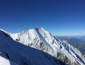
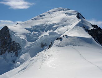
Continue north-east on a steepening snow slope to the left of a ridge crest to the first of the Dômes de Miage summits, Pointe 3670m. Carry on along the easy but often very exposed snow ridge to Pointes 3666m and 3633m before descending down to the Col des Dômes. The descent back to the Conscrits hut drops off from here but it is highly recommended to carry on eastwards from the Col to the final (and highest) summit of the Dômes de Miage, Pointe 3673m, before going back to the Col and descending. Pointe 3673m is only a 20 minute detour as a roundtrip and marks the "official" end of the Dômes so make the effort to tick it if fitness and weather permit!
To descend, drop of the Col des Dômes and follow the right back of the Tré la Tête Glacier and then (when the glacier runs out) a good path all the way back to the Conscrits Hut.
Moderate
May involve slightly more complex glacier hikes, easy but possibly long rock ridges and steep snow up to 45 degrees. Equivalent to PD, PD+

Much of the route is difficult to protect and a fall could be disastrous at certain points.
Little chance of being seen or helped in case of an accident.
9 m away
A staggeringly beautiful day of mountaineering through Himalayan-esque scenery
Difficult Alpine Climbing
5.5 km away
The most amazing traverse of several 4000m peaks including the iconic Aiguille du Bionnassay and Mont Blanc
Difficult Alpine Climbing
6.3 km away
A fantastic route from the wild Italian side of the mountain traversing to descend into France
Moderate Alpine Climbing
6.8 km away
A very long and remote day that can be halved by staying in the Plan Glacier Hut
Moderate Alpine Climbing
8.3 km away
A significant day itself accessing the highest guardian-ed hut in France.
Moderate Alpine Climbing
8.7 km away
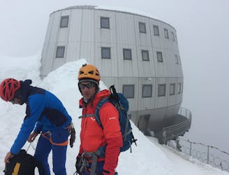
The most popular route up the highest peak in Western Europe.
Moderate Alpine Climbing
3 routes · Alpine Climbing · Hiking
5 routes · Alpine Climbing

15 routes · Alpine Climbing · Hiking

9 routes · Alpine Climbing · Hiking

6 routes · Alpine Climbing

10 routes · Alpine Climbing