4.8 km away
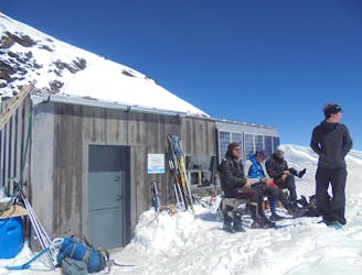
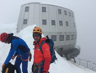
Approach to the Goûter Hut
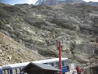
A significant day itself accessing the highest guardian-ed hut in France.
Moderate Alpine Climbing
- Distance
- 4.4 km
- Ascent
- 1.5 km
- Descent
- 17 m
A very long and remote day that can be halved by staying in the Plan Glacier Hut
Also in Aoste, Italy
Alpine Climbing Moderate

From Gruvaz at 1120m follow the well marked obvious 4WD track to the Chalets de Miages at 1559m. Follow the path heading SE from there, heading to the L in ascent of the stream marked on the map as le Grand Pont, briefly heading SW at about 1730m, where it steepens, then SE and E again until about 2130m, where the path heads N. Cross a stream and gain the moraine, following it up NE then zigzagging E.
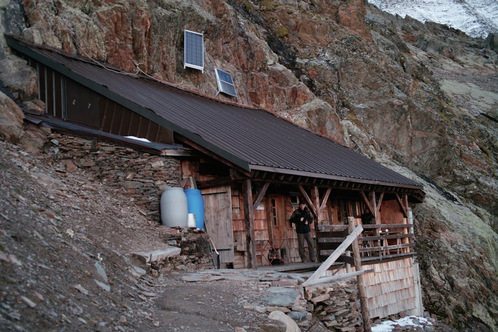
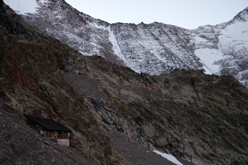
At 2590m it meets another path from the L, then heads SE off the moraine, before then gaining another moraine, heading NE, to 2690, before heading R to the Plan Glacier Hut. The day could be split here for acclimatisation.
Alternatively continue on up, making it a pretty big climb all the way to the Durier Hut. From the Plan Glacier Hut follow the obvious path, descending slightly then rising, before crossing the Miage Glacier at about 2790m and crossing it, heading to an entry point onto the steep broken rocks, following a vague rib and red markers, to the Durier Hut at 3358m.
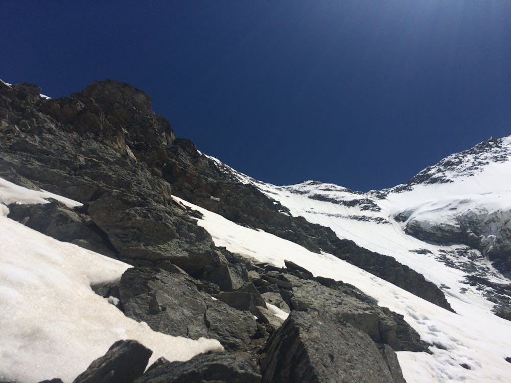
Moderate
May involve slightly more complex glacier hikes, easy but possibly long rock ridges and steep snow up to 45 degrees. Equivalent to PD, PD+

The route features some exposed and/or difficult to protect sections.

Little chance of being seen or helped in case of an accident.
4.8 km away
A significant day itself accessing the highest guardian-ed hut in France.
Moderate Alpine Climbing
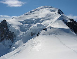
6.1 km away
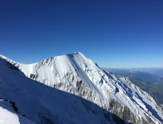
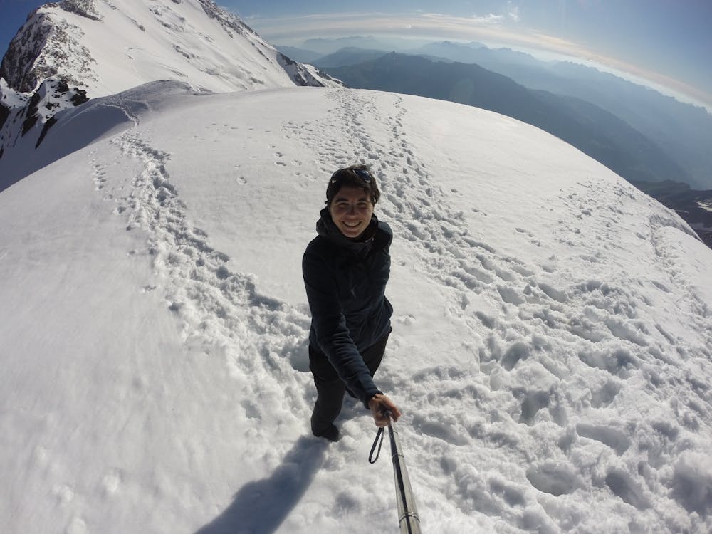
The most amazing traverse of several 4000m peaks including the iconic Aiguille du Bionnassay and Mont Blanc
Difficult Alpine Climbing
6.8 km away
An über classic low grade route which is a perfect introduction to longer alpine climbs.
Moderate Alpine Climbing
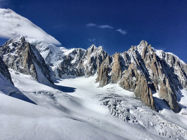
6.8 km away
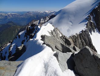
A staggeringly beautiful day of mountaineering through Himalayan-esque scenery
Difficult Alpine Climbing
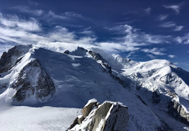
7.1 km away
The most popular route up the highest peak in Western Europe.
Moderate Alpine Climbing
7.8 km away
A fantastic route from the wild Italian side of the mountain traversing to descend into France
Moderate Alpine Climbing
3 routes · Alpine Climbing · Hiking
5 routes · Alpine Climbing

15 routes · Alpine Climbing · Hiking

9 routes · Alpine Climbing · Hiking

6 routes · Alpine Climbing

10 routes · Alpine Climbing