38 m away
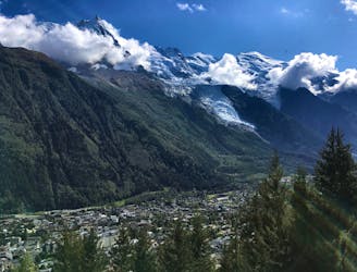
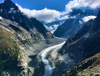
Grotte de Glace
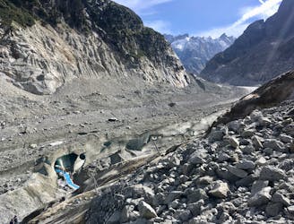
A must-do visit to an ice cave carved in the Mer de Glace glacier.
Easy Hiking
- Distance
- 2.2 km
- Ascent
- 225 m
- Descent
- 225 m
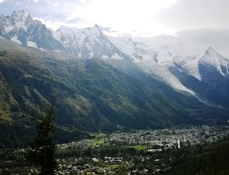
Montenvers - Mont Blanc - Belleveux
Hiking Difficult

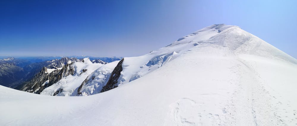
This is a popular hiking route which is generally considered to be difficult. It's remote, it features high exposure and is typically done between July and September. From a low point of 1.8 km to the maximum altitude of 4.8 km, the route covers 49 km, 3739 vertical metres of ascent and 3841 vertical metres of descent.
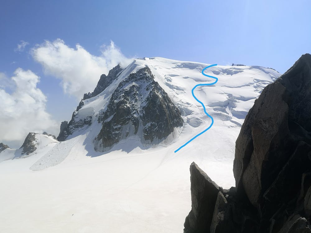
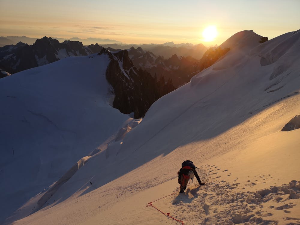
4 day climb of Mont Blanc. The first two days are short, but very beautiful hikes that work well for the required acclimatisation. The track over Col de Maudit is the most difficult part, rated as PD+, and requires crossing crevasses + a steep snow climb.
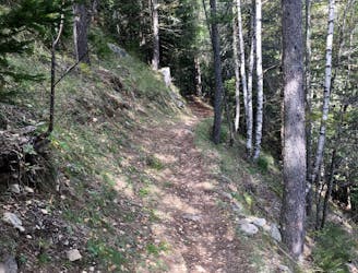
Difficult
Hiking trails where obstacles such as rocks or roots are prevalent. Some obstacles can require care to step over or around. At times, the trail can be worn and eroded. The grade of the trail is generally quite steep, and can often lead to strenuous hiking.

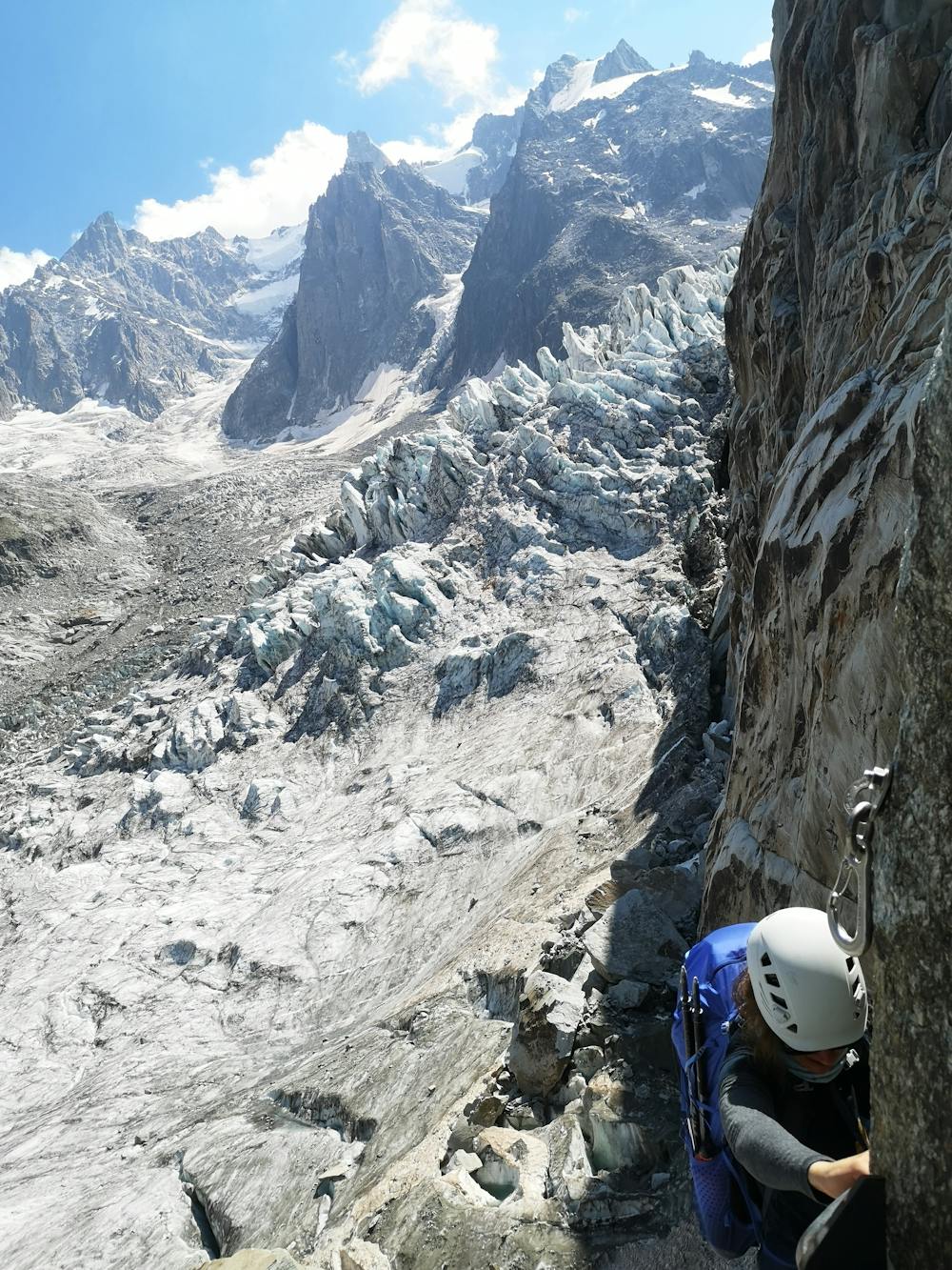
Some trail sections have exposed ledges or steep ascents/descents where falling could cause serious injury.

Away from help but easily accessed.
38 m away
A must-do visit to an ice cave carved in the Mer de Glace glacier.
Easy Hiking
2.6 km away
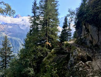
A short loop on one of the best sections of the Petit Balcon Sud trail.
Moderate Hiking
3.1 km away
The easiest hike in Chamonix.
Easy Hiking
3.5 km away
A classic loop around the Chamonix Valley.
Moderate Hiking
3.7 km away
A short and pleasant hike up to a picturesque little mountain hut.
Moderate Hiking
4 km away
Hike to Lac Blanc from La Flegere on one of Chamonix's most famous hikes!
Difficult Hiking
4 km away
A stunning segment of the TMB following the Grand Balcon Sud trail.
Difficult Hiking
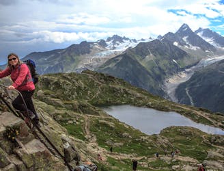
4.2 km away
Packed with incredible views—likely the best bang-for-your-buck hike in Chamonix!
Difficult Hiking
5.1 km away

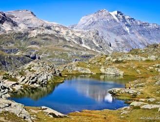
Escape the crowds at Lac Blanc by hiking to Lac Cornu instead.
Severe Hiking
5.8 km away
A tough hike which starts in forests and then brings you out into spectacular, open mountainous terrain.
Moderate Hiking

14 routes · Hiking

5 routes · Hiking

12 routes · Hiking

10 routes · Hiking