3 km away
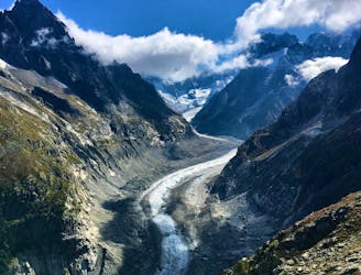
Grotte de Glace
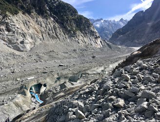
A must-do visit to an ice cave carved in the Mer de Glace glacier.
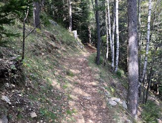
Easy Hiking
- Distance
- 2.2 km
- Ascent
- 225 m
- Descent
- 225 m
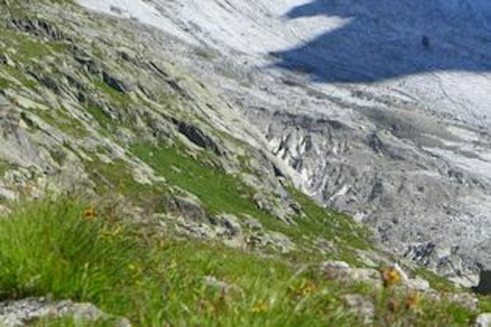
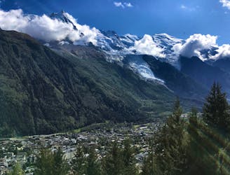
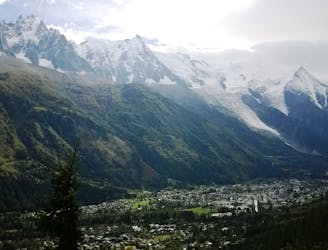
A wild hike through trails above the big glaciers of the Mont Blanc Massif
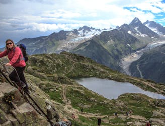
Hiking Extreme

From one very wild alpine hut to another with a perfect view of the biggest North Face in the alps.
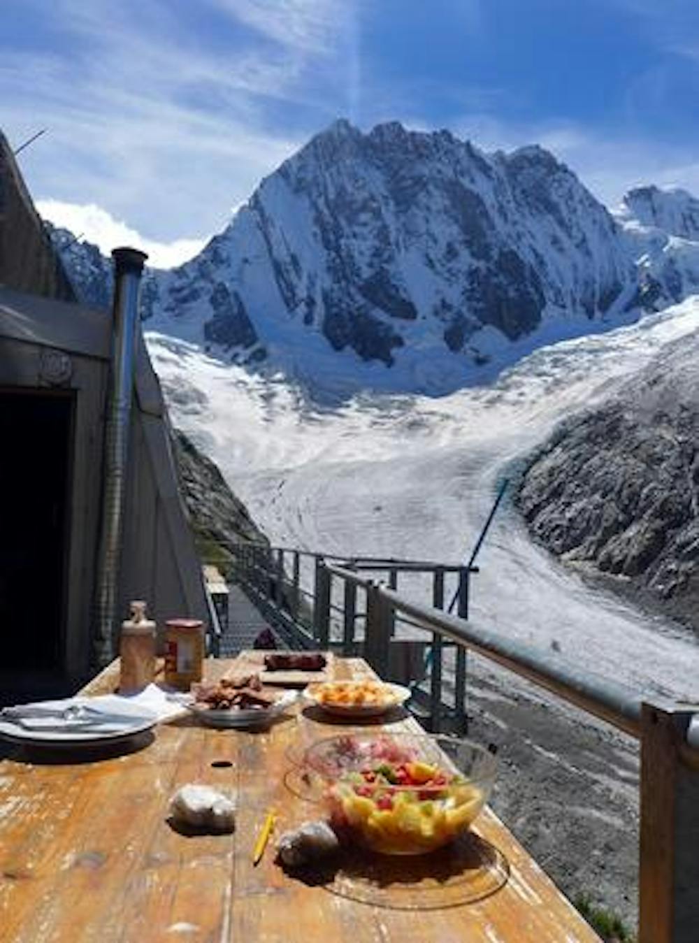
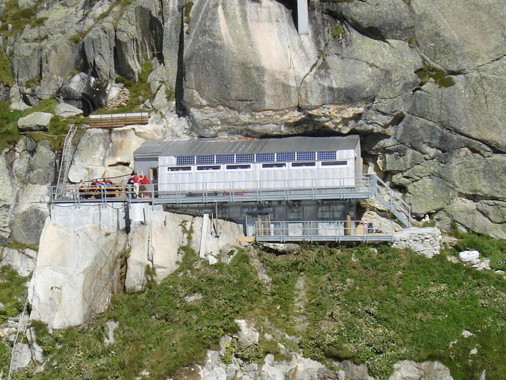
You'll likely be sharing the hut with alpinists getting ready for a big climb and an alarm clock at some unsociable hour but the guardian is welcoming and the hut surprisingly comfortable for such an outrageous position.
Extreme
Scrambling up mountains and along technical trails with moderate fall exposure. Handholds are necessary to navigate the trail in its entirety, although they are not necessary at all times. Some obstacles can be very large and difficult to navigate, and the grades can often be near-vertical. The challenge of the trail and the steepness of the grade results in very strenuous hiking. Hikes of this difficulty blur the lines between "hiking" and "climbing".

In the high mountains or remote conditions, all individuals must be completely autonomous in every situation.
3 km away
A must-do visit to an ice cave carved in the Mer de Glace glacier.
Easy Hiking
5.6 km away
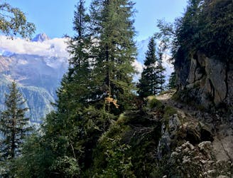
A short loop on one of the best sections of the Petit Balcon Sud trail.
Moderate Hiking
6 km away
Packed with incredible views—likely the best bang-for-your-buck hike in Chamonix!
Difficult Hiking
6.1 km away
The easiest hike in Chamonix.
Easy Hiking
6.5 km away
A classic loop around the Chamonix Valley.
Moderate Hiking
6.5 km away
A short and pleasant hike up to a picturesque little mountain hut.
Moderate Hiking
6.7 km away
Hike to Lac Blanc from La Flegere on one of Chamonix's most famous hikes!
Difficult Hiking
6.7 km away
A stunning segment of the TMB following the Grand Balcon Sud trail.
Difficult Hiking
7 km away
A tough hike which starts in forests and then brings you out into spectacular, open mountainous terrain.
Moderate Hiking
8.1 km away

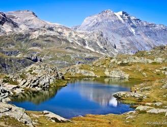
Escape the crowds at Lac Blanc by hiking to Lac Cornu instead.
Severe Hiking

14 routes · Hiking

5 routes · Hiking

12 routes · Hiking

10 routes · Hiking