71 m away
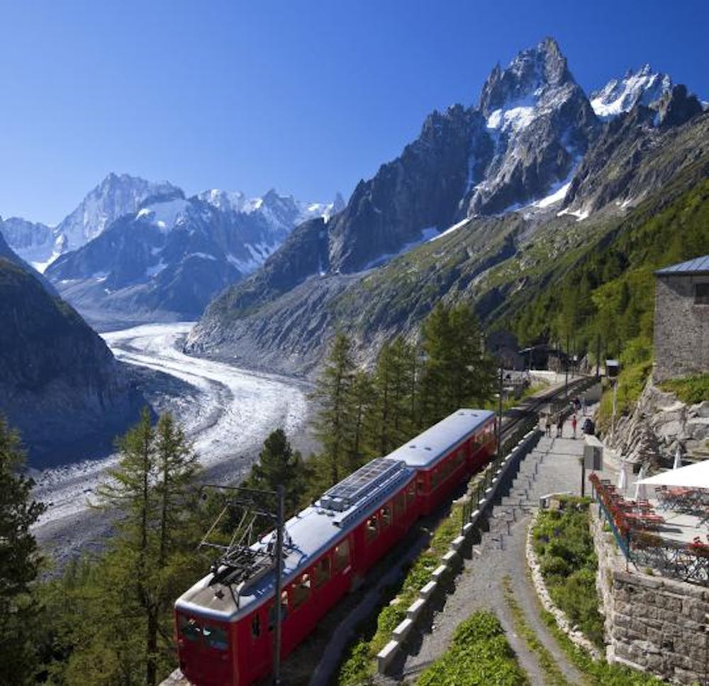
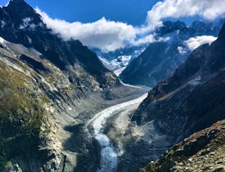
Grotte de Glace
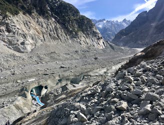
A must-do visit to an ice cave carved in the Mer de Glace glacier.
Easy Hiking
- Distance
- 2.2 km
- Ascent
- 225 m
- Descent
- 225 m
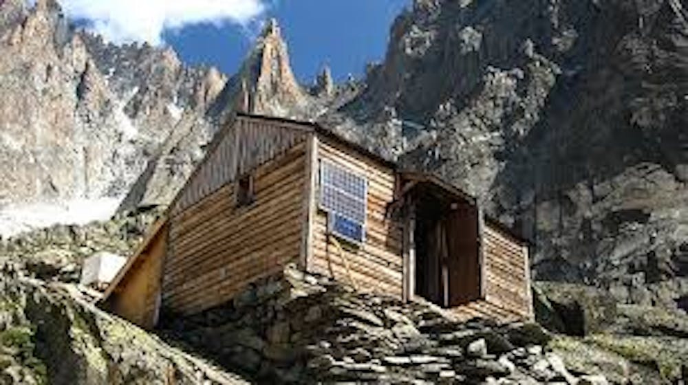
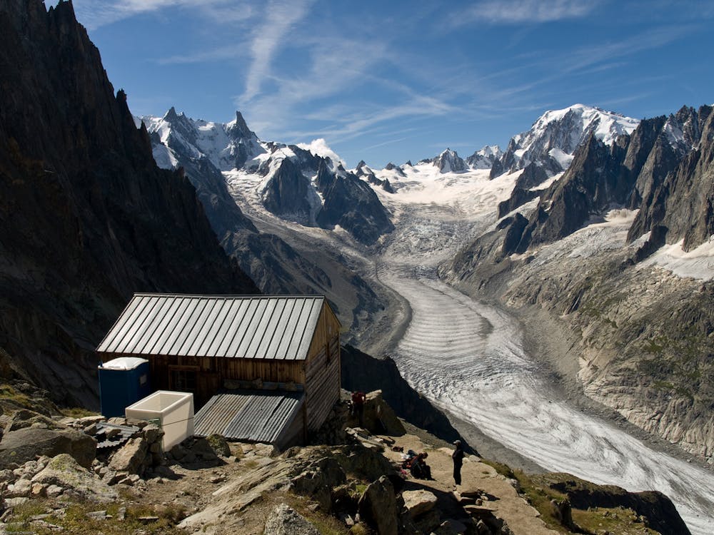
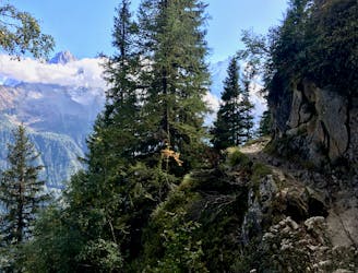
Ladders. Glaciers. Granite. Wild. An unforgettable journey back in time to a tiny refuge which despite only 8 places is still guarded.
Hiking Difficult

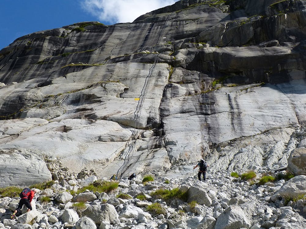
A wonderful, wild hike away from the crowds to a very old, very small refuge. The views are amazing and the whole experience is unforgettable. There is no mountaineering on the route but getting down from the Montenvers train and up from the glacier are long metal ladders so a head for heights is needed. Note that the access from the Mer de Glace has changed - more information can be found here: https://www.chamoniarde.com/images/files/Acc%C3%A8s-Charpoua-2016.pdf.
Difficult
Hiking trails where obstacles such as rocks or roots are prevalent. Some obstacles can require care to step over or around. At times, the trail can be worn and eroded. The grade of the trail is generally quite steep, and can often lead to strenuous hiking.

Some trail sections are extremely exposed where falling will almost certainly result in serious injury or death.

Little chance of being seen or helped in case of an accident.
71 m away
A must-do visit to an ice cave carved in the Mer de Glace glacier.
Easy Hiking
2.6 km away
A short loop on one of the best sections of the Petit Balcon Sud trail.
Moderate Hiking
3.1 km away
The easiest hike in Chamonix.
Easy Hiking
3.6 km away
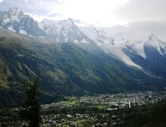
A classic loop around the Chamonix Valley.
Moderate Hiking
3.7 km away
A short and pleasant hike up to a picturesque little mountain hut.
Moderate Hiking
4.1 km away
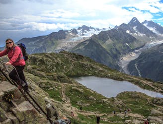
Hike to Lac Blanc from La Flegere on one of Chamonix's most famous hikes!
Difficult Hiking
4.1 km away
A stunning segment of the TMB following the Grand Balcon Sud trail.
Difficult Hiking
4.2 km away
Packed with incredible views—likely the best bang-for-your-buck hike in Chamonix!
Difficult Hiking
5.1 km away

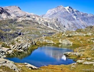
Escape the crowds at Lac Blanc by hiking to Lac Cornu instead.
Severe Hiking
5.9 km away
A tough hike which starts in forests and then brings you out into spectacular, open mountainous terrain.
Moderate Hiking

14 routes · Hiking

5 routes · Hiking

12 routes · Hiking

10 routes · Hiking