55 m away
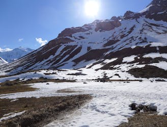
Petit Mont Blanc
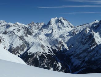
A short tour with a stunning view of the higher Vanoise peaks.
Moderate Ski Touring
- Distance
- 12 km
- Ascent
- 683 m
- Descent
- 1.5 km
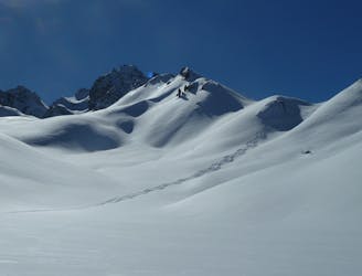
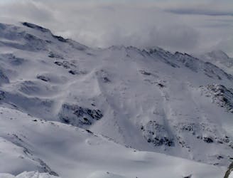
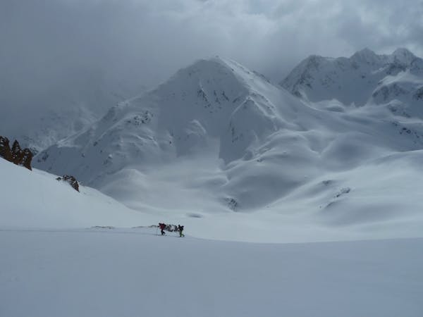
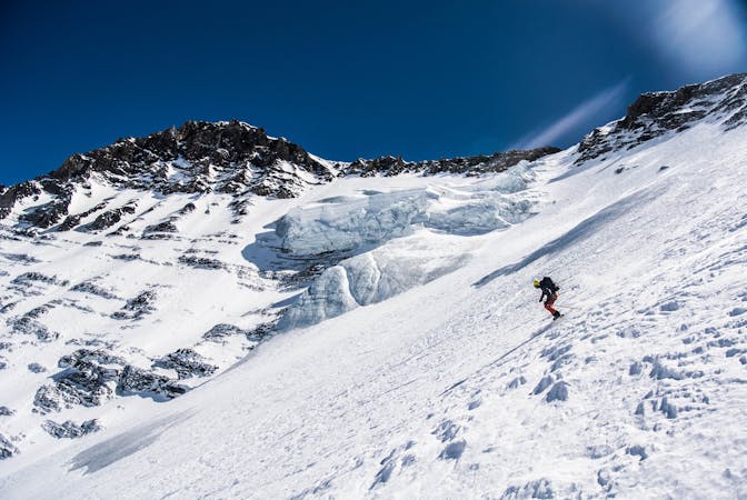
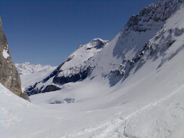
Pic du Mône avec descente dans les avals sous la portetta
Ski Touring Severe

This is a popular ski touring route which is generally considered to be severe. It's very remote, it features high exposure (e3) and is typically done between January and April. From a low point of 1.6 km to the maximum altitude of 2.7 km, the route covers 17 km, 922 vertical metres of ascent and 1868 vertical metres of descent. You'll need crampons to complete it safely.
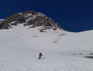
Pas d'équipements spécifiques nécessaires, des crampons peuvent être utiles au sommet du pic pour marcher avec plus de sécurité, mais pas indispensable.
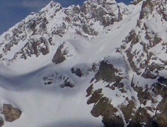
Severe
Steep skiing at 38-45 degrees. This requires very good technique and the risk of falling has serious consequences.

In case of a fall, death is highly likely.
Little chance of being seen or helped in case of an accident.
55 m away
A short tour with a stunning view of the higher Vanoise peaks.
Moderate Ski Touring
66 m away
A classic mellow ski tour through great scenery.
Easy Ski Touring
67 m away
A great morning tour from Courchevel to Pralognan
Difficult Ski Touring
93 m away

A steady short tour through amenable terrain.
Moderate Ski Touring
4.1 km away
One of the easier ski tours linking Courchevel and Pralognan
Difficult Ski Touring
4.9 km away
An enjoyable tour in the shadow of the Glaciers de la Vanoise.
Moderate Ski Touring
4.9 km away
Spring snow heaven!
Difficult Ski Touring
4.9 km away
A fine summit for a short day tour.
Moderate Ski Touring
5.6 km away
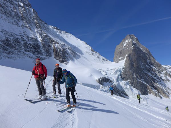
A big day up on to the Glaciers de la Vanoise
Difficult Ski Touring
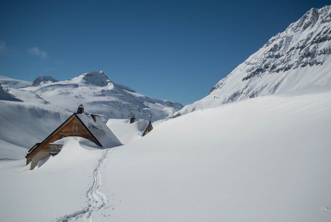
5.8 km away
A very comfortable hut and an ideal entry point into the Vanoise national park.
Easy Ski Touring
5 routes · Ski Touring
5 routes · Ski Touring
5 routes · Ski Touring
11 routes · Ski Touring
4 routes · Ski Touring