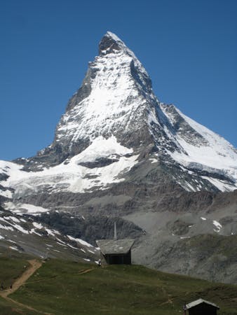
6.5 km away
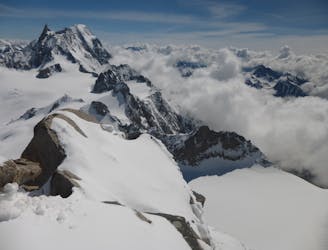
La Thuile to Bonatti Hut
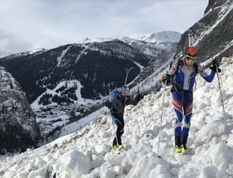
A wild and remote valley to a fabulous descent, then a long valley journey to a superb hut
Difficult Ski Touring
- Distance
- 27 km
- Ascent
- 2.1 km
- Descent
- 1.5 km
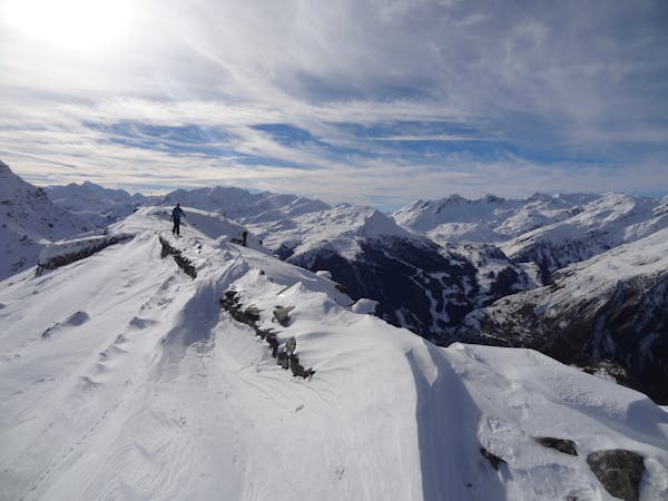
A long traverse and a small hike will take you in another wild valley far away from slopes
Ski Touring Difficult

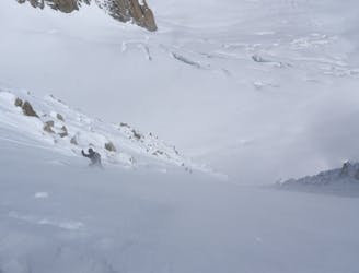
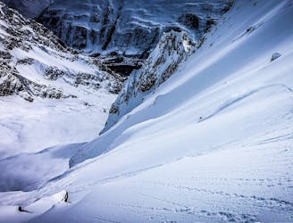
From the top of Arp traverse rightwards (the same beginning as for the Vesses couloir) to reach the Col Youlaz. Keep traversing (now leftwards) into the big bowl and continue almost to its end. When you see the Col above you at 2442 metres (the same one that is used in summer time for the Tour Mont Blanc hike) take your skis off and hike/skin up to the Col. Take care because this part and the last traverse can be prone to avalanche when there is a lot of fresh snow, wind slabs or high temperatures. The slope you climb faces east-northeast so check the avalanche bulletin beforehand to check conditions on this aspect). The Col has an amazing view of Mont Blanc, the Combal lake and all the most remote parts of Val Veny. From the Col ski down, staying slightly left, to reach the middle of the valley where a stream runs in summer time. Then look left to spot a small tree and traverse leftwards for about 70-100 metres to reach another evident small bowl which was not visible before. Ski down this to the summer road and follow it to Zerotta chairlift via some flat sections which require poling. This descent, due to the length of the traverse from the Arp, the climbing and the long flat at the end mean it can be unpleasant for snowboarders unless they are well prepared with splitboards, poles or snowshoes.
Difficult
Serious gradient of 30-38 degrees where a real risk of slipping exists.

As well as the slope itself, there are some obstacles (such as rock outcrops) which could aggravate injury.
Away from help but easily accessed.
6.5 km away
A wild and remote valley to a fabulous descent, then a long valley journey to a superb hut
Difficult Ski Touring
7.9 km away
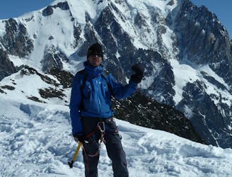
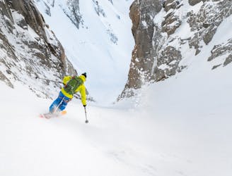
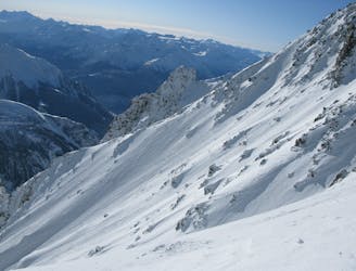
The 'Himalayan' face of Mont Blanc
Extreme Ski Touring
8.4 km away
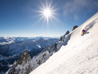
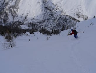
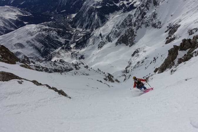
A wild setting sets the tone for an incredible descent, steep and committing.
Severe Ski Touring
8.5 km away
The most straightforward way to ski the Tour Ronde out of its four skiable sides.
Extreme Ski Touring
8.5 km away
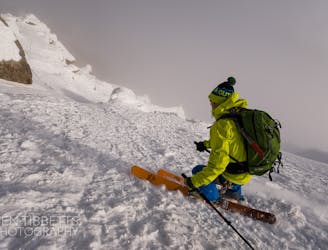
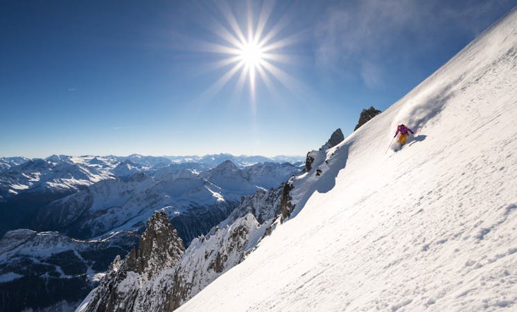
A wild and committing descent. When conditions are good, this is as good as adventurous ski touring gets!
Severe Ski Touring
8.7 km away
One of the areas classic steep north faces. Only 300 meters high, but the top slope is extremely serious
Extreme Ski Touring
8.7 km away
An accessbile steep line, a great 'warm up' to the more extreme descents of the Massif
Extreme Ski Touring
8.7 km away
A remote-feeling peak which provides huge views across Mont Blanc's South face and some fantastic tree skiing.
Moderate Ski Touring
9.2 km away
A steeper but more elegant variation to the classic Marbrée descent
Severe Ski Touring
9.2 km away
Probably the most spectacular descent on the Hellbronner, this line goes through some huge terrain and features steep freeriding.
Severe Ski Touring

10 routes · Freeride Skiing · Ski Touring
4 routes · Ski Touring

50 routes · Freeride Skiing · Ski Touring

15 routes · Freeride Skiing · Ski Touring
9 routes · Freeride Skiing · Ski Touring
3 routes · Ski Touring
3 routes · Ski Touring