6.4 km away
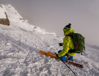
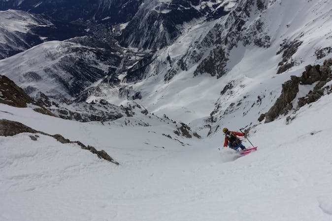
La Thuile to Bonatti Hut
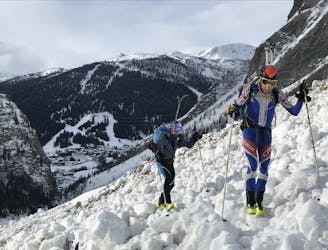
A wild and remote valley to a fabulous descent, then a long valley journey to a superb hut
Difficult Ski Touring
- Distance
- 27 km
- Ascent
- 2.1 km
- Descent
- 1.5 km
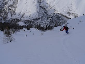
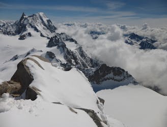
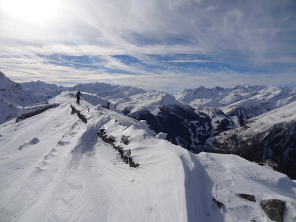
Day Tour to a beautiful amphitheater
Ski Touring Moderate

This is a popular ski touring route which is generally considered to be moderate. It's an unknown remoteness, it features unknown exposure and is typically done in an unknown time of year. From a low point of 1.5 km to the maximum altitude of 2.9 km, the route covers 14 km, 701 vertical metres of ascent and 1736 vertical metres of descent.
beautiful views
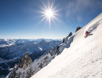
Moderate
Slopes become slightly steeper at around 25-30 degrees.
6.4 km away
A wild and remote valley to a fabulous descent, then a long valley journey to a superb hut
Difficult Ski Touring
7.8 km away
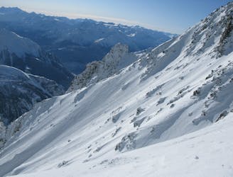
A remote-feeling peak which provides huge views across Mont Blanc's South face and some fantastic tree skiing.
Moderate Ski Touring
7.9 km away
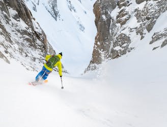
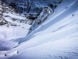
A wild setting sets the tone for an incredible descent, steep and committing.
Severe Ski Touring
7.9 km away
The 'Himalayan' face of Mont Blanc
Extreme Ski Touring
8.1 km away
The most straightforward way to ski the Tour Ronde out of its four skiable sides.
Extreme Ski Touring
8.1 km away
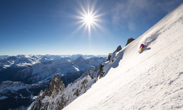
A wild and committing descent. When conditions are good, this is as good as adventurous ski touring gets!
Severe Ski Touring
8.2 km away
One of the areas classic steep north faces. Only 300 meters high, but the top slope is extremely serious
Extreme Ski Touring
8.3 km away
An accessbile steep line, a great 'warm up' to the more extreme descents of the Massif
Extreme Ski Touring
8.5 km away
A steeper but more elegant variation to the classic Marbrée descent
Severe Ski Touring
8.5 km away
Probably the most spectacular descent on the Hellbronner, this line goes through some huge terrain and features steep freeriding.
Severe Ski Touring

10 routes · Freeride Skiing · Ski Touring
4 routes · Ski Touring

50 routes · Freeride Skiing · Ski Touring

15 routes · Freeride Skiing · Ski Touring
9 routes · Freeride Skiing · Ski Touring
3 routes · Ski Touring
3 routes · Ski Touring