1.9 km away
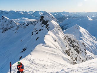
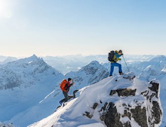
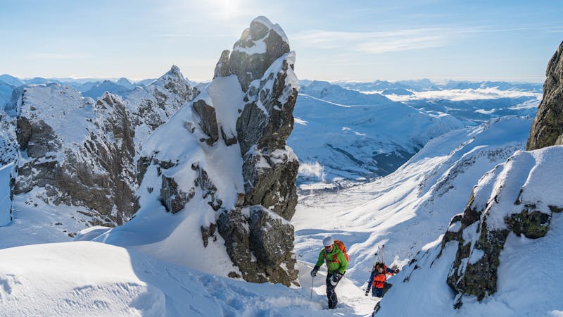
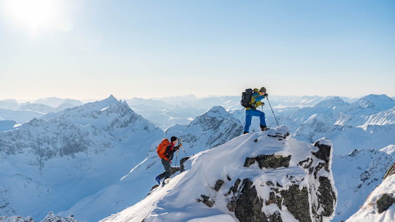
Sætretind - Third Couloir
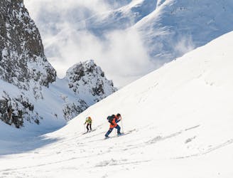
This long couloir ensures an alpine steep skiing adventure you definitely will remember!
Extreme Ski Touring
- Distance
- 6.2 km
- Ascent
- 992 m
- Descent
- 992 m
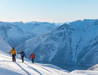
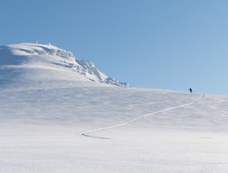
An absolute classic in the area which offers various skiing
Ski Touring Moderate

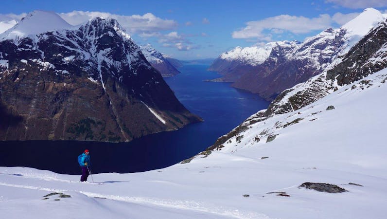
This is a popular ski touring route which is generally considered to be moderate. It's an unknown remoteness, it features unknown exposure and is typically done in an unknown time of year. From a low point of 277 m to the maximum altitude of 1.3 km, the route covers 8.7 km, 1043 vertical metres of ascent and 1045 vertical metres of descent.
Start at the power station in Standal.
Moderate
Slopes become slightly steeper at around 25-30 degrees.
1.9 km away
This long couloir ensures an alpine steep skiing adventure you definitely will remember!
Extreme Ski Touring
1.9 km away
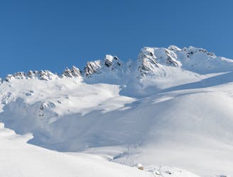
The most popular ski mountain in the Sunnmøre alps
Difficult Ski Touring
1.9 km away
An easy, accessible and popular ski tour with fantastic skiing
Moderate Ski Touring
3.2 km away
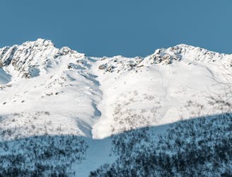
Superb powder skiing in a bowl under a dramatic peak
Difficult Ski Touring
6.1 km away
An alpine summit with stunning view over Kolåstinden
Moderate Ski Touring
6.2 km away
A long but beautiful ski tour in remote and wild surroundings
Difficult Ski Touring
6.9 km away
A long descent with many possibilities
Difficult Ski Touring
6.9 km away
A hidden pearl in the massif of Grøtdalstindane
Severe Ski Touring
7 km away
The most spectacular ski tour in the Sunnmøre alps
Severe Ski Touring
7.7 km away
An alpine massif with many possibilities
Difficult Ski Touring
6 routes · Ski Touring
9 routes · Ski Touring
5 routes · Ski Touring