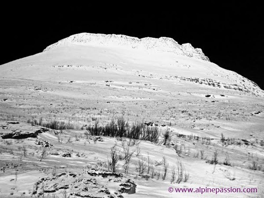
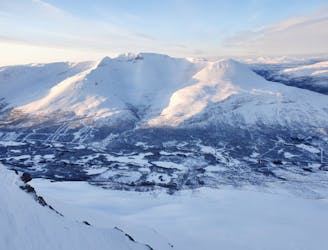
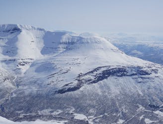
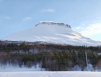
Hattavarre stands out like a fort with a prominent rock band guarding its summit. This may be one reason why it is not the most visited peak although it offers some interesting skiing and possibilities for adventurous lines and great riding. The big white open slopes under the summit crest are truly inviting and the ski mountaineer freerider will find the couloir leading up to the summit interesting!
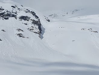
The steep rock band forming a king’s crown under the summit plateau of Hattavarre gives the mountain some added difficulty.
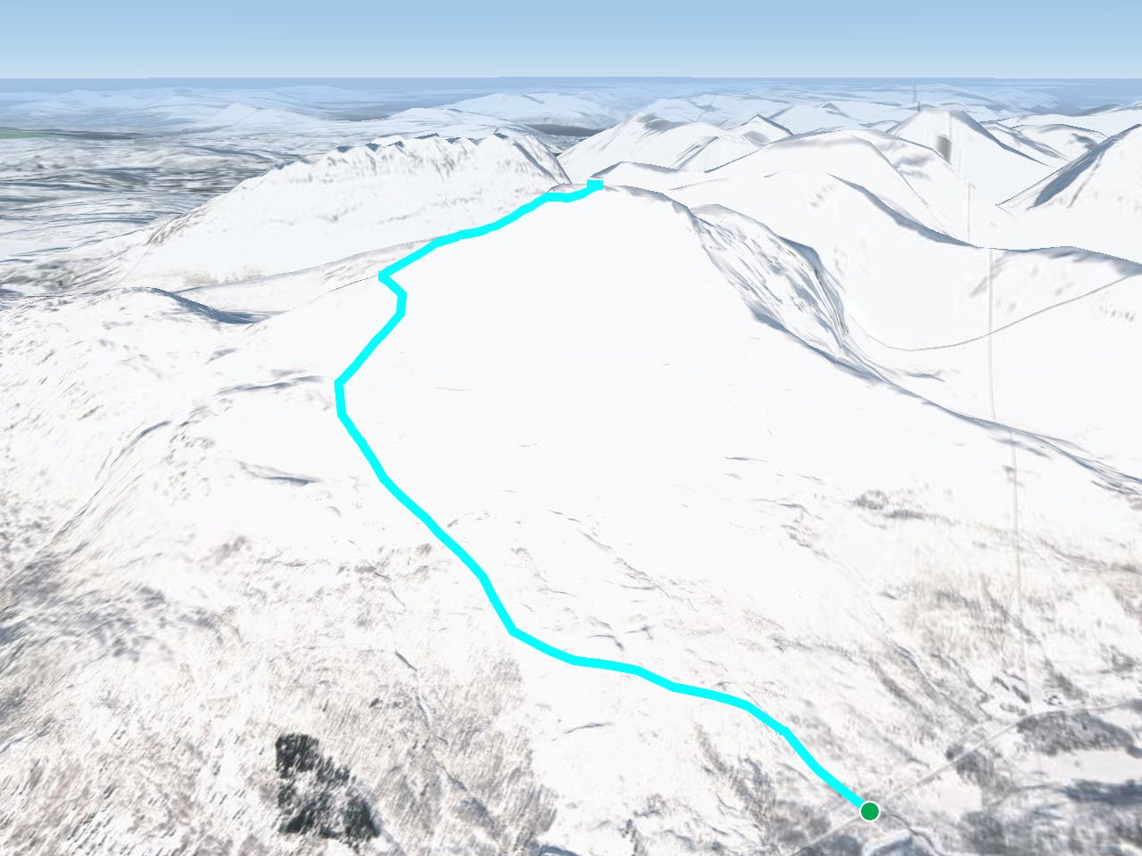
There are two main routes to the summit that overcomes the rock band:
By ascending to the the west ridge and traverse around the mountain and then gain the summit from the north side (as described here), or by climbing the couloir on the S face (which is also in FATMAP).
Both options require very stable snow conditions!
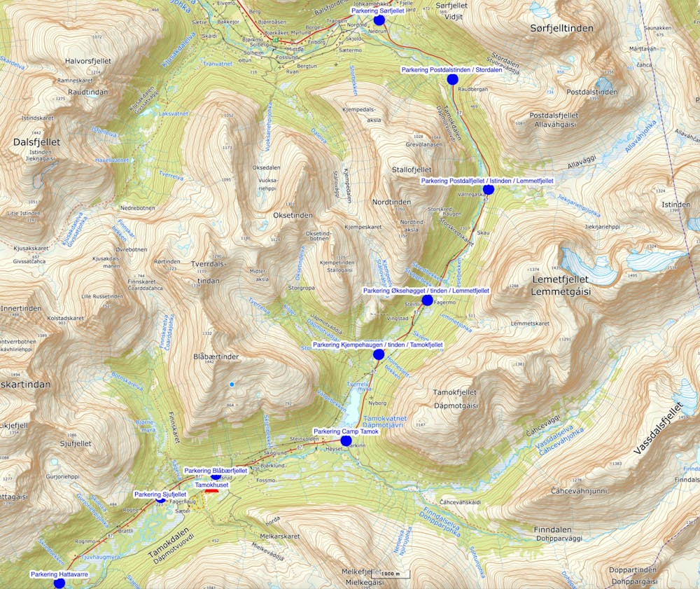
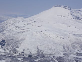
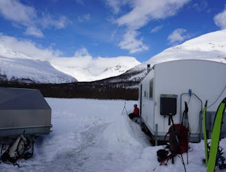
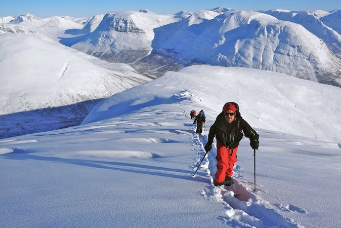
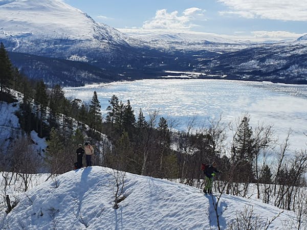
Park the car by the junction and skin up trough sparse trees. Aim for the west ridge. The terrain gets progressively steeper the higher you get (sections of 35°).
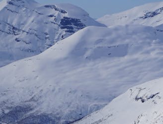
On the ridge at about 1250m you traverse North around the mountain under the rocks to eventually follow the weakness in the terrain that takes you up to the summit plateau from the north.
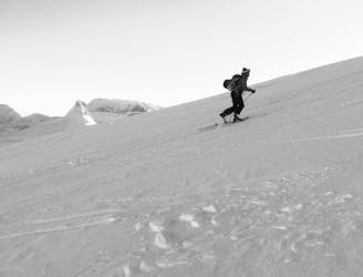
You will traverse from the west ridge into the north slope and the terrain is steep both below and above so you need to be certain of the snow conditions - especially considering that you will cut a traversing track in the whole slope.
The change of aspect from South, West, to then North will likely present you with different snow conditions as you change aspect and gain elevation. Assess snow stability continuously as you go.
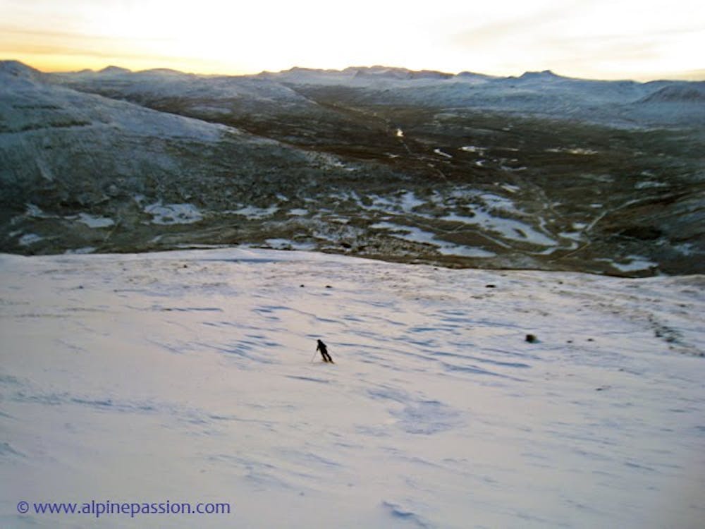
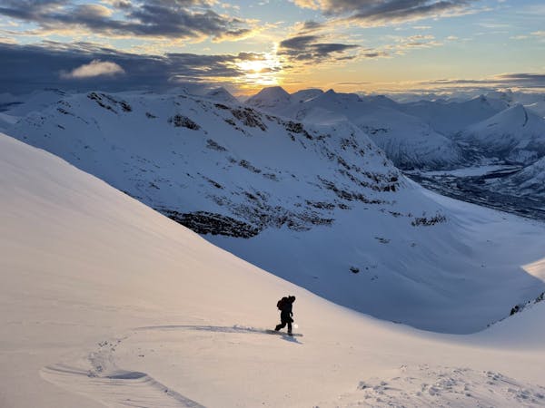
From the summit, people usually ski back the way they came. The best and most consistent skiing will take place from about 1200-1250m under the prominent rock band below the summit. Because of the extra added difficulty to reach the summit itself, most skiers are happy to ski from there.
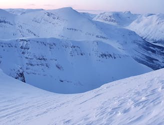
Enjoy charging the open big slopes and an extraordinary sunset if you come down right on time. Hattavarre is truly a stellar spot in the Tamok Valley!
There are also alternative steep descents coming down the east face of Hattavarre, although they are not described here.