32 m away
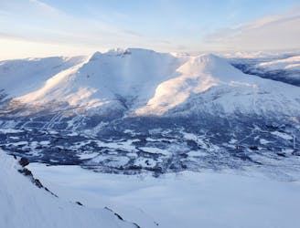
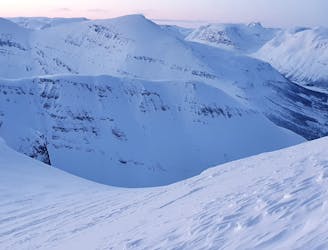
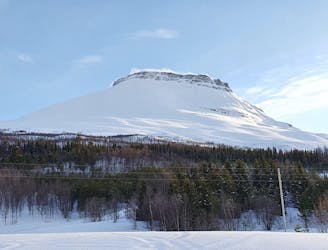
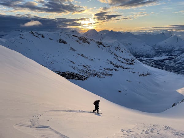
Hattavarre summit from the north
An interesting mountain with big open spaces for freeriding, and a summit guarded by a rock band. Can you overcome it?
Difficult Ski Touring
- Distance
- 9.6 km
- Ascent
- 1.3 km
- Descent
- 1.3 km
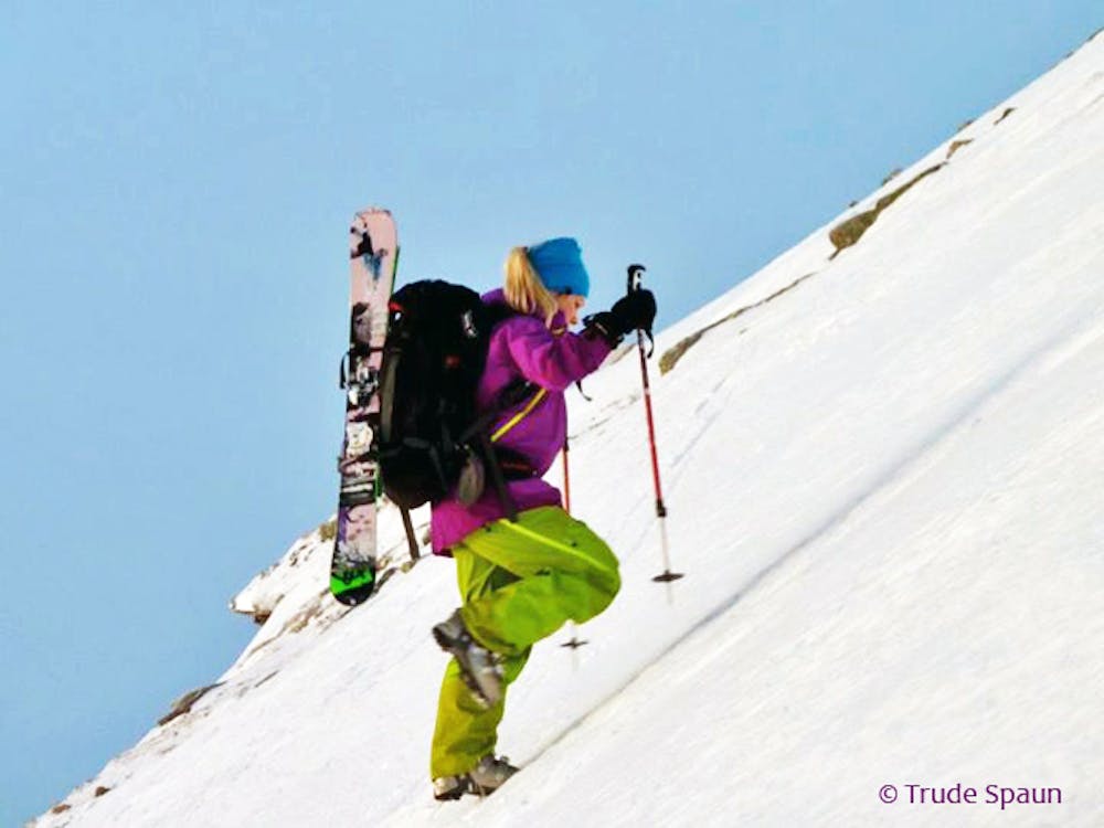
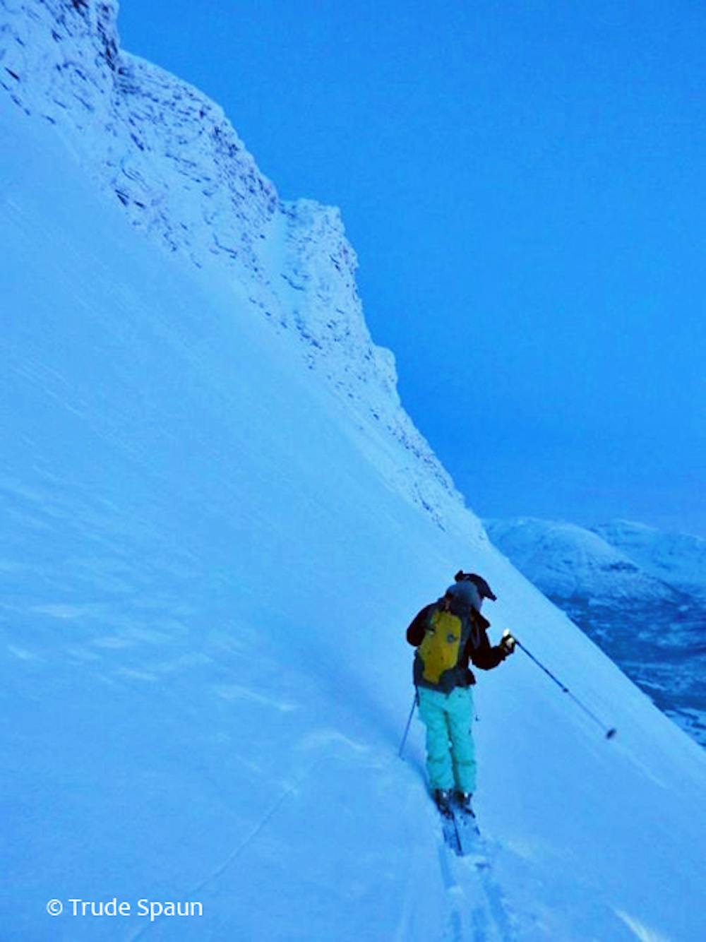
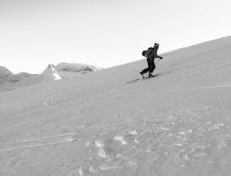
Skiing spring corn snow under Hattavarre is a fun ski experience and the climbing up in the S couloir adds a touch of alpine climbing to the tour.
Ski Touring Severe

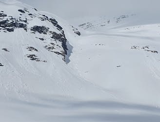
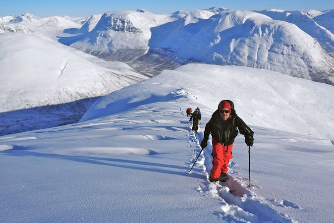
Hattavarre, directly west from Sjufjellet, stands out like a fort with a prominent rock band guarding its summit. This may be one reason why it is not the most visited peak although it offers some interesting skiing and possibilities for adventurous lines. The big white open slopes under the summit crest are truly inviting and the ski mountaineer freerider will find the couloir leading up to the summit interesting!
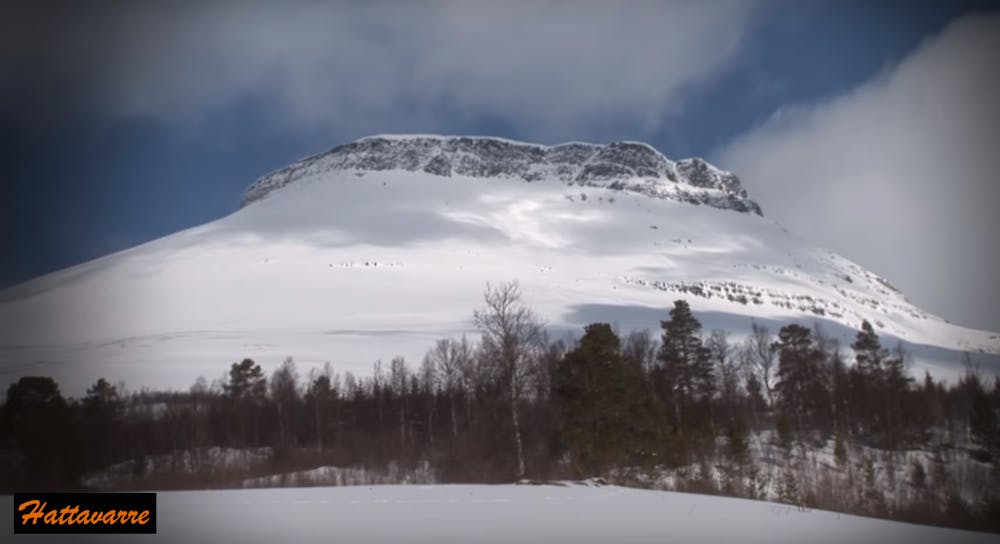
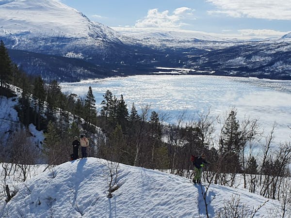
Hattavarre (or Hahttagaisi), at 1407m, is an interesting mountain that offers good skiing and exciting routes leading up towards its summit. Being one of the first of the higher mountains SW in the Tamok valley, it can get a bit beaten up by wind but when in softer condition, the skiing is really nice and exciting.
The steep rock band forming a king’s crown under the summit plateau of Hattavarre gives the mountain some added difficulty. There are two regular passages to attain the summit, one by climbing the obvious slanting couloir (45°) from South described here, or by gaining the west ridge and then traverse around the mountain to reach the summit from the north side (a route which is also in FATMAP). Both options require very stable snow conditions.
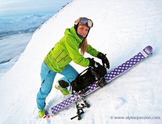
You’ll see the couloir clearly on the South face like a weakness in the rock band. The slope is getting gradually steeper as you approach the rock band (40°) and at some point you’ll start traversing the slope to get to the couloir. The couloir itself is steep but short 45-50° depending on the snow. Bring crampons and an ice axe if your plan is to summit from here.
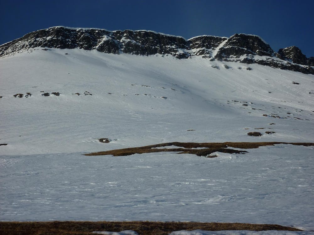
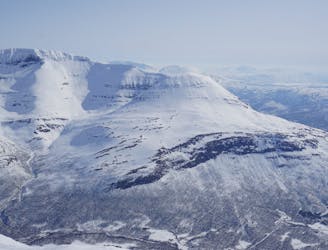
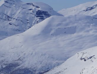
Most people ski back the way they came and the best and most consistent skiing will take place under the prominent rock band below the summit (from about 1250m and down).
The angle under the rocks is consistent and perfect for fun riding at around 35°-40°. Needless to say you are also in a the perfect avalanche prone release zone here so it is important to take care! In fact, one of the largest avalanches in Norway happened on Hattavarre in year 2000. 1,5 km of the Tamok road was blocked as a result…
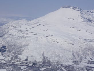
Because of the extra added difficulty to reach the summit itself, most skiers are happy to turn around under the rock band. But if you have the safe snow conditions, why not make your adventure?
Severe
Steep skiing at 38-45 degrees. This requires very good technique and the risk of falling has serious consequences.

Exposure is limited to that of the slope itself. Getting hurt is still likely if the slope is steep and/or the snow is hard.

Little chance of being seen or helped in case of an accident.
32 m away
An interesting mountain with big open spaces for freeriding, and a summit guarded by a rock band. Can you overcome it?
Difficult Ski Touring
295 m away
Linking up two of the better North facing slopes in the Tamokdalen Backcountry
Difficult Ski Touring
336 m away
Possibly the best sunset run within all of the Tamokdalen Backcountry
Difficult Ski Touring
828 m away
A great line to ride if conditions are stable but just eye candy otherwise
Difficult Ski Touring
3.4 km away
Setting up a route to make the most out of the West facing chutes
Difficult Ski Touring
3.4 km away
Ski the fantastic classic normal route or drop big on the front face when conditions align
Moderate Ski Touring
3.4 km away
The grand tour of the terrain just north of Tamokhuset
Difficult Ski Touring
3.4 km away
A great tour to get the views and enjoy your time in the alpine.
Moderate Ski Touring
4.6 km away
A long and scenic ski tour from Through Norway, Sweden and Finland
Severe Ski Touring
4.6 km away
Making the most out of a rare sunny night during the midnight sun.
Difficult Ski Touring
5 routes · Ski Touring
8 routes · Ski Touring
3 routes · Ski Touring