647 m away
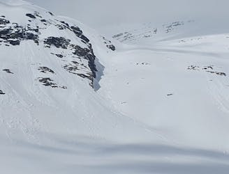
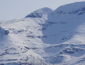
Sjufjellet Northeast Bowl
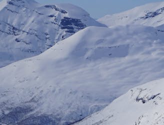
A great tour to get the views and enjoy your time in the alpine.
Moderate Ski Touring
- Distance
- 6.7 km
- Ascent
- 870 m
- Descent
- 870 m
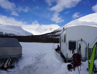
Ski Mountanering from Andorra Team 2024
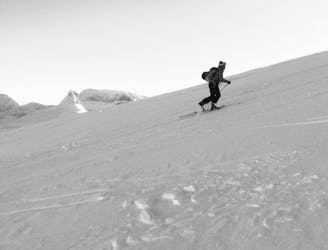
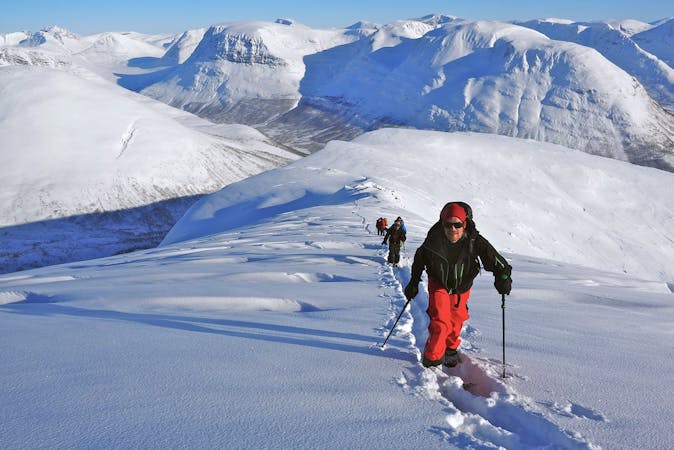
Ski Touring Moderate

This is a popular ski touring route which is generally considered to be moderate. It's remote, it features medium exposure (e2) and is typically done between March and May. From a low point of 231 m to the maximum altitude of 1.5 km, the route covers 9.9 km, 1679 vertical metres of ascent and 403 vertical metres of descent. It's graded 4.2 and Labande grade 4. You'll need skins and crampons to complete it safely.
Ski Montanering
Moderate
Slopes become slightly steeper at around 25-30 degrees.

As well as the slope itself, there are some obstacles (such as rock outcrops) which could aggravate injury.
Away from help but easily accessed.
647 m away
A great tour to get the views and enjoy your time in the alpine.
Moderate Ski Touring
647 m away
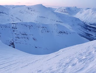
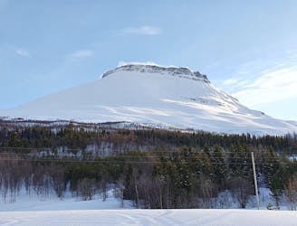
The grand tour of the terrain just north of Tamokhuset
Difficult Ski Touring
661 m away
Ski the fantastic classic normal route or drop big on the front face when conditions align
Moderate Ski Touring
671 m away
Setting up a route to make the most out of the West facing chutes
Difficult Ski Touring
853 m away
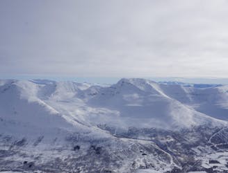
A long and scenic ski tour from Through Norway, Sweden and Finland
Severe Ski Touring
854 m away
Making the most out of a rare sunny night during the midnight sun.
Difficult Ski Touring
855 m away

The instant classic line just behind Tamokhuset
Moderate Ski Touring
859 m away
A scenic and relatively unexplored corner of the Tamokdalen Backcountry
Difficult Ski Touring
866 m away
Making the most out of the backcountry just behind Tamokhuset
Moderate Ski Touring
870 m away
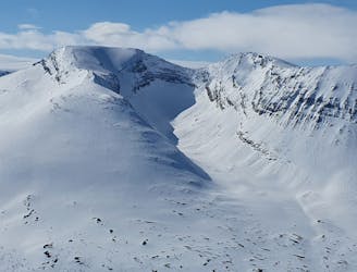
A great sheltered bowl just out of reach from the average ski tourer right behind Tamokhuset.
Difficult Ski Touring
5 routes · Ski Touring
8 routes · Ski Touring
3 routes · Ski Touring