4.4 km away
Bisse du Levron
A gentle walk along a mostly flat route with the sound of running water alongside you for the entirety.
Easy Hiking
- Distance
- 18 km
- Ascent
- 457 m
- Descent
- 457 m
Opened in 1908, this bisse was abandoned in 1942. It was completely restored and a new trail inaugurated in October 2013
Hiking Easy

Below the village of Bruson, about 200 metres above the village, there is a car park in a bend (follow rte de Valbord). The path to reach the bisse begins in the hairpin bend opposite the car park. Climb for about 50 metres along the river until you cross a little bridge going east. Follow the path which is quite flat until you reach a steep ascent lasting about 10 minutes. This is the start of the bisse.
Follow the path of the bisse until the point at which it takes water. For the way back, you can take a forest track which descends to just above the village of Bruson. To do so, take a path that starts above the bisse about 100 metres after the wooden waterfall. After about 50 metres you will reach the forest road which you follow downhill. When you arrive in Bruson, follow the agricultural road uphill to where the bisse starts. uphill to where the bisse starts.
Easy
Walking along a well-kept trail that’s mostly flat. No obstacles are present.
4.4 km away
A gentle walk along a mostly flat route with the sound of running water alongside you for the entirety.
Easy Hiking
4.4 km away
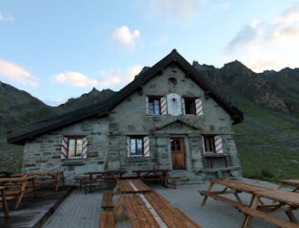
A short walk Around La Chaux including Cabane Mont Fort.
Moderate Hiking
6.8 km away
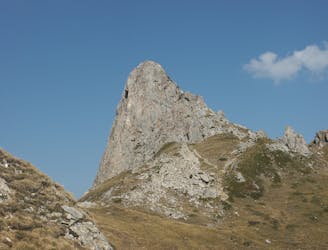
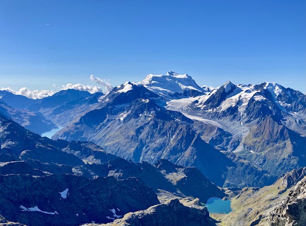
A medium to long walk via Pierre Avoi and Chute des Bisse across a fantastic ridge line that ends at a 360 view of Val de Bagnes and the Rhone Valley.
Difficult Hiking
8.3 km away
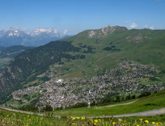
Day 8: A long, winding traverse through alpine meadows perched high above the Rhône Valley.
Difficult Hiking

14 routes · Hiking
5 routes · Hiking