5.2 km away
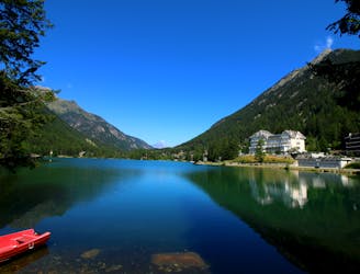
Bisse du Levron
A gentle walk along a mostly flat route with the sound of running water alongside you for the entirety.
Easy Hiking
- Distance
- 18 km
- Ascent
- 457 m
- Descent
- 457 m
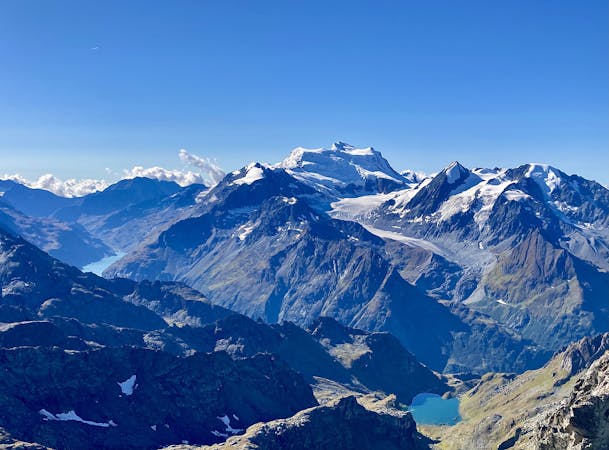
La Côt Cabane de Mille Mont-Brûlé
Hiking Moderate

This is a popular hiking route which is generally considered to be moderate. It's remote, it features medium exposure and is typically done between June and October. From a low point of 1.5 km to the maximum altitude of 2.6 km, the route covers 18 km, 1188 vertical metres of ascent and 1189 vertical metres of descent.
Beautiful hike (loop) above Bruson with nice views.
Moderate
Hiking along trails with some uneven terrain and small hills. Small rocks and roots may be present.

The trail contains some obstacles such as outcroppings and rock which could cause injury.
Away from help but easily accessed.
5.2 km away
A gentle walk along a mostly flat route with the sound of running water alongside you for the entirety.
Easy Hiking
5.2 km away
A short walk Around La Chaux including Cabane Mont Fort.
Moderate Hiking
7.1 km away
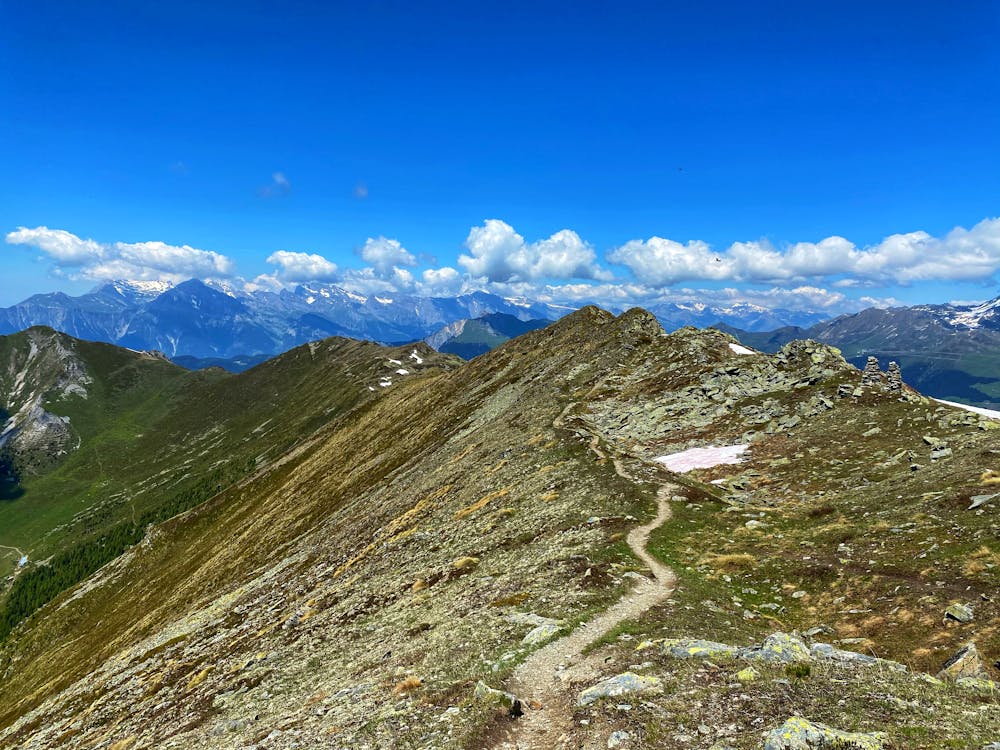
A medium to long walk via Pierre Avoi and Chute des Bisse across a fantastic ridge line that ends at a 360 view of Val de Bagnes and the Rhone Valley.
Difficult Hiking
7.4 km away
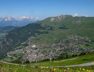
Day 8: A long, winding traverse through alpine meadows perched high above the Rhône Valley.
Difficult Hiking

14 routes · Hiking
5 routes · Hiking