4.5 km away
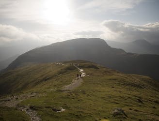
Striding Edge and Swirral Edge, Helvellyn
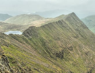
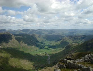
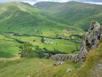
Overwhelming popularity cannot diminish the spectacular class of England’s finest ridge walking horseshoe, a circuit of the chiseled crests cupping the Red Tarn cove.
Severe Hiking
- Distance
- 17 km
- Ascent
- 876 m
- Descent
- 1.4 km