2.1 km away
Cat Bells and the Lake Shore
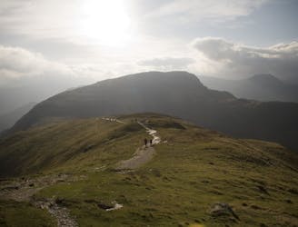
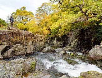
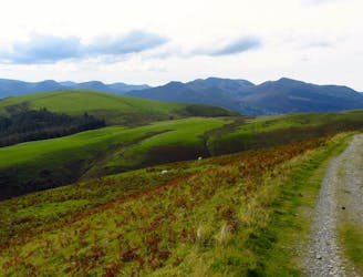
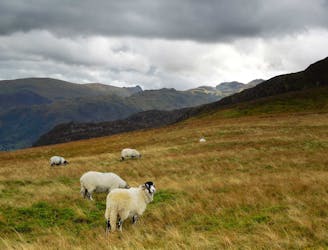
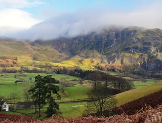
For one of the best short routes in the north Lakes combine the charismatic mini mountain Cat Bells with a ramble along the wooded west side of Derwentwater - perhaps the most picturesque shoreline in England.
Moderate Hiking
- Distance
- 7.3 km
- Ascent
- 439 m
- Descent
- 440 m