1 m away
Sweetwater Preserve
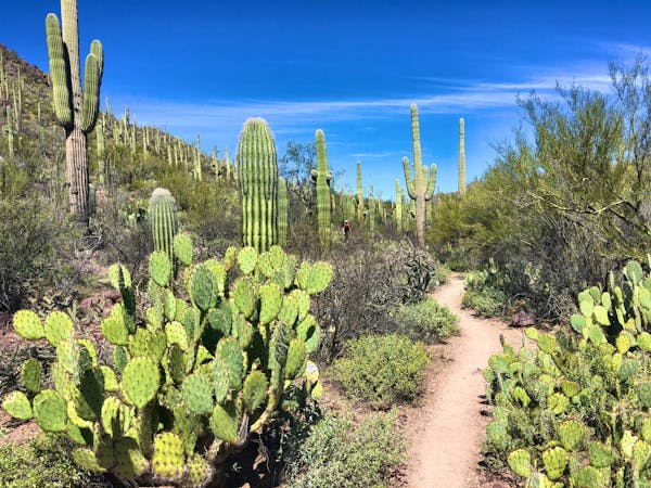
An idyllic preserve filled with towering saguaro cacti.
Easy Hiking
- Distance
- 16 km
- Ascent
- 207 m
- Descent
- 207 m
A delightful bite-sized hike in Sweewater Preserve
Hiking Easy

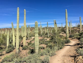
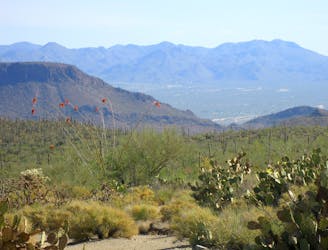
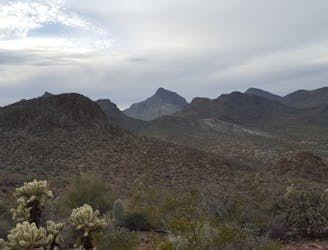
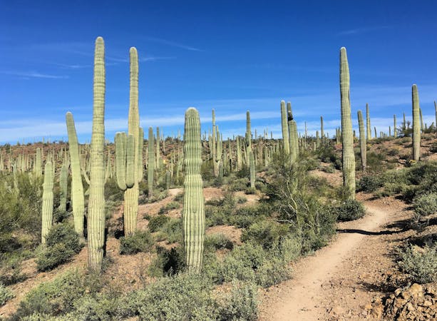
Sweetwater Preserve protects an 880 acre parcel of the Sonoran Desert that’s filled to bursting with towering saguaro cacti. This open space area is located just half a mile from Saguaro National Park “and a biological research preserve owned by the University of Arizona,” according to PIMA.gov. Tucson Mountain Park is also located just to the south. With so much protected space surrounding this small preserve, after hiking a short distance, you can feel like you’re in the middle of the desert, even though you’re right on the outskirts of the city!
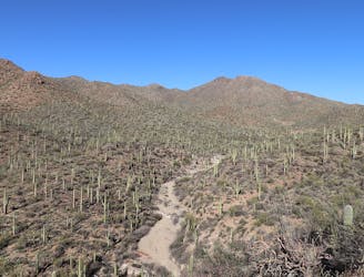
This network of trails offers the opportunity to hike just a short couple of miles or to spend the better part of the day wandering through the desert. The route mapped here offers a short bite-sized 4-mile hike on the Desperado Loop. Conveniently accessible directly from the trailhead, this route provides a delightful dose of Sweetwater Preserve that just about anyone can handle.
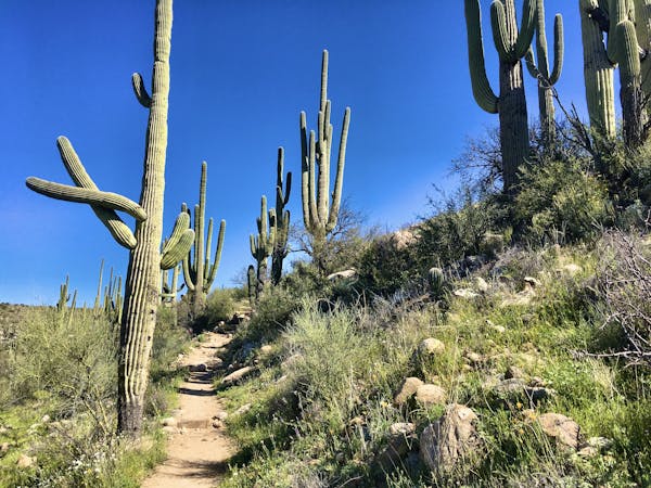
While the trail tread at Sweetwater Preserve is non-technical overall, the Desperado Loop may be the smoothest and easiest trail in the network. All of the climbs and descents are quite mellow, so the only thing that could really pose a challenge out here is the heat of the sun.
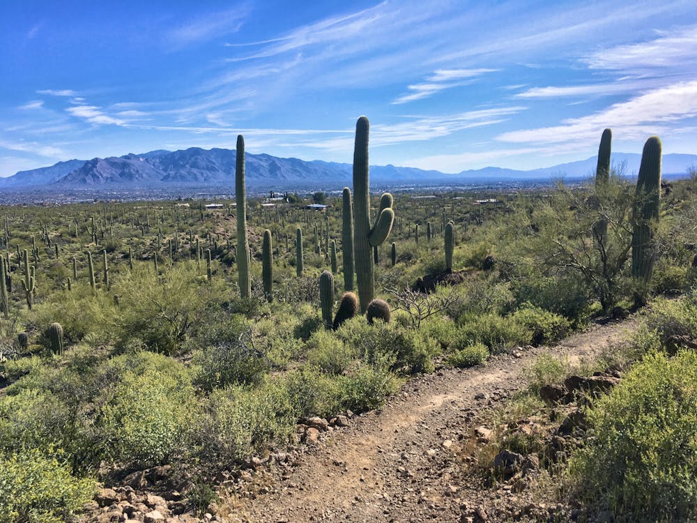
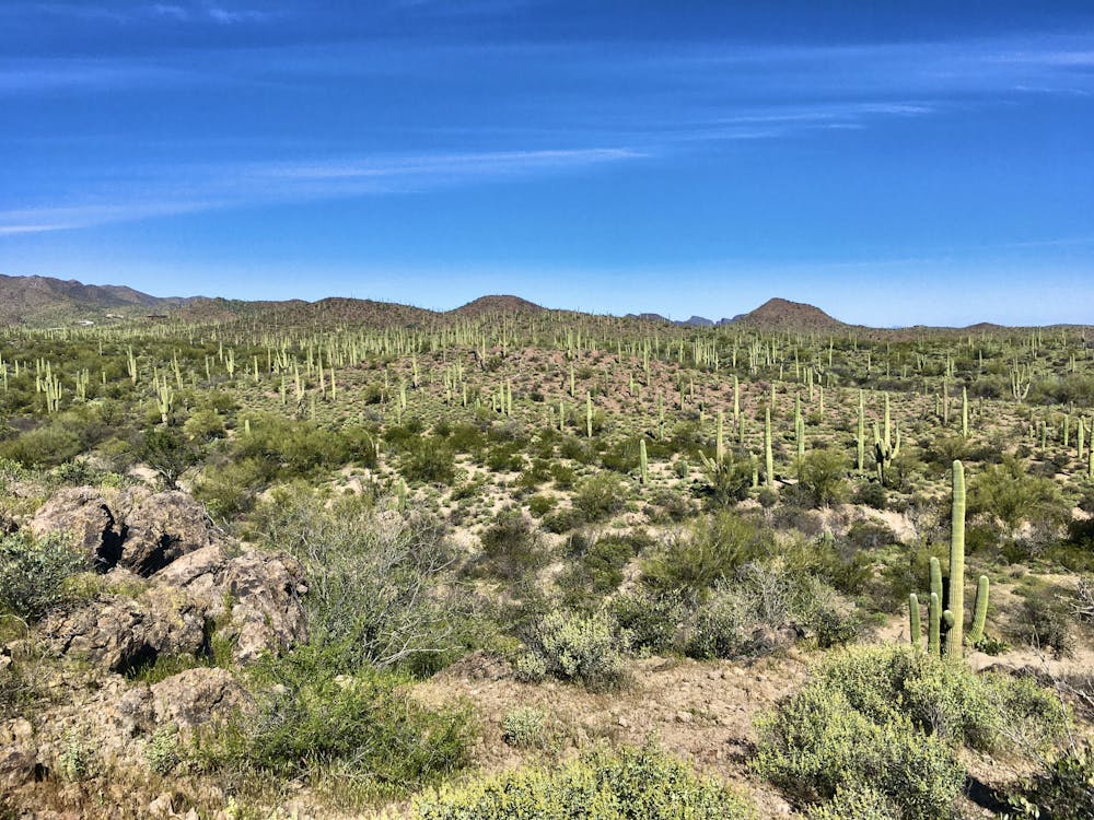
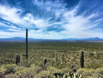
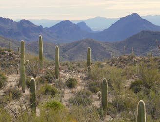
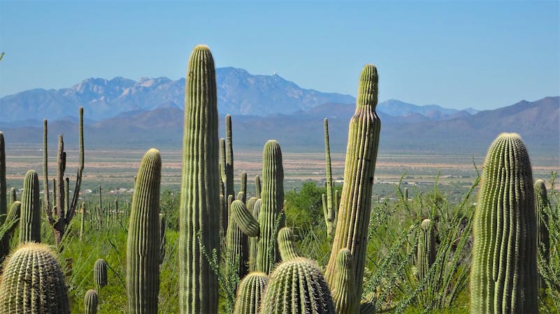
Regardless of the exact route you choose, you’ll find yourself immersed in the Sonoran Desert’s magical beauty. The saguaro cacti tower high above the trail, and when you gain the top of a rise and look out over the preserve, you may be shocked at the density of the massive cacti in this area! Some people find themselves underwhelmed by Saguaro National Park… but it’s tough to be underwhelmed by the beauty and immensity of the desert here at Sweetwater Preserve!
Source: https://webcms.pima.gov/cms/one.aspx?portalId=169&pageId=1531
Easy
Walking along a well-kept trail that’s mostly flat. No obstacles are present.

The path is on completely flat land and potential injury is limited to falling over.
Close to help in case of emergency.
1 m away
An idyllic preserve filled with towering saguaro cacti.
Easy Hiking
3.8 km away
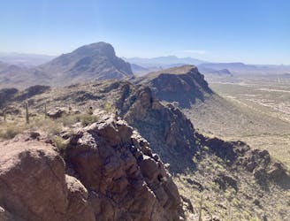
Climb to the highest peak in the Tucson Mountain.
Difficult Hiking
8 km away
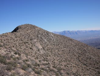
A mellow walk through open desert, then a steep but short climb to a panoramic ridgeline.
Moderate Hiking
8.5 km away
Hike along a gorgeous ridge with stupendous views of the Tucson Mountains and Saguaro National Park.
Difficult Hiking
8.7 km away
A full-value loop to the highest point in the Tucson Mountains District of Saguaro National Park.
Difficult Hiking
8.7 km away
Mountainside cactus forest and an old copper mine, plus a backcountry picnic area with a view.
Moderate Hiking
8.8 km away
A cactus-filled hike through eastern Tuscon Mountain Park.
Difficult Hiking
9.9 km away
Short, steep hike to gain incredible views!
Severe Hiking
10 routes · Hiking
4 routes · Hiking
7 routes · Hiking · Trail Running
5 routes · Hiking

9 routes · Hiking
6 routes · Hiking
7 routes · Hiking

32 routes · Mountain Biking · Hiking · Road Biking

63 routes · Alpine Climbing · Hiking

10 routes · Alpine Climbing · Canyoning · Hiking