1 m away
Wasson Peak Loop
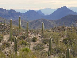
A full-value loop to the highest point in the Tucson Mountains District of Saguaro National Park.
Difficult Hiking
- Distance
- 12 km
- Ascent
- 579 m
- Descent
- 579 m

Mountainside cactus forest and an old copper mine, plus a backcountry picnic area with a view.
Hiking Moderate

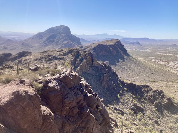
This loop combines the Tucson Mountains' nature and scenery with some interesting history, in the form of an old copper mine. More traces of mining can be found all along the hike if you look carefully. The trails of this loop begin in Tucson Mountain Park, not in Saguaro National Park, but they enter the national park soon after the start.
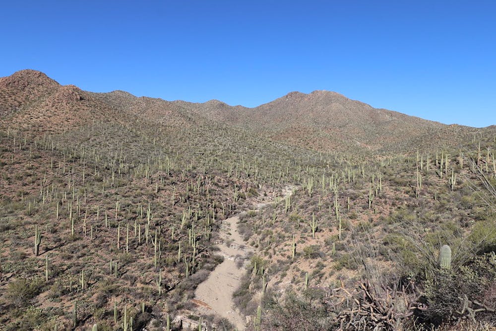
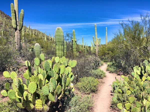
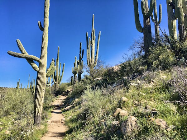
The loop is good in either direction, but going uphill on the King Canyon Trail is a bit easier than going up on Gould Mine. King Canyon Trail is an old mining track, now littered with loose rocks, but it’s wide and never too steep. It traverses a long hillside among all types of Sonoran vegetation, overlooking a wash in the bottom of the valley. Higher in the valley, the trail meets this wash, and you’ll cross it to continue on Sendero Esperanza Trail. A side trail goes to the Mam-A-Gah picnic area, which has shade structures, picnic tables, and grills, but no water. Because of the hike to get there, the picnic area is lightly used. If you pack in your supplies, you can have a very rewarding meal with a view down the valley.
From the picnic area, the trail climbs briefly to a saddle, then crosses into a neighboring valley, where you’ll see the orange and green waste piles of the mine. Continue just past the junction with Gould Mine Trail to reach it. You can peer into disused shafts and find ruined stone structures beside the trail. To complete the loop, backtrack to Gould Mine Trail and take it down this valley. The rocky trail descends to the wash, then crosses it to climb out the other side, and later rejoins King Canyon Trail at the starting point.
Sources: https://www.nps.gov/sagu/planyourvisit/saguarohiking.htm https://www.americansouthwest.net/arizona/saguaro/gould-mine-trail.html
Moderate
Hiking along trails with some uneven terrain and small hills. Small rocks and roots may be present.
1 m away

A full-value loop to the highest point in the Tucson Mountains District of Saguaro National Park.
Difficult Hiking
3.4 km away
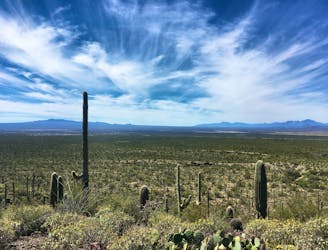
Hike along a gorgeous ridge with stupendous views of the Tucson Mountains and Saguaro National Park.
Difficult Hiking
4.1 km away
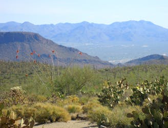
A mellow walk through open desert, then a steep but short climb to a panoramic ridgeline.
Moderate Hiking
4.3 km away
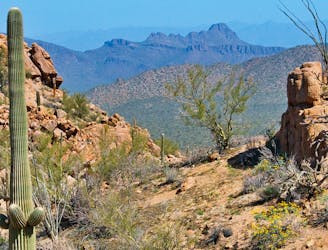
The most scenic route to the top of Wasson Peak, and perhaps in all of Saguaro West.
Difficult Hiking
4.4 km away
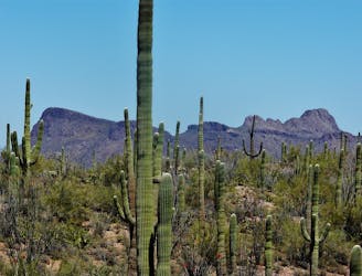
Mellow hike among desert flora and low hills within the Bajada Scenic Loop.
Easy Hiking
4.4 km away
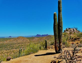
A quick hike through colorful cactus forest, to a panoramic overlook on a hill.
Moderate Hiking
6.1 km away
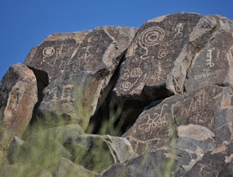
Not much of a hike, but a quick walk to the site of well-preserved Native American rock art.
Easy Hiking
6.3 km away
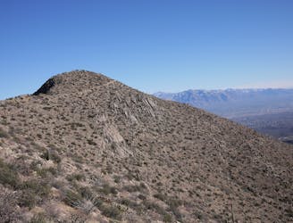
Climb to the highest peak in the Tucson Mountain.
Difficult Hiking
8.7 km away
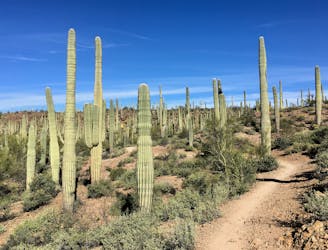
An idyllic preserve filled with towering saguaro cacti.
Easy Hiking
8.7 km away
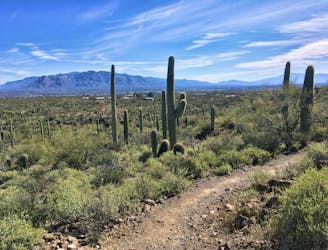
A delightful bite-sized hike in Sweewater Preserve
Easy Hiking
10 routes · Hiking
4 routes · Hiking
5 routes · Hiking
9 routes · Hiking
6 routes · Hiking
7 routes · Hiking
32 routes · Mountain Biking · Hiking · Road Biking

63 routes · Alpine Climbing · Hiking
10 routes · Alpine Climbing · Canyoning · Hiking